1021 Tall Oaks Cir Mc Calla, AL 35111
Estimated Value: $449,000 - $619,890
3
Beds
3
Baths
5,891
Sq Ft
$91/Sq Ft
Est. Value
About This Home
This home is located at 1021 Tall Oaks Cir, Mc Calla, AL 35111 and is currently estimated at $535,973, approximately $90 per square foot. 1021 Tall Oaks Cir is a home located in Jefferson County with nearby schools including Mcadory Elementary School, Mcadory Middle School, and Mcadory High School.
Ownership History
Date
Name
Owned For
Owner Type
Purchase Details
Closed on
Jul 28, 2004
Sold by
Freeman V Edward and Freeman Suzanne D
Bought by
Harmon Thomas E and Harmon Emily S
Current Estimated Value
Home Financials for this Owner
Home Financials are based on the most recent Mortgage that was taken out on this home.
Original Mortgage
$305,600
Outstanding Balance
$153,952
Interest Rate
6.24%
Mortgage Type
Purchase Money Mortgage
Estimated Equity
$382,021
Purchase Details
Closed on
Mar 28, 1998
Sold by
As Hester Kerry M and As Anita
Bought by
Freeman V Edward and Freeman Suzanne D
Create a Home Valuation Report for This Property
The Home Valuation Report is an in-depth analysis detailing your home's value as well as a comparison with similar homes in the area
Home Values in the Area
Average Home Value in this Area
Purchase History
| Date | Buyer | Sale Price | Title Company |
|---|---|---|---|
| Harmon Thomas E | $382,000 | -- | |
| Freeman V Edward | $342,000 | -- |
Source: Public Records
Mortgage History
| Date | Status | Borrower | Loan Amount |
|---|---|---|---|
| Open | Harmon Thomas E | $305,600 | |
| Closed | Harmon Thomas E | $50,000 |
Source: Public Records
Tax History Compared to Growth
Tax History
| Year | Tax Paid | Tax Assessment Tax Assessment Total Assessment is a certain percentage of the fair market value that is determined by local assessors to be the total taxable value of land and additions on the property. | Land | Improvement |
|---|---|---|---|---|
| 2024 | $2,758 | $52,520 | -- | -- |
| 2022 | $2,591 | $52,770 | $8,330 | $44,440 |
| 2021 | $2,008 | $41,140 | $8,330 | $32,810 |
| 2020 | $2,367 | $37,090 | $8,330 | $28,760 |
| 2019 | $1,993 | $40,840 | $0 | $0 |
| 2018 | $2,006 | $41,100 | $0 | $0 |
| 2017 | $1,916 | $39,300 | $0 | $0 |
| 2016 | $1,916 | $39,300 | $0 | $0 |
| 2015 | $2,146 | $43,900 | $0 | $0 |
| 2014 | $2,166 | $41,540 | $0 | $0 |
| 2013 | $2,166 | $43,240 | $0 | $0 |
Source: Public Records
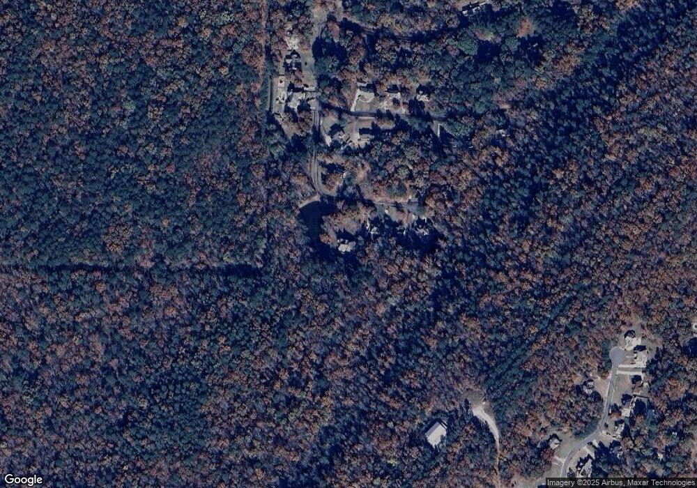
Map
Nearby Homes
- 1016 Tall Oaks Cir Unit 1
- 2186 Rock Mountain Lake Dr
- 6525 Shadowrock Cir Unit 10
- 2157 Lakeside Dr
- 1134 Rock Crest Dr
- 1114 Rock Crest Dr
- 2134 Rock Mountain Dr
- 2216 Lakeside Dr
- 2005 Rock Mountain Dr Unit 5
- 2010 Rock Mountain Dr
- 1700 Lakeside Dr
- Beau Ridge Ln
- 1934 Martin Cir
- 1928 Lakeside Dr
- 8410 Beau Ridge Ln
- 1904 Leafwood Cir
- 1901 Lakeside Dr
- 993 Coleman Dr
- 501 Waterside Cir
- 7045 Summerdale Dr
- 1013 Tall Oaks Cir
- 1009 Tall Oaks Cir
- 1016 Tall Oaks Cir
- 1020 Tall Oaks Cir
- 1003 Tall Oaks Cir
- 1010 Tall Oaks Cir
- 1001 Tall Oaks Cir
- 1053 Maple Ln
- 2195 Rock Mountain Lake Dr
- 1049 Maple Ln
- 1000 Tall Oaks Cir
- 1045 Maple Ln
- 2194 Rock Mountain Lake Dr
- 1037 Maple Ln
- 1054 Maple Ln
- 1048 Maple Ln
- 2187 Rock Mountain Lake Dr
- 2187 Rock Mountain Dr
- 1088 Crestview Dr
- 1044 Maple Ln