1021 Troublesome Creek Ln Unit 1121 Parrott's Cove Greensboro, GA 30642
Estimated Value: $2,883,000 - $3,554,000
5
Beds
7
Baths
7,618
Sq Ft
$421/Sq Ft
Est. Value
About This Home
This home is located at 1021 Troublesome Creek Ln Unit 1121 Parrott's Cove, Greensboro, GA 30642 and is currently estimated at $3,209,092, approximately $421 per square foot. 1021 Troublesome Creek Ln Unit 1121 Parrott's Cove is a home located in Greene County with nearby schools including Greene County High School.
Ownership History
Date
Name
Owned For
Owner Type
Purchase Details
Closed on
Jun 29, 2018
Sold by
Russell John J
Bought by
Deming Michael D
Current Estimated Value
Home Financials for this Owner
Home Financials are based on the most recent Mortgage that was taken out on this home.
Original Mortgage
$1,240,000
Outstanding Balance
$1,074,645
Interest Rate
4.5%
Mortgage Type
New Conventional
Estimated Equity
$2,134,447
Purchase Details
Closed on
Jan 4, 1996
Bought by
Russell John J and Russell Elizabeth
Create a Home Valuation Report for This Property
The Home Valuation Report is an in-depth analysis detailing your home's value as well as a comparison with similar homes in the area
Home Values in the Area
Average Home Value in this Area
Purchase History
| Date | Buyer | Sale Price | Title Company |
|---|---|---|---|
| Deming Michael D | -- | -- | |
| Deming Michael D | $1,550,000 | -- | |
| Russell John J | $190,000 | -- |
Source: Public Records
Mortgage History
| Date | Status | Borrower | Loan Amount |
|---|---|---|---|
| Open | Deming Michael D | $1,240,000 | |
| Closed | Deming Michael D | $1,240,000 |
Source: Public Records
Tax History Compared to Growth
Tax History
| Year | Tax Paid | Tax Assessment Tax Assessment Total Assessment is a certain percentage of the fair market value that is determined by local assessors to be the total taxable value of land and additions on the property. | Land | Improvement |
|---|---|---|---|---|
| 2024 | $14,326 | $1,016,560 | $381,000 | $635,560 |
| 2023 | $16,809 | $971,520 | $358,480 | $613,040 |
| 2022 | $16,743 | $928,920 | $351,000 | $577,920 |
| 2021 | $14,836 | $769,080 | $276,000 | $493,080 |
| 2020 | $11,431 | $533,600 | $168,000 | $365,600 |
| 2019 | $11,609 | $533,600 | $168,000 | $365,600 |
| 2018 | $11,586 | $533,600 | $168,000 | $365,600 |
| 2017 | $10,783 | $528,685 | $168,000 | $360,685 |
| 2016 | $10,871 | $532,856 | $168,000 | $364,856 |
| 2015 | $10,713 | $532,855 | $168,000 | $364,856 |
| 2014 | $10,463 | $506,832 | $168,000 | $338,832 |
Source: Public Records
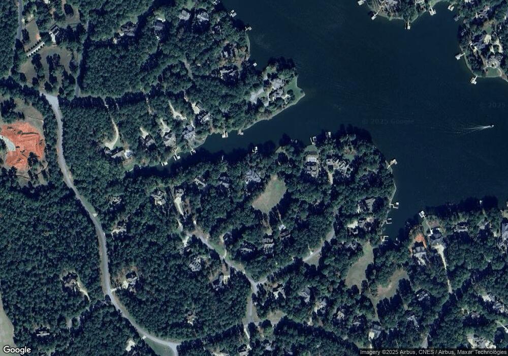
Map
Nearby Homes
- 1070 & 1080 Cotton Gin Rd
- 1020 Troublesome Creek Ln
- 1000 Troublesome Creek Ln
- 1330 Parrott Trace
- 1040 Parrotts Cove Rd
- 1041 Parrotts Cove Rd
- 1010 Monfort Ct
- 1020 Monfort Ct
- 1831 Parrotts Pointe Rd
- 1241 Parrott Trace
- 1551 Jackson Ridge Rd
- 2071 Flemings Knoll
- 1020 Davison Ln
- 1321 Jackson Ridge Rd
- 1070 Prosperity Point
- 1070 Prosperity Pointe
- 1090 Henrys Hill
- 2701 Parrotts Pointe Rd
- 1021 Troublesome Creek Ln
- 1031 Troublesome Creek Ln
- 1041 Troublesome Creek Ln
- 1070 Cotton Gin Rd
- 1050 Cotton Gin Rd
- 1011 Troublesome Creek Ln
- 1060 Cotton Gin Rd
- 1030 Cotton Gin Rd
- 1040 Cotton Gin Rd
- 1361 Parrott Trace
- 1051 Troublesome Creek Ln Unit 111
- 1051 Troublesome Creek Ln
- 1001 Troublesome Creek Ln
- 1030 Cottonwood Dr
- 1341 Parrott Trace
- 1351 Parrott Trace
- 1080 Cotton Gin Rd
- 1331 Parrott Trace
- 1371 Parrott Trace
- 0 Cottongin Rd Unit 7478339