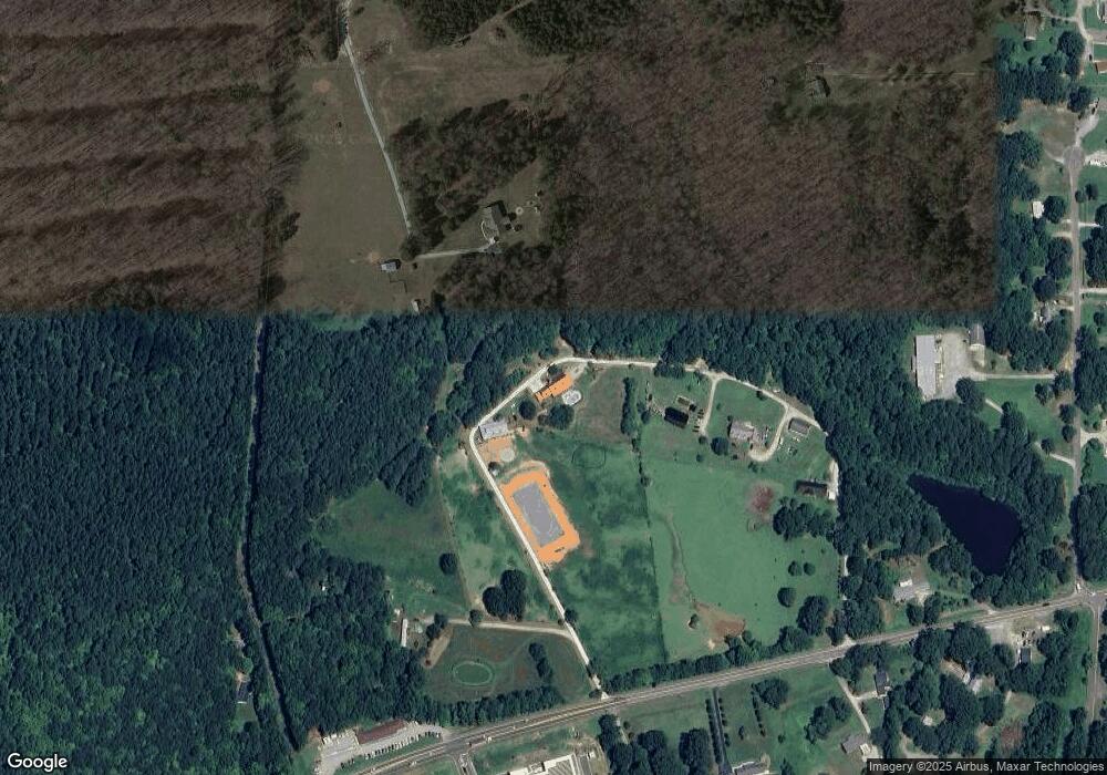
1021 Us Highway 70 W Hillsborough, NC 27278
Estimated Value: $706,000 - $885,398
3
Beds
3
Baths
2,816
Sq Ft
$280/Sq Ft
Est. Value
About This Home
This home is located at 1021 Us Highway 70 W, Hillsborough, NC 27278 and is currently estimated at $788,100, approximately $279 per square foot. 1021 Us Highway 70 W is a home with nearby schools including Central Elementary School, Orange Middle School, and The Expedition School.
Ownership History
Date
Name
Owned For
Owner Type
Purchase Details
Closed on
Aug 30, 2007
Sold by
Hall Mark A and Hall Lisa C
Bought by
Oneal David A and Oneal Michelle R
Current Estimated Value
Home Financials for this Owner
Home Financials are based on the most recent Mortgage that was taken out on this home.
Original Mortgage
$294,000
Outstanding Balance
$185,765
Interest Rate
6.62%
Mortgage Type
Purchase Money Mortgage
Estimated Equity
$602,335
Create a Home Valuation Report for This Property
The Home Valuation Report is an in-depth analysis detailing your home's value as well as a comparison with similar homes in the area
Home Values in the Area
Average Home Value in this Area
Purchase History
| Date | Buyer | Sale Price | Title Company |
|---|---|---|---|
| Oneal David A | $387,000 | None Available |
Source: Public Records
Mortgage History
| Date | Status | Borrower | Loan Amount |
|---|---|---|---|
| Open | Oneal David A | $294,000 |
Source: Public Records
Tax History Compared to Growth
Tax History
| Year | Tax Paid | Tax Assessment Tax Assessment Total Assessment is a certain percentage of the fair market value that is determined by local assessors to be the total taxable value of land and additions on the property. | Land | Improvement |
|---|---|---|---|---|
| 2025 | $4,123 | $707,100 | $184,800 | $522,300 |
| 2024 | $3,833 | $479,400 | $124,800 | $354,600 |
| 2023 | $3,695 | $479,400 | $124,800 | $354,600 |
| 2022 | $3,641 | $479,400 | $124,800 | $354,600 |
| 2021 | $3,594 | $479,400 | $124,800 | $354,600 |
| 2020 | $3,494 | $442,700 | $116,000 | $326,700 |
| 2018 | $3,412 | $348,190 | $21,490 | $326,700 |
| 2017 | $3,590 | $348,190 | $21,490 | $326,700 |
| 2016 | $3,590 | $413,390 | $69,290 | $344,100 |
| 2015 | $3,590 | $413,390 | $69,290 | $344,100 |
| 2014 | $3,534 | $413,390 | $69,290 | $344,100 |
Source: Public Records
Map
Nearby Homes
- 224 Holiday Park Rd
- 219 Daye St
- 105 Sherwood Ln
- 106 Sherwood Ln
- 210 Faucette Mill Rd
- 511 Revere Rd
- 160 Daphine Dr
- 0 Mirandy Ave
- 600 Harper Rd
- 548 Riddle Ave
- 170 Torain St
- 158 Torain St
- 101 Jones Ave
- 109 Jones Ave
- 320 W Orange St
- 125 N Nash St
- 125 Barracks Rd Unit GOV
- 113 Collins Ave
- 2340 Turner St
- 209 N Occoneechee St
- 1019 Us Highway 70 W
- 1015 Us Highway 70 W
- 701 Broken J Place
- 1009 Us Highway 70 W
- 1109 Us Highway 70 W
- 1000 Isaac Henderson Dr
- 771 Cornelius St
- 1219 U S 70
- 1000 Us Highway 70 W
- 1014 Us Highway 70 W
- 1008 Us Highway 70 W
- 1219 Us Highway 70 W
- 204 Holiday Park Rd
- 208 Holiday Park Rd Unit HH
- 216 Holiday Park Rd
- 677 Combs Cir
- 1200 Us Highway 70 W
- 3 Isaac Henderson Dr
- 102 Holiday Park Rd
- 1313 Cornelius St
