1021 W Fox Run Ave Unit 50 Santaquin, UT 84655
Estimated Value: $365,000 - $375,501
3
Beds
3
Baths
2,187
Sq Ft
$170/Sq Ft
Est. Value
About This Home
This home is located at 1021 W Fox Run Ave Unit 50, Santaquin, UT 84655 and is currently estimated at $371,375, approximately $169 per square foot. 1021 W Fox Run Ave Unit 50 is a home located in Utah County with nearby schools including Santaquin Elementary School, Payson Junior High School, and Mt. Nebo Middle.
Ownership History
Date
Name
Owned For
Owner Type
Purchase Details
Closed on
Apr 4, 2025
Sold by
Reeves David William
Bought by
Corona Maria Berenice and Mireles Galilea
Current Estimated Value
Home Financials for this Owner
Home Financials are based on the most recent Mortgage that was taken out on this home.
Original Mortgage
$370,662
Outstanding Balance
$368,757
Interest Rate
6.85%
Mortgage Type
FHA
Estimated Equity
$2,618
Purchase Details
Closed on
Nov 1, 2021
Sold by
D R Horton Inc
Bought by
Reeves David William
Home Financials for this Owner
Home Financials are based on the most recent Mortgage that was taken out on this home.
Original Mortgage
$345,985
Interest Rate
2.99%
Mortgage Type
New Conventional
Create a Home Valuation Report for This Property
The Home Valuation Report is an in-depth analysis detailing your home's value as well as a comparison with similar homes in the area
Home Values in the Area
Average Home Value in this Area
Purchase History
| Date | Buyer | Sale Price | Title Company |
|---|---|---|---|
| Corona Maria Berenice | -- | Juab Title & Abstract | |
| Reeves David William | -- | Cottonwood Ttl Ins Agcy Inc |
Source: Public Records
Mortgage History
| Date | Status | Borrower | Loan Amount |
|---|---|---|---|
| Open | Corona Maria Berenice | $370,662 | |
| Closed | Corona Maria Berenice | $22,239 | |
| Previous Owner | Reeves David William | $345,985 |
Source: Public Records
Tax History Compared to Growth
Tax History
| Year | Tax Paid | Tax Assessment Tax Assessment Total Assessment is a certain percentage of the fair market value that is determined by local assessors to be the total taxable value of land and additions on the property. | Land | Improvement |
|---|---|---|---|---|
| 2025 | $1,985 | $196,240 | $52,400 | $304,400 |
| 2024 | $1,985 | $197,670 | $0 | $0 |
| 2023 | $1,810 | $180,785 | $0 | $0 |
| 2022 | $1,885 | $194,260 | $0 | $0 |
| 2021 | $455 | $40,000 | $40,000 | $0 |
Source: Public Records
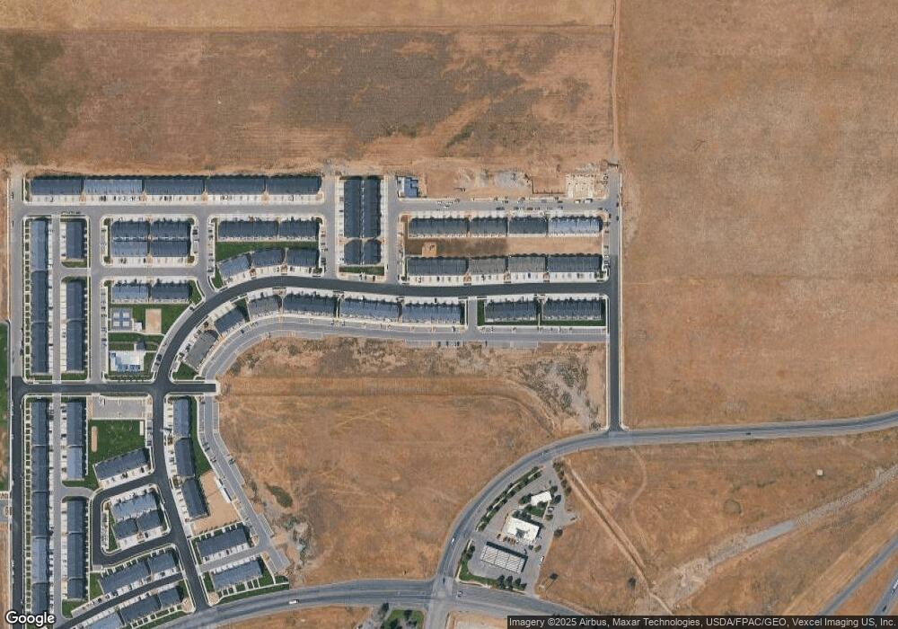
Map
Nearby Homes
- 1375 Oakdale Dr
- 1206 Summit Ridge Pkwy Unit 182
- 1202 W Hidden Spring Dr
- 1287 Cedar Pass Dr Unit 113
- 1252 S Raintree Ln
- 1126 Valley View Dr
- 1698 S Freestone Blvd
- 1273 S Westwood Way
- 1123 Red Cliff Dr
- 633 Little Rock Dr
- 1186 S Vista Ridge Dr
- 1263 Crest Dale Ln
- 653 Stonebrook Ln
- 1308 S Raintree Ln
- 1022 Vista Ridge Dr Unit 149
- 926 S Tanner Rd
- 1816 S Freestone Blvd
- 1341 W View Dr
- 1696 S Longview Rd
- 1353 W View Dr
- 1025 W Fox Run Ave
- 1025 W Fox Run Ave Unit 49
- 1017 W Fox Run Ave
- 1029 W Fox Run Ave Unit 48
- 1033 W Fox Run Ave Unit 47
- 1037 W Fox Run Ave Unit 46
- 1041 W Fox Run Ave Unit 45
- 999 W Fox Run Ave Unit 52
- 1045 W Fox Run Ave
- 1045 W Fox Run Ave Unit 44
- 1022 W Fox Run Ave Unit 86
- 1026 W Fox Run Ave Unit 87
- 1018 W Fox Run Ave Unit 85
- 995 W Fox Run Ave Unit 53
- 1030 W Fox Run Ave Unit 88
- 1014 W Fox Run Ave Unit 84
- 1034 W Fox Run Ave Unit 89
- 1010 W Fox Run Ave Unit 83
- 991 W Fox Run Ave Unit 54
- 1053 W Fox Run Ave Unit 43