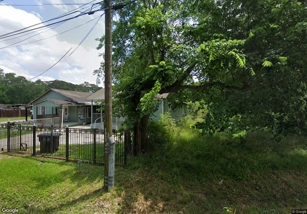
10210 Allwood St Houston, TX 77016
East Little York NeighborhoodEstimated Value: $191,000 - $204,798
5
Beds
2
Baths
2,766
Sq Ft
$72/Sq Ft
Est. Value
About This Home
This home is located at 10210 Allwood St, Houston, TX 77016 and is currently estimated at $198,950, approximately $71 per square foot. 10210 Allwood St is a home located in Harris County with nearby schools including Shadydale Elementary School, Forest Brook Middle, and North Forest High School.
Ownership History
Date
Name
Owned For
Owner Type
Purchase Details
Closed on
Mar 14, 2014
Sold by
Vega Frank
Bought by
Lopez Leonardo
Current Estimated Value
Purchase Details
Closed on
Mar 7, 2014
Sold by
Pfirman Richard L
Bought by
Vega Frank and Lopez Leonardo
Purchase Details
Closed on
Aug 28, 2001
Sold by
Wells Fargo Bank Of Minnesota Na
Bought by
Pfirman Richard L
Purchase Details
Closed on
May 1, 2001
Sold by
Mays Ernest L
Bought by
Wells Fargo Bank Minnesota Na and Ameriquest Mtg Securities Inc Floating R
Create a Home Valuation Report for This Property
The Home Valuation Report is an in-depth analysis detailing your home's value as well as a comparison with similar homes in the area
Home Values in the Area
Average Home Value in this Area
Purchase History
| Date | Buyer | Sale Price | Title Company |
|---|---|---|---|
| Lopez Leonardo | -- | None Available | |
| Vega Frank | -- | None Available | |
| Pfirman Richard L | -- | American Title Co | |
| Wells Fargo Bank Minnesota Na | $34,000 | -- |
Source: Public Records
Tax History Compared to Growth
Tax History
| Year | Tax Paid | Tax Assessment Tax Assessment Total Assessment is a certain percentage of the fair market value that is determined by local assessors to be the total taxable value of land and additions on the property. | Land | Improvement |
|---|---|---|---|---|
| 2025 | $2,596 | $223,616 | $110,244 | $113,372 |
| 2024 | $2,596 | $206,170 | $96,019 | $110,151 |
| 2023 | $2,596 | $185,954 | $60,456 | $125,498 |
| 2022 | $3,046 | $162,834 | $60,456 | $102,378 |
| 2021 | $2,652 | $128,705 | $42,675 | $86,030 |
| 2020 | $2,328 | $106,758 | $42,675 | $64,083 |
| 2019 | $2,080 | $87,982 | $29,873 | $58,109 |
| 2018 | $1,819 | $71,898 | $24,894 | $47,004 |
| 2017 | $1,818 | $71,898 | $24,894 | $47,004 |
| 2016 | $1,566 | $61,940 | $14,936 | $47,004 |
| 2015 | $1,001 | $38,934 | $8,321 | $30,613 |
| 2014 | $1,001 | $38,934 | $8,321 | $30,613 |
Source: Public Records
Map
Nearby Homes
- 5621 Haywood St
- 5914 Breland St
- 5418 Parker Rd
- 5203 Mayle St
- 5125 Mayle St
- 6001 Bretshire Dr
- 9838 Camay Dr
- 5413 Glen Nook Dr
- 9711 Bertwood St
- 10221 Bretton Dr
- 5713 Rietta St
- 5715 Rietta St
- 5123 Francine Ln
- 9603 Bertwood St
- 5130 Farb Dr
- 7902 S Lockwood Dr
- 0 Haywood St Unit 63273227
- 5022 Bretshire Dr
- 6206 Antha St
- 4708 Antha St