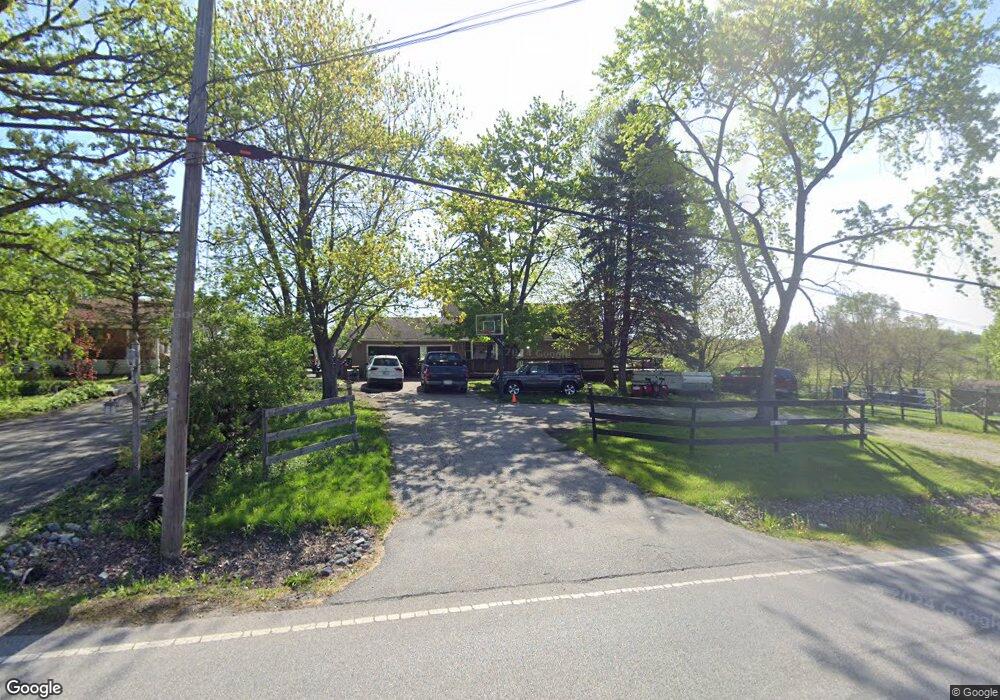
10211 Clark Rd Crown Point, IN 46307
Estimated Value: $240,000 - $315,000
2
Beds
2
Baths
2,240
Sq Ft
$130/Sq Ft
Est. Value
About This Home
This home is located at 10211 Clark Rd, Crown Point, IN 46307 and is currently estimated at $291,839, approximately $130 per square foot. 10211 Clark Rd is a home located in Lake County with nearby schools including Timothy Ball Elementary School, Robert Taft Middle School, and Crown Point High School.
Ownership History
Date
Name
Owned For
Owner Type
Purchase Details
Closed on
Feb 12, 2016
Sold by
Shutske Joseph B
Bought by
Burditt Ndai N and Shutske Ndia N
Current Estimated Value
Purchase Details
Closed on
May 14, 2010
Sold by
Pavlik Doris M
Bought by
Shutske Joseph B and Shutske Nadia N
Home Financials for this Owner
Home Financials are based on the most recent Mortgage that was taken out on this home.
Original Mortgage
$120,000
Interest Rate
5.14%
Mortgage Type
New Conventional
Create a Home Valuation Report for This Property
The Home Valuation Report is an in-depth analysis detailing your home's value as well as a comparison with similar homes in the area
Home Values in the Area
Average Home Value in this Area
Purchase History
| Date | Buyer | Sale Price | Title Company |
|---|---|---|---|
| Burditt Ndai N | -- | Meridian Title Corp | |
| Shutske Joseph B | -- | Ticor Title Insurance Co |
Source: Public Records
Mortgage History
| Date | Status | Borrower | Loan Amount |
|---|---|---|---|
| Previous Owner | Shutske Joseph B | $120,000 |
Source: Public Records
Tax History Compared to Growth
Tax History
| Year | Tax Paid | Tax Assessment Tax Assessment Total Assessment is a certain percentage of the fair market value that is determined by local assessors to be the total taxable value of land and additions on the property. | Land | Improvement |
|---|---|---|---|---|
| 2024 | $4,563 | $224,600 | $36,500 | $188,100 |
| 2023 | $1,946 | $214,700 | $36,500 | $178,200 |
| 2022 | $1,946 | $205,400 | $36,500 | $168,900 |
| 2021 | $1,781 | $198,800 | $36,500 | $162,300 |
| 2020 | $1,774 | $190,100 | $36,500 | $153,600 |
| 2019 | $1,808 | $185,300 | $36,500 | $148,800 |
| 2018 | $1,834 | $179,500 | $36,500 | $143,000 |
| 2017 | $1,744 | $171,000 | $36,500 | $134,500 |
| 2016 | $1,693 | $171,000 | $36,500 | $134,500 |
| 2014 | $1,508 | $168,600 | $36,500 | $132,100 |
| 2013 | $1,516 | $169,200 | $36,500 | $132,700 |
Source: Public Records
Map
Nearby Homes
- 1667 Chalone Ct
- 3725 W 105th Ave
- 3604 W 104th Place
- 10710 Porter St
- 5496 W 107th Ct
- 7830 W 106th Ln
- 7770 W 106th Ln
- 10729 Hanley St
- 10813 Lane St
- 771 Kenmare Pkwy
- 767 Kenmare Pkwy
- 700 Meadow Ln
- 841 Veterans Ln
- 515 Holley Dr
- 621 Pratt St
- 221 Cedar St
- 340 Cochran Dr
- 222 Maple St
- 9251 Clark Place
- 312 Summit Park Ct S
- 10207 Clark Rd
- 10129 Clark Rd
- 10219 Clark Rd
- 10216 Clark Rd
- 10208 Clark Rd
- 10125 Clark Rd
- 10204 Clark Rd
- 10128 Clark Rd
- 10124 Clark Rd
- 10111 Clark Rd
- 10120 Clark Rd
- 1313 Byington Ct
- 1315 Byington Ct
- 10121 Clark Rd
- 1323 Byington Ct
- 1305 Byington Ct
- 1325 Byington Ct
- 1090 Sterling Ct
- 10122 Clark Rd
- 10116 Clark Rd