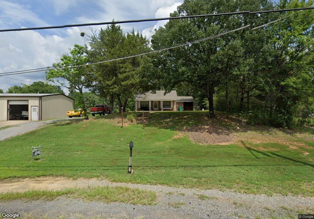
10212 Mac Arthur Dr North Little Rock, AR 72118
Estimated Value: $183,000 - $223,000
--
Bed
--
Bath
1,833
Sq Ft
$106/Sq Ft
Est. Value
About This Home
This home is located at 10212 Mac Arthur Dr, North Little Rock, AR 72118 and is currently estimated at $194,461, approximately $106 per square foot. 10212 Mac Arthur Dr is a home with nearby schools including Oak Grove Elementary School, Maumelle Middle School, and Maumelle High School.
Ownership History
Date
Name
Owned For
Owner Type
Purchase Details
Closed on
Oct 26, 1999
Sold by
Digiovanna Larry J and Digiovanna Yvonne D
Bought by
Mcpeak Shelby G and Mcpeak Lisa K
Current Estimated Value
Home Financials for this Owner
Home Financials are based on the most recent Mortgage that was taken out on this home.
Original Mortgage
$70,399
Outstanding Balance
$21,159
Interest Rate
7.77%
Mortgage Type
FHA
Estimated Equity
$173,302
Create a Home Valuation Report for This Property
The Home Valuation Report is an in-depth analysis detailing your home's value as well as a comparison with similar homes in the area
Home Values in the Area
Average Home Value in this Area
Purchase History
| Date | Buyer | Sale Price | Title Company |
|---|---|---|---|
| Mcpeak Shelby G | $71,000 | Stewart Title |
Source: Public Records
Mortgage History
| Date | Status | Borrower | Loan Amount |
|---|---|---|---|
| Open | Mcpeak Shelby G | $70,399 |
Source: Public Records
Tax History Compared to Growth
Tax History
| Year | Tax Paid | Tax Assessment Tax Assessment Total Assessment is a certain percentage of the fair market value that is determined by local assessors to be the total taxable value of land and additions on the property. | Land | Improvement |
|---|---|---|---|---|
| 2025 | $1,306 | $32,716 | $7,878 | $24,838 |
| 2024 | $1,197 | $32,716 | $7,878 | $24,838 |
| 2023 | $1,197 | $32,716 | $7,878 | $24,838 |
| 2022 | $1,293 | $32,716 | $7,878 | $24,838 |
| 2021 | $1,214 | $21,430 | $3,030 | $18,400 |
| 2020 | $839 | $21,430 | $3,030 | $18,400 |
| 2019 | $839 | $21,430 | $3,030 | $18,400 |
| 2018 | $864 | $21,430 | $3,030 | $18,400 |
| 2017 | $839 | $21,430 | $3,030 | $18,400 |
| 2016 | $882 | $21,080 | $800 | $20,280 |
| 2015 | $1,071 | $21,080 | $800 | $20,280 |
| 2014 | $1,071 | $21,080 | $800 | $20,280 |
Source: Public Records
Map
Nearby Homes
- 8016 Highway 365
- 7932 Macarthur Dr
- 0 Macarthur Unit 25004179
- 00 Trapp Rd
- 5503 Taril Ln
- 5901 Kelly Rd
- 5119 Vaughn Rd
- 4901 Vaughn Rd
- 7417 Service Rd
- 0 Westwind Dr Unit 25030537
- 6824 Drew Ln
- 30 Silver Ridge Cove
- 7213 Westwind Dr
- 29 Prospect Trail
- 7423 Service Rd
- 5517 McMurtrey Dr
- 00 Interstate 40
- 95 Prospect Trail
- 0 Rivermist Pointe Dr Unit 23019601
- 62 Lucia Ln
- 5420 Trapp Rd
- 7923 Macarthur Dr
- 00 Macarthur Dr
- 12469 Macarthur Dr
- 9807 & 9809 Macarthur Dr
- 18811 Macarthur Dr
- 172509 Macarthur Dr
- 5416 Trapp Rd
- 10302 Mac Arthur Dr
- 8824 Daniel Rd
- 10306 Mac Arthur Dr
- 10312 Mac Arthur Dr
- N Highway 365
- 5404 Trapp Rd
- 10008 Macarthur Dr
- meet & Bounds
- & Bounds
- 10008 Mac Arthur Dr
- 6004 Hudman Rd
- 10502 Mac Arthur Dr