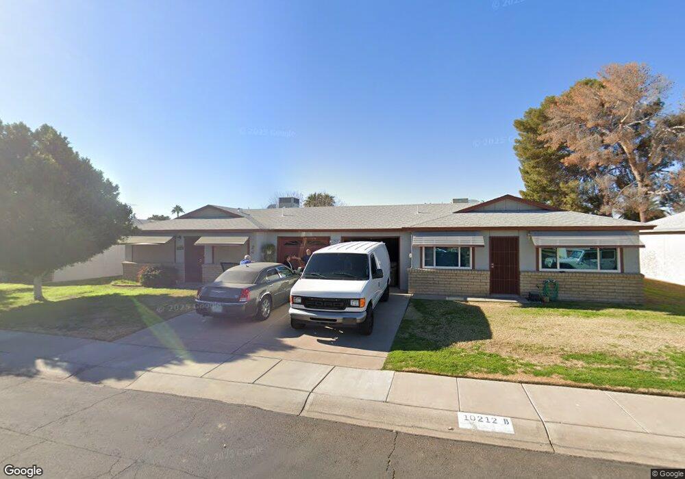
10212 N 97th Ave Unit A Peoria, AZ 85345
Estimated Value: $186,979 - $230,000
--
Bed
2
Baths
1,025
Sq Ft
$203/Sq Ft
Est. Value
About This Home
This home is located at 10212 N 97th Ave Unit A, Peoria, AZ 85345 and is currently estimated at $208,495, approximately $203 per square foot. 10212 N 97th Ave Unit A is a home located in Maricopa County with nearby schools including Sun Valley Elementary School, Raymond S. Kellis, and Ombudsman - Northwest Charter.
Ownership History
Date
Name
Owned For
Owner Type
Purchase Details
Closed on
May 6, 2004
Sold by
Jeademann Sandra J
Bought by
Tafolla Carol P
Current Estimated Value
Home Financials for this Owner
Home Financials are based on the most recent Mortgage that was taken out on this home.
Original Mortgage
$57,600
Outstanding Balance
$27,688
Interest Rate
5.86%
Mortgage Type
New Conventional
Estimated Equity
$180,807
Purchase Details
Closed on
Feb 28, 2000
Sold by
Nelson John David
Bought by
Jeademann Sandra J
Home Financials for this Owner
Home Financials are based on the most recent Mortgage that was taken out on this home.
Original Mortgage
$62,500
Interest Rate
10.99%
Mortgage Type
New Conventional
Create a Home Valuation Report for This Property
The Home Valuation Report is an in-depth analysis detailing your home's value as well as a comparison with similar homes in the area
Home Values in the Area
Average Home Value in this Area
Purchase History
| Date | Buyer | Sale Price | Title Company |
|---|---|---|---|
| Tafolla Carol P | $72,000 | Transnation Title Insurance | |
| Jeademann Sandra J | $62,500 | Capital Title Agency |
Source: Public Records
Mortgage History
| Date | Status | Borrower | Loan Amount |
|---|---|---|---|
| Open | Tafolla Carol P | $57,600 | |
| Previous Owner | Jeademann Sandra J | $62,500 | |
| Closed | Tafolla Carol P | $14,400 |
Source: Public Records
Tax History Compared to Growth
Tax History
| Year | Tax Paid | Tax Assessment Tax Assessment Total Assessment is a certain percentage of the fair market value that is determined by local assessors to be the total taxable value of land and additions on the property. | Land | Improvement |
|---|---|---|---|---|
| 2025 | $447 | $5,738 | -- | -- |
| 2024 | $440 | $5,465 | -- | -- |
| 2023 | $440 | $16,410 | $3,280 | $13,130 |
| 2022 | $431 | $12,530 | $2,500 | $10,030 |
| 2021 | $461 | $10,880 | $2,170 | $8,710 |
| 2020 | $466 | $10,070 | $2,010 | $8,060 |
| 2019 | $450 | $8,930 | $1,780 | $7,150 |
| 2018 | $436 | $7,130 | $1,420 | $5,710 |
| 2017 | $436 | $5,850 | $1,170 | $4,680 |
| 2016 | $431 | $5,310 | $1,060 | $4,250 |
| 2015 | $403 | $5,280 | $1,050 | $4,230 |
Source: Public Records
Map
Nearby Homes
- 10134 N 97th Ave Unit B
- 10127 N 95th Dr Unit A
- 9627 W North Ln Unit B
- 10018 N 97th Dr Unit A
- 10226 N 93rd Dr
- 9616 W Mountain View Rd Unit A
- 10245 N 93rd Dr
- 9564 W Purdue Ave
- 10201 N 99th Ave Unit 32A
- 10201 N 99th Ave Unit 46
- 10201 N 99th Ave Unit 44
- 10201 N 99th Ave Unit 97
- 10201 N 99th Ave Unit 34
- 10201 N 99th Ave Unit 28A
- 10201 N 99th Ave Unit 49
- 10201 N 99th Ave Unit 129E
- 10201 N 99th Ave Unit 135F
- 10201 N 99th Ave Unit 3
- 10201 N 99th Ave Unit 160
- 10201 N 99th Ave Unit 149
- 10212 N 97th Ave
- 10212 N 97th Ave Unit B
- 10220 N 97th Ave Unit B
- 10220 N 97th Ave Unit A
- 10204 N 97th Ave Unit B
- 10204 N 97th Ave Unit B
- 10204 N 97th Ave Unit A
- 10225 N 97th Dr Unit A
- 10225 N 97th Dr Unit B
- 10217 N 97th Dr Unit A
- 10217 N 97th Dr Unit B
- 10217 N 97th Dr
- 10209 N 97th Ave Unit B
- 10217 N 97th Ave Unit A
- 10209 N 97th Dr Unit B
- 10209 N 97th Dr Unit A
- 10228 N 97th Ave Unit B
- 10201 N 97th Ave Unit A
- 10200 N 96th Ave Unit B
- 10200 N 96th Ave Unit A