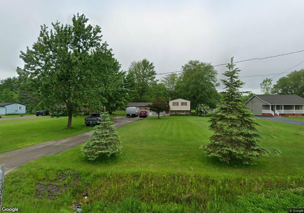
10212 Stanley Rd Flushing, MI 48433
Estimated Value: $186,000 - $231,000
Studio
--
Bath
1,384
Sq Ft
$156/Sq Ft
Est. Value
About This Home
This home is located at 10212 Stanley Rd, Flushing, MI 48433 and is currently estimated at $215,647, approximately $155 per square foot. 10212 Stanley Rd is a home located in Genesee County with nearby schools including Elms Elementary School, Flushing Middle School, and Flushing High School.
Ownership History
Date
Name
Owned For
Owner Type
Purchase Details
Closed on
Nov 13, 2003
Sold by
Ross Frank W and Ross Dorothy J
Bought by
Hatfield Danny
Current Estimated Value
Purchase Details
Closed on
Oct 17, 2003
Sold by
Blower Kevin A and Blower Edna J
Bought by
Ross Frank W and Ross Dorothy J
Purchase Details
Closed on
Apr 22, 2003
Sold by
Ross Frank W and Ross Dorothy J
Bought by
Ross Frank W and Ross Dorothy J
Purchase Details
Closed on
Sep 28, 1999
Sold by
Gonsler Douglas P and Gonsler Ann M
Bought by
Ross Frank W and Ross Dorothy J
Create a Home Valuation Report for This Property
The Home Valuation Report is an in-depth analysis detailing your home's value as well as a comparison with similar homes in the area
Home Values in the Area
Average Home Value in this Area
Purchase History
| Date | Buyer | Sale Price | Title Company |
|---|---|---|---|
| Hatfield Danny | $126,000 | Sargents Title Company | |
| Ross Frank W | -- | Sargents Title Company | |
| Ross Frank W | -- | -- | |
| Ross Frank W | $102,450 | Lawyers Title Insurance Corp |
Source: Public Records
Tax History
| Year | Tax Paid | Tax Assessment Tax Assessment Total Assessment is a certain percentage of the fair market value that is determined by local assessors to be the total taxable value of land and additions on the property. | Land | Improvement |
|---|---|---|---|---|
| 2025 | $2,227 | $97,700 | $0 | $0 |
| 2024 | $1,174 | $94,400 | $0 | $0 |
| 2023 | $1,724 | $87,900 | $0 | $0 |
| 2022 | $2,364 | $78,500 | $0 | $0 |
| 2021 | $2,442 | $74,400 | $0 | $0 |
| 2020 | $1,297 | $70,800 | $0 | $0 |
| 2019 | $1,031 | $65,000 | $0 | $0 |
| 2018 | $1,833 | $55,800 | $0 | $0 |
| 2017 | $1,057 | $55,800 | $0 | $0 |
| 2016 | $2,048 | $53,400 | $0 | $0 |
| 2015 | $1,537 | $52,000 | $0 | $0 |
| 2014 | $898 | $49,900 | $0 | $0 |
| 2012 | -- | $47,400 | $47,400 | $0 |
Source: Public Records
Map
Nearby Homes
- 11186 W Stanley Rd
- 9207 N Island Ct Unit 12
- 8073 Nichols Rd
- 271 Lovell Ct
- 255 Grissom Ct
- 0 N Island Dr Unit 20230029447
- 6355 N Mckinley Rd
- 9031 N Island Dr Unit 29
- 6058 N Mckinley Rd
- 5315 Chickasaw Trail
- Vacant Land Rd
- Vacant Land Rd
- Vacant Land Rd
- 8522 Tim Tam Trail
- 8548 Tim Tam Trail
- 10101 Carpenter Rd
- 8454 Wesley Dr
- 8520 Apple Blossom Ln
- 11358 W Carpenter Rd Rd
- 8506 Duffield Rd
- 10200 Stanley Rd
- 10222 Stanley Rd
- 10200 W Stanley Rd
- 10232 Stanley Rd
- 10184 Stanley Rd
- 10244 Stanley Rd
- 10209 Stanley Rd
- 10231 W Stanley Rd
- 10219 Stanley Rd
- 10195 Stanley Rd
- 10166 Stanley Rd
- 10231 Stanley Rd
- 10166 W Stanley Rd
- 10256 Stanley Rd
- 10256 W Stanley Rd
- 10237 Stanley Rd
- 10175 Stanley Rd
- 10156 Stanley Rd
- 10156 W Stanley Rd
- 10157 Stanley Rd
Your Personal Tour Guide
Ask me questions while you tour the home.