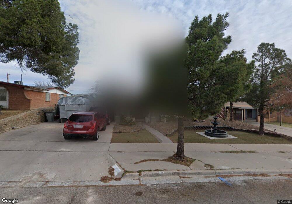
10213 Maxwood Dr El Paso, TX 79925
Eastwood NeighborhoodEstimated Value: $208,000 - $242,000
--
Bed
2
Baths
1,437
Sq Ft
$154/Sq Ft
Est. Value
About This Home
This home is located at 10213 Maxwood Dr, El Paso, TX 79925 and is currently estimated at $221,756, approximately $154 per square foot. 10213 Maxwood Dr is a home located in El Paso County with nearby schools including East Point Elementary School, Eastwood Middle School, and Eastwood High School.
Ownership History
Date
Name
Owned For
Owner Type
Purchase Details
Closed on
Nov 6, 2007
Sold by
Sierra Hector
Bought by
Sierra Norma P
Current Estimated Value
Purchase Details
Closed on
Sep 8, 1995
Sold by
Hud
Bought by
Sierra Hector and Sierra Norma P
Home Financials for this Owner
Home Financials are based on the most recent Mortgage that was taken out on this home.
Original Mortgage
$71,319
Interest Rate
7.77%
Mortgage Type
FHA
Purchase Details
Closed on
Jun 19, 1995
Sold by
Chase Manhattan Mtg Corp
Bought by
Hud
Purchase Details
Closed on
Apr 4, 1995
Sold by
Marton Leila A and Rocky Mountain Mtg Company
Bought by
Chase Manhattan Mtg Corp
Create a Home Valuation Report for This Property
The Home Valuation Report is an in-depth analysis detailing your home's value as well as a comparison with similar homes in the area
Home Values in the Area
Average Home Value in this Area
Purchase History
| Date | Buyer | Sale Price | Title Company |
|---|---|---|---|
| Sierra Norma P | -- | Lone Star Title Vista | |
| Sierra Hector | $71,950 | -- | |
| Hud | -- | -- | |
| Chase Manhattan Mtg Corp | $60,699 | -- |
Source: Public Records
Mortgage History
| Date | Status | Borrower | Loan Amount |
|---|---|---|---|
| Previous Owner | Sierra Hector | $71,319 |
Source: Public Records
Tax History Compared to Growth
Tax History
| Year | Tax Paid | Tax Assessment Tax Assessment Total Assessment is a certain percentage of the fair market value that is determined by local assessors to be the total taxable value of land and additions on the property. | Land | Improvement |
|---|---|---|---|---|
| 2025 | $3,349 | $204,494 | -- | -- |
| 2024 | $3,349 | $185,904 | -- | -- |
| 2023 | $3,349 | $169,004 | $0 | $0 |
| 2022 | $4,771 | $153,640 | $0 | $0 |
| 2021 | $4,540 | $139,673 | $25,392 | $114,281 |
| 2020 | $4,416 | $139,815 | $19,532 | $120,283 |
| 2018 | $4,313 | $138,701 | $19,532 | $119,169 |
| 2017 | $3,905 | $127,745 | $19,532 | $108,213 |
| 2016 | $3,766 | $123,188 | $19,532 | $103,656 |
| 2015 | $3,156 | $123,188 | $19,532 | $103,656 |
| 2014 | $3,156 | $132,005 | $19,532 | $112,473 |
Source: Public Records
Map
Nearby Homes
- 10145 Camwood Dr
- 10309 Woodruff Ct
- 10304 Woodruff Ct
- 2412 Penwood Dr
- 10145 Singapore Ave
- 10140 Suez Dr
- 9917 Honolulu Dr
- 10233 Byway Dr
- 10313 Byway Dr
- 10512 Album Ave
- 3000 Woodall St
- 2701 Brady Place
- 2801 Brady Place
- 2912 Chaswood St
- 2224 Escarpa Dr
- 10304 Blackwood Ave
- 1909 Crow Dr
- 2105 Pacheco Dr
- 10301 Bayo Ave
- 2705 Fierro Dr
- 10217 Maxwood Dr
- 10209 Maxwood Dr
- 10212 Honolulu Dr
- 10216 Honolulu Dr
- 10221 Maxwood Dr
- 10205 Maxwood Dr
- 10218 Honolulu Dr
- 10212 Maxwood Dr
- 10216 Maxwood Dr
- 10208 Maxwood Dr
- 10220 Honolulu Dr
- 10225 Maxwood Dr
- 10220 Maxwood Dr
- 10204 Maxwood Dr
- 10224 Honolulu Dr
- 10224 Maxwood Dr
- 10213 Ashwood Dr
- 10217 Ashwood Dr
- 10217 Ashwood Dr Unit 1
- 10209 Ashwood Dr