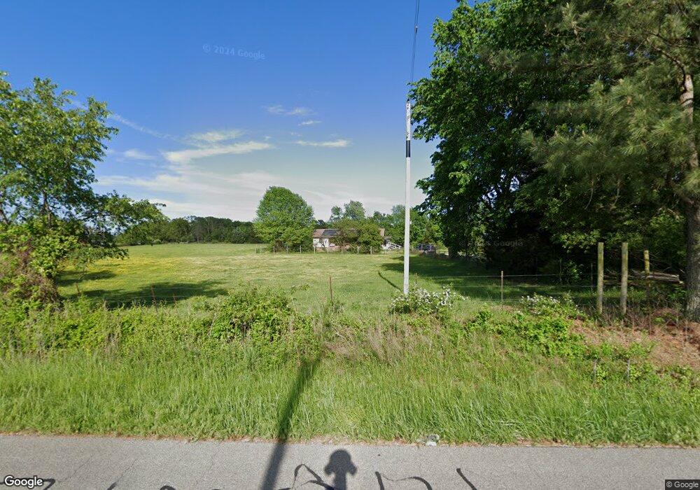
10214 Wpa Rd Gentry, AR 72734
Estimated Value: $368,139 - $392,000
--
Bed
2
Baths
1,568
Sq Ft
$243/Sq Ft
Est. Value
About This Home
This home is located at 10214 Wpa Rd, Gentry, AR 72734 and is currently estimated at $380,535, approximately $242 per square foot. 10214 Wpa Rd is a home located in Benton County with nearby schools including Gentry Intermediate School, Gentry Primary School, and Gentry Middle School.
Ownership History
Date
Name
Owned For
Owner Type
Purchase Details
Closed on
May 24, 2021
Sold by
Holman Larry J and Holman Judith F
Bought by
Holman Family Trust and Holman
Current Estimated Value
Purchase Details
Closed on
Dec 31, 2008
Sold by
Holman Larry J and Holman Judith F
Bought by
Holman Larry J and Holman Judith F
Purchase Details
Closed on
Oct 11, 1984
Bought by
Holman
Purchase Details
Closed on
Oct 7, 1975
Bought by
Holman
Create a Home Valuation Report for This Property
The Home Valuation Report is an in-depth analysis detailing your home's value as well as a comparison with similar homes in the area
Home Values in the Area
Average Home Value in this Area
Purchase History
| Date | Buyer | Sale Price | Title Company |
|---|---|---|---|
| Holman Family Trust | -- | None Listed On Document | |
| Holman Larry J | -- | Stewart Title Of Arkansas | |
| Holman | -- | -- | |
| Holman | $27,000 | -- |
Source: Public Records
Tax History Compared to Growth
Tax History
| Year | Tax Paid | Tax Assessment Tax Assessment Total Assessment is a certain percentage of the fair market value that is determined by local assessors to be the total taxable value of land and additions on the property. | Land | Improvement |
|---|---|---|---|---|
| 2025 | $939 | $42,038 | $8,682 | $33,356 |
| 2024 | $917 | $42,038 | $8,682 | $33,356 |
| 2023 | $915 | $28,490 | $3,050 | $25,440 |
| 2022 | $598 | $28,490 | $3,050 | $25,440 |
| 2021 | $596 | $28,490 | $3,050 | $25,440 |
| 2020 | $592 | $19,210 | $2,250 | $16,960 |
| 2019 | $592 | $19,210 | $2,250 | $16,960 |
| 2018 | $617 | $19,210 | $2,250 | $16,960 |
| 2017 | $617 | $19,210 | $2,250 | $16,960 |
| 2016 | $617 | $19,210 | $2,250 | $16,960 |
| 2015 | $906 | $21,080 | $1,610 | $19,470 |
| 2014 | $556 | $19,820 | $1,610 | $18,210 |
Source: Public Records
Map
Nearby Homes
- 21214 Floyd Moore Rd
- 21743 Bozarth Cemetery Rd
- 20894 Floyd Moore Rd
- 21854 Floyd Moore Rd
- 19241 Floyd Moore Rd
- 22.56 Acres Floyd Moore Rd
- TBD Floyd Moore Rd
- 159 Acres MOL Safari Rd
- 0 Bozarth Cemetery Rd
- 22006 Bozarth Cemetery Rd
- 22338 Floyd Moore Rd
- 22443 Floyd Moore Rd
- 11230 John Zodrow Rd
- 21944 Arkansas 12
- 604 W Eureka St
- 302 W Fulton St
- TBD N Bloomfield Rd
- 0 Orchard
- 513 N Byers Ave
- 100 White Oak St
- 10133 Wpa Rd
- 10088 Wpa Rd
- 10097 Wpa Rd
- 10155 Wpa Rd
- 21467 Bozarth Cemetery Rd
- 21529 Bozarth Cemetery Rd
- 10023 Wpa Rd
- 21094 Floyd Moore Rd
- 21527 Bozarth Cemetery Rd
- 10465 Wpa Rd
- 21534 Bozarth Cemetery Rd
- 10473 Wpa Rd
- TBD (10 ac mol) Bozarth Cemetery Rd
- 21592 Floyd Moore Rd
- 21592 Floyd Moore Rd
- 21592 Floyd Moore Rd
- 10541 Wpa Rd
- 21040 Floyd Moore Rd
- 9922 Wilmoth Cir
- 21743 Bozarth Cemetery Rd