10215 Highway 49 N Brookland, AR 72417
Estimated Value: $297,000 - $399,000
--
Bed
2
Baths
2,214
Sq Ft
$152/Sq Ft
Est. Value
About This Home
This home is located at 10215 Highway 49 N, Brookland, AR 72417 and is currently estimated at $335,867, approximately $151 per square foot. 10215 Highway 49 N is a home located in Craighead County with nearby schools including Brookland Elementary School, Brookland Middle School, and Brookland Junior High School.
Ownership History
Date
Name
Owned For
Owner Type
Purchase Details
Closed on
Jan 23, 2018
Sold by
Sullivan Kristin and Sullivan Michael
Bought by
Sullivan Management Llc
Current Estimated Value
Purchase Details
Closed on
Jan 8, 2010
Sold by
Hall Stoney E and Hall Terrie A
Bought by
Key Andrew Scott and Key Susanna Lynn
Home Financials for this Owner
Home Financials are based on the most recent Mortgage that was taken out on this home.
Original Mortgage
$139,026
Interest Rate
5.08%
Mortgage Type
VA
Purchase Details
Closed on
May 2, 2000
Bought by
Hall
Create a Home Valuation Report for This Property
The Home Valuation Report is an in-depth analysis detailing your home's value as well as a comparison with similar homes in the area
Home Values in the Area
Average Home Value in this Area
Purchase History
| Date | Buyer | Sale Price | Title Company |
|---|---|---|---|
| Sullivan Management Llc | -- | -- | |
| Key Andrew Scott | $136,100 | None Available | |
| Hall | -- | -- |
Source: Public Records
Mortgage History
| Date | Status | Borrower | Loan Amount |
|---|---|---|---|
| Previous Owner | Key Andrew Scott | $139,026 |
Source: Public Records
Tax History Compared to Growth
Tax History
| Year | Tax Paid | Tax Assessment Tax Assessment Total Assessment is a certain percentage of the fair market value that is determined by local assessors to be the total taxable value of land and additions on the property. | Land | Improvement |
|---|---|---|---|---|
| 2025 | $2,271 | $54,701 | $14,975 | $39,726 |
| 2024 | $2,271 | $48,226 | $8,500 | $39,726 |
| 2023 | $2,127 | $48,226 | $8,500 | $39,726 |
| 2022 | $1,956 | $48,226 | $8,500 | $39,726 |
| 2021 | $1,840 | $37,470 | $6,300 | $31,170 |
| 2020 | $1,840 | $37,470 | $6,300 | $31,170 |
| 2019 | $1,840 | $37,470 | $6,300 | $31,170 |
| 2018 | $1,840 | $37,470 | $6,300 | $31,170 |
| 2017 | $1,290 | $37,470 | $6,300 | $31,170 |
| 2016 | $1,178 | $30,840 | $5,200 | $25,640 |
| 2015 | $1,453 | $30,840 | $5,200 | $25,640 |
| 2014 | $1,178 | $30,080 | $5,200 | $24,880 |
Source: Public Records
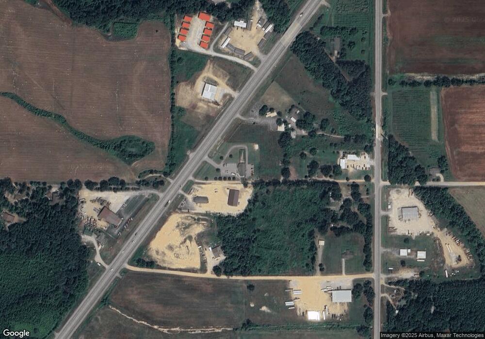
Map
Nearby Homes
- 1814 N Oak St
- 1816 N Oak St
- 210 Gulley Dr
- 0 Hwy 49 N Unit 25035379
- 93 County Road 7625
- 1804 N Oak St
- 357 Cr 790 Rd
- 124 Gulley Dr
- 108 Delle Ln
- 11011 Highway 49 N
- 111 Gulley Dr
- 109 Gulley Dr
- 108 Samantha Dr
- 102 Gulley Dr
- 107 Emma Dr
- 70 County Road 7922
- 110 County Road 7922
- 111 Clark Dr
- 109 Harper Dr
- 123 Harper Dr
- 10215 U S 49
- 10183 Highway 49b N
- 10196 U S 49
- 10203 Highway 49b N
- 10191 Highway 49b N
- 10137 Highway 49b N
- 10171 Highway 49b N
- 10171 Highway 49 B N
- 10171 Hwy 49 B N
- 109 County Road 7676
- 10081 Highway 49b N
- 11 County Road 952
- 10 County Road 952
- 10217 Highway 49 N
- 9825 Highway 49 N
- 10321 Highway 49b N
- 10090 Highway 49b N
- 10238 Highway 49 N
- 10238 U S 49
- 10064 Highway 49b N