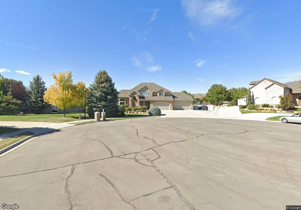
10215 N 6890 W Unit 13 American Fork, UT 84003
Estimated Value: $1,246,219 - $1,347,000
4
Beds
3
Baths
3,109
Sq Ft
$416/Sq Ft
Est. Value
About This Home
This home is located at 10215 N 6890 W Unit 13, American Fork, UT 84003 and is currently estimated at $1,293,055, approximately $415 per square foot. 10215 N 6890 W Unit 13 is a home located in Utah County with nearby schools including Freedom Elementary School, Mountain Ridge Junior High School, and American Fork High School.
Ownership History
Date
Name
Owned For
Owner Type
Purchase Details
Closed on
Jun 5, 2003
Sold by
Perry Homes Utah Inc
Bought by
Griffith Keith and Griffith Susan
Current Estimated Value
Purchase Details
Closed on
Sep 13, 2002
Sold by
Crist Brian
Bought by
Perry & Associates Inc
Purchase Details
Closed on
May 7, 2002
Sold by
Empire Exchange Llc
Bought by
Christ Brian
Purchase Details
Closed on
Nov 8, 2001
Sold by
Jak Investments Llc
Bought by
Empire Exchange Llc
Purchase Details
Closed on
Mar 19, 2001
Sold by
Hr Development Llc
Bought by
Kroneberger Jeff
Create a Home Valuation Report for This Property
The Home Valuation Report is an in-depth analysis detailing your home's value as well as a comparison with similar homes in the area
Home Values in the Area
Average Home Value in this Area
Purchase History
| Date | Buyer | Sale Price | Title Company |
|---|---|---|---|
| Griffith Keith | -- | Meridian Title Company | |
| Perry Homes Utah Inc | -- | Meridian Title Company | |
| Perry & Associates Inc | -- | Empire Land Title Company | |
| Christ Brian | -- | Empire Land Title Company | |
| Empire Exchange Llc | -- | Empire Land Title Company | |
| Jak Investments Llc | -- | Empire Land Title Company | |
| Kroneberger Jeff | -- | Empire Land Title Company |
Source: Public Records
Tax History Compared to Growth
Tax History
| Year | Tax Paid | Tax Assessment Tax Assessment Total Assessment is a certain percentage of the fair market value that is determined by local assessors to be the total taxable value of land and additions on the property. | Land | Improvement |
|---|---|---|---|---|
| 2025 | $5,493 | $721,325 | $760,500 | $531,200 |
| 2024 | $5,493 | $678,490 | $0 | $0 |
| 2023 | $5,045 | $672,210 | $0 | $0 |
| 2022 | $5,116 | $1,183,800 | $690,100 | $493,700 |
| 2021 | $4,591 | $872,900 | $490,200 | $382,700 |
| 2020 | $4,276 | $797,800 | $426,200 | $371,600 |
| 2019 | $3,995 | $779,500 | $426,200 | $353,300 |
| 2018 | $3,878 | $718,400 | $411,200 | $307,200 |
| 2017 | $3,482 | $348,705 | $0 | $0 |
| 2016 | $3,715 | $347,670 | $0 | $0 |
| 2015 | $3,779 | $335,295 | $0 | $0 |
| 2014 | $3,502 | $307,960 | $0 | $0 |
Source: Public Records
Map
Nearby Homes
- 9967 N 6670 W
- 975 E 2125 N
- 9924 N 6630 W Unit 9
- 859 E 2125 N
- 2208 N 825 E
- 6692 W 9770 N
- 975 E 2850 N
- 6399 W 10150 N
- 10434 N 6400 W
- 1602 E Center Pointe Dr
- 1602 E Center Pointe Dr Unit 1
- 1610 E Center Pointe Dr
- 6372 W 10400 N
- 6373 W 10500 N
- 6190 W 10050 N
- 9435 N Aspen Hollow Cir
- 3368 N 700 E
- 6271 W 10830 St N
- 192 E 2200 N
- 2539 N 300 E
- 10215 N 6890 W
- 6912 W 10205 N
- 6912 W 10205 N Unit 12
- 10197 N 6890 W
- 10234 N 6960 W
- 10234 N 6960 W Unit 19
- 6907 W 10300 N
- 6925 W 10300 N
- 10212 N 6960 W
- 6855 W 10300 N
- 6855 W 10300 N Unit 1
- 6862 W 10205 N Unit 11
- 10182 N 6960 W
- 6947 W 10300 N
- 6893 W 10205 N
- 10186 N 6960 W
- 10186 N 6960 W Unit 17
- 10183 6890 W Unit 15
- 6871 W 10205 N
- 6871 W 10205 N Unit 6