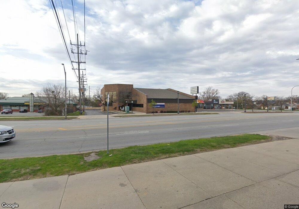
10215 Roosevelt Rd Unit 103 Westchester, IL 60154
Estimated Value: $1,106,850
--
Bed
--
Bath
10,919
Sq Ft
$101/Sq Ft
Est. Value
About This Home
This home is located at 10215 Roosevelt Rd Unit 103, Westchester, IL 60154 and is currently estimated at $1,106,850, approximately $101 per square foot. 10215 Roosevelt Rd Unit 103 is a home located in Cook County with nearby schools including Westchester Primary School, Westchester Intermediate School, and Westchester Middle School.
Ownership History
Date
Name
Owned For
Owner Type
Purchase Details
Closed on
Jul 2, 2007
Sold by
Adventist Hinsdale Hospital
Bought by
Cicero George Llc
Current Estimated Value
Purchase Details
Closed on
Jan 18, 2001
Sold by
La Salle Bank National Assn
Bought by
Hinsdale Hospital
Create a Home Valuation Report for This Property
The Home Valuation Report is an in-depth analysis detailing your home's value as well as a comparison with similar homes in the area
Home Values in the Area
Average Home Value in this Area
Purchase History
| Date | Buyer | Sale Price | Title Company |
|---|---|---|---|
| Cicero George Llc | $865,000 | Multiple | |
| Hinsdale Hospital | -- | -- |
Source: Public Records
Tax History Compared to Growth
Tax History
| Year | Tax Paid | Tax Assessment Tax Assessment Total Assessment is a certain percentage of the fair market value that is determined by local assessors to be the total taxable value of land and additions on the property. | Land | Improvement |
|---|---|---|---|---|
| 2024 | $67,864 | $258,581 | $105,560 | $153,021 |
| 2023 | $54,134 | $258,581 | $105,560 | $153,021 |
| 2022 | $54,134 | $177,437 | $60,320 | $117,117 |
| 2021 | $52,400 | $177,436 | $60,320 | $117,116 |
| 2020 | $51,194 | $177,434 | $60,320 | $117,114 |
| 2019 | $45,907 | $162,500 | $45,240 | $117,260 |
| 2018 | $45,306 | $162,500 | $45,240 | $117,260 |
| 2017 | $36,216 | $132,437 | $45,240 | $87,197 |
| 2016 | $29,115 | $99,830 | $41,470 | $58,360 |
| 2015 | $24,027 | $83,456 | $41,470 | $41,986 |
| 2014 | $25,440 | $90,452 | $41,470 | $48,982 |
| 2013 | $25,802 | $102,642 | $41,470 | $61,172 |
Source: Public Records
Map
Nearby Homes
- 10072 Drury Ln
- 1247 S Mannheim Rd Unit 3
- 1119 Newcastle Ave
- 920 Suffolk Ave
- 723 Balmoral Ave
- 814 Norfolk Ave
- 10524 Camelot St
- 10531 Camelot St
- 805 Norfolk Ave
- 923 Manchester Ave
- 1136 Park Place
- 1500 Bristol Ave
- 750 Bristol Ave
- 626 Manchester Ave
- 1102 Marshall Ave
- 10567 Waterford Dr
- 1623 Manchester Ave
- 1035 Bohland Ave
- 1601 Bristol Ave
- 1013 Bellwood Ave
- 10229 W Roosevelt Rd
- 1215 Balmoral Ave Unit 1
- 10235 W Roosevelt Rd
- 1225 Balmoral Ave
- 1224 Westchester Blvd
- 1231 Balmoral Ave
- 1230 Westchester Blvd
- 1234 Westchester Blvd
- 1215 Westchester Blvd Unit 2
- 1215 Westchester Blvd Unit 1
- 1240 Westchester Blvd
- 1241 Balmoral Ave Unit 2N
- 1221 Westchester Blvd
- 10150 W Roosevelt Rd
- 1232 Balmoral Ave
- 1244 Westchester Blvd
- 10258 Pelham St
- 1238 Balmoral Ave
- 1235 Westchester Blvd
- 10140 Pelham St