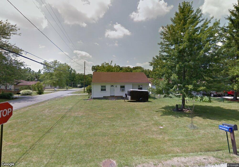
10216 Dupont Dr Columbia Station, OH 44028
Estimated Value: $152,000 - $177,000
2
Beds
1
Bath
912
Sq Ft
$179/Sq Ft
Est. Value
About This Home
This home is located at 10216 Dupont Dr, Columbia Station, OH 44028 and is currently estimated at $163,135, approximately $178 per square foot. 10216 Dupont Dr is a home located in Lorain County with nearby schools including Copopa Elementary School, Columbia Middle School, and Columbia High School.
Ownership History
Date
Name
Owned For
Owner Type
Purchase Details
Closed on
Oct 29, 2002
Sold by
Badger Keith M and Coto Karen A
Bought by
Zarefoss Michael F and Zarefoss Beverly A
Current Estimated Value
Home Financials for this Owner
Home Financials are based on the most recent Mortgage that was taken out on this home.
Original Mortgage
$69,300
Interest Rate
6.18%
Create a Home Valuation Report for This Property
The Home Valuation Report is an in-depth analysis detailing your home's value as well as a comparison with similar homes in the area
Home Values in the Area
Average Home Value in this Area
Purchase History
| Date | Buyer | Sale Price | Title Company |
|---|---|---|---|
| Zarefoss Michael F | $77,000 | Chicago Title Insurance Co |
Source: Public Records
Mortgage History
| Date | Status | Borrower | Loan Amount |
|---|---|---|---|
| Closed | Zarefoss Michael F | $69,300 |
Source: Public Records
Tax History Compared to Growth
Tax History
| Year | Tax Paid | Tax Assessment Tax Assessment Total Assessment is a certain percentage of the fair market value that is determined by local assessors to be the total taxable value of land and additions on the property. | Land | Improvement |
|---|---|---|---|---|
| 2024 | $1,857 | $42,196 | $17,493 | $24,703 |
| 2023 | $1,569 | $31,119 | $11,263 | $19,856 |
| 2022 | $1,532 | $31,119 | $11,263 | $19,856 |
| 2021 | $1,548 | $31,119 | $11,263 | $19,856 |
| 2020 | $1,452 | $26,190 | $9,480 | $16,710 |
| 2019 | $1,444 | $26,190 | $9,480 | $16,710 |
| 2018 | $1,457 | $26,190 | $9,480 | $16,710 |
| 2017 | $1,492 | $24,880 | $6,020 | $18,860 |
| 2016 | $1,503 | $24,880 | $6,020 | $18,860 |
| 2015 | $1,541 | $24,880 | $6,020 | $18,860 |
| 2014 | $1,540 | $24,880 | $6,020 | $18,860 |
| 2013 | $1,545 | $24,880 | $6,020 | $18,860 |
Source: Public Records
Map
Nearby Homes
- V/L Aldridge Dr
- 9855 Dupont Dr
- 8809 Leatherleaf Dr
- 8960 Leatherleaf Dr
- 8981 Leatherleaf Dr
- 8896 Firethorne Dr
- 24628 Sprague Rd
- 9797 Sugarbush Cir
- 10702 Winding Creek Chase
- 24032 Edward Ln
- 23514 Grist Mill Ct Unit 4
- 23155 Wainwright Terrace
- 9384 N Marks Rd
- 1046 Ashford Ct
- 23003 Chandlers Ln Unit 219
- 23003 Chandlers Ln Unit 230
- 23002 Chandlers Ln
- 23002 Chandlers Ln Unit 342
- 23002 Chandlers Ln Unit 221
- Columbia Plan at Ashford Cove
- 10216 Dupont Dr
- 10190 Dupont Dr
- 10189 Emerson Dr
- 10177 Emerson Dr
- 10203 Emerson Dr
- 10163 Emerson Dr
- 10217 Dupont Dr
- 10191 Dupont Dr
- 23702 Parkwood Dr
- 10146 Dupont Dr
- 23723 Parkwood Dr
- 10145 Emerson Dr
- 23690 Parkwood Dr
- 23743 Parkwood Dr
- 10163 Dupont Dr
- 23676 Parkwood Dr
- 10124 Dupont Dr
- 10129 Emerson Dr
- 23748 Parkwood Dr
- 10194 Colfax Dr