10218 Lost Path Ln Magnolia, TX 77354
Estimated Value: $750,000 - $1,265,117
--
Bed
--
Bath
4,853
Sq Ft
$215/Sq Ft
Est. Value
About This Home
This home is located at 10218 Lost Path Ln, Magnolia, TX 77354 and is currently estimated at $1,041,029, approximately $214 per square foot. 10218 Lost Path Ln is a home with nearby schools including Cedric C Smith, Bear Branch Junior High School, and Magnolia High School.
Ownership History
Date
Name
Owned For
Owner Type
Purchase Details
Closed on
Apr 8, 2022
Sold by
Pratt Steven D
Bought by
Sap Revocable Trust
Current Estimated Value
Purchase Details
Closed on
Jul 12, 2018
Sold by
Pratt Bettie L and Pratt Bettie Lue
Bought by
Pratt William D and Pratt William Dwight
Purchase Details
Closed on
Dec 31, 2013
Sold by
Pratt Steven D and Pratt Analisa M
Bought by
Pratt William D and Pratt Bettie L
Purchase Details
Closed on
Mar 25, 2013
Sold by
Wya Autumnwood Ltd
Bought by
Pratt Steven D and Pratt Analisa M
Home Financials for this Owner
Home Financials are based on the most recent Mortgage that was taken out on this home.
Original Mortgage
$115,900
Interest Rate
3.59%
Mortgage Type
Purchase Money Mortgage
Create a Home Valuation Report for This Property
The Home Valuation Report is an in-depth analysis detailing your home's value as well as a comparison with similar homes in the area
Home Values in the Area
Average Home Value in this Area
Purchase History
| Date | Buyer | Sale Price | Title Company |
|---|---|---|---|
| Sap Revocable Trust | -- | None Listed On Document | |
| Pratt William D | -- | None Available | |
| Pratt William D | -- | None Available | |
| Pratt Steven D | -- | First American Title |
Source: Public Records
Mortgage History
| Date | Status | Borrower | Loan Amount |
|---|---|---|---|
| Previous Owner | Pratt Steven D | $115,900 |
Source: Public Records
Tax History Compared to Growth
Tax History
| Year | Tax Paid | Tax Assessment Tax Assessment Total Assessment is a certain percentage of the fair market value that is determined by local assessors to be the total taxable value of land and additions on the property. | Land | Improvement |
|---|---|---|---|---|
| 2025 | $16,213 | $1,268,799 | -- | -- |
| 2024 | $16,223 | $1,153,454 | $201,250 | $952,204 |
| 2023 | $16,223 | $1,156,390 | $201,250 | $955,140 |
| 2022 | $17,619 | $998,450 | $201,250 | $797,200 |
| 2021 | $16,855 | $906,830 | $201,250 | $705,580 |
| 2020 | $18,643 | $921,210 | $201,250 | $719,960 |
| 2019 | $18,384 | $912,870 | $201,250 | $711,620 |
| 2018 | $13,557 | $714,780 | $201,250 | $569,300 |
| 2017 | $13,779 | $649,800 | $80,500 | $569,300 |
| 2016 | $1,908 | $90,000 | $90,000 | $0 |
| 2015 | $1,689 | $78,750 | $78,750 | $0 |
| 2014 | $1,689 | $78,750 | $78,750 | $0 |
Source: Public Records
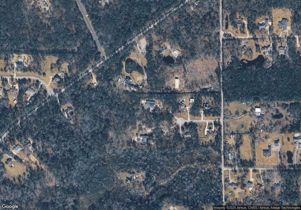
Map
Nearby Homes
- 11348 Sunset Ave
- 000 Hardin Store Rd
- 10260 Badger Run Ln
- 10288 Badger Run Ln
- 10236 Badger Run Ln
- 10228 Badger Run Ln
- 10220 Badger Run Ln
- 10216 Badger Run Ln
- 27402 Axis Deer Trail
- 27398 Axis Deer Trail
- 27394 Axis Deer Trail
- 1988 Plan at Mill Creek Trails
- 2470 Plan at Mill Creek Trails
- 1350 Plan at Mill Creek Trails
- 1918 Plan at Mill Creek Trails
- 2253 Plan at Mill Creek Trails
- 2409 Plan at Mill Creek Trails
- 1427 Plan at Mill Creek Trails
- 1860 Plan at Mill Creek Trails
- 1597 Plan at Mill Creek Trails
- 123 Country Ln
- 131 Country Ln
- 163 Country Ln
- 110 Country Ln
- 134 Country Ln
- 201 Country Ln
- 138 Country Ln
- 211 Country Ln
- 190 Country Ln Unit CIRCLE
- 190 Country Ln Unit CIR
- 190 Country Ln
- 212 Country Ln
- 27530 Hardin Store Rd
- 220 Country Ln Unit CIRCLE
- 220 Country Ln Unit CIR
- 260 Country Ln
- 10219 Lost Path Ln
- Lot 89 Country Forest
- 10210 Lost Path Ln
- 10211 Lost Path Ln