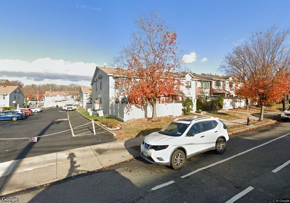
1021A Rockland Ave Unit 67 Staten Island, NY 10314
New Springville NeighborhoodEstimated Value: $473,000 - $582,000
--
Bed
--
Bath
1,234
Sq Ft
$428/Sq Ft
Est. Value
About This Home
This home is located at 1021A Rockland Ave Unit 67, Staten Island, NY 10314 and is currently estimated at $527,785, approximately $427 per square foot. 1021A Rockland Ave Unit 67 is a home located in Richmond County with nearby schools including P.S. 69 - Daniel D. Tompkins, Is 72 Rocco Laurie, and Susan E Wagner High School.
Ownership History
Date
Name
Owned For
Owner Type
Purchase Details
Closed on
Nov 6, 2002
Sold by
Singer Robert
Bought by
Antipenko Yelena V
Current Estimated Value
Home Financials for this Owner
Home Financials are based on the most recent Mortgage that was taken out on this home.
Original Mortgage
$180,000
Interest Rate
5.4%
Mortgage Type
Purchase Money Mortgage
Create a Home Valuation Report for This Property
The Home Valuation Report is an in-depth analysis detailing your home's value as well as a comparison with similar homes in the area
Home Values in the Area
Average Home Value in this Area
Purchase History
| Date | Buyer | Sale Price | Title Company |
|---|---|---|---|
| Antipenko Yelena V | $225,000 | First American Title Insuran |
Source: Public Records
Mortgage History
| Date | Status | Borrower | Loan Amount |
|---|---|---|---|
| Previous Owner | Antipenko Yelena V | $180,000 | |
| Closed | Antipenko Yelena V | $22,500 |
Source: Public Records
Tax History Compared to Growth
Tax History
| Year | Tax Paid | Tax Assessment Tax Assessment Total Assessment is a certain percentage of the fair market value that is determined by local assessors to be the total taxable value of land and additions on the property. | Land | Improvement |
|---|---|---|---|---|
| 2025 | $4,225 | $31,152 | $2,158 | $28,994 |
| 2024 | $4,225 | $26,550 | $2,513 | $24,037 |
| 2023 | $4,030 | $19,844 | $2,380 | $17,464 |
| 2022 | $3,737 | $23,549 | $3,172 | $20,377 |
| 2021 | $3,717 | $21,215 | $3,172 | $18,043 |
| 2020 | $3,739 | $22,140 | $3,172 | $18,968 |
| 2019 | $3,667 | $19,253 | $3,172 | $16,081 |
| 2018 | $3,371 | $16,537 | $2,475 | $14,062 |
| 2017 | $3,180 | $15,601 | $2,535 | $13,066 |
| 2016 | $2,942 | $14,719 | $2,410 | $12,309 |
| 2015 | $2,803 | $14,719 | $2,452 | $12,267 |
| 2014 | $2,803 | $14,607 | $2,746 | $11,861 |
Source: Public Records
Map
Nearby Homes
- 143 Monahan Ave
- 28A Mcdivitt Ave Unit 11
- 8 Mcdivitt Ave Unit A
- 186 Monahan Ave
- 11 Shirra Ave Unit A
- 20 Sweetgum Ln
- 45 Braisted Ave
- 222 Monahan Ave
- 101 McVeigh Ave
- 29 Shirra Ave Unit 249
- 252A Ashworth Ave Unit 220
- 252 Ashworth Ave Unit A
- 22 Braisted Ave
- 69 Gina Ct Unit 289
- 333 Travis Ave
- 44 McVeigh Ave
- 63 Monahan Ave
- 181 McVeigh Ave
- 107 Denker Place
- 35 Monarch Ct
- 1021 Rockland Ave Unit A
- 1019A Rockland Ave
- 1019 Rockland Ave Unit 63
- 1019 Rockland Ave Unit A
- 1023A Rockland Ave
- 1023 Rockland Ave Unit 65
- 1017A Rockland Ave
- 1015A Rockland Ave Unit 70
- 1015 Rockland Ave Unit 61
- 1015 Rockland Ave Unit A
- 52 Mcdivitt Ave Unit 26
- 48 Mcdivitt Ave Unit 27
- 52 Mcdivitt Ave Unit 21
- 48 Mcdivitt Ave Unit 20
- 54 Mcdivitt Ave
- 54A Mcdivitt Ave Unit 22
- 54 Mcdivitt Ave Unit A
- 56A Mcdivitt Ave Unit 23
- 1033 Rockland Ave Unit 71
- 1033 Rockland Ave Unit A