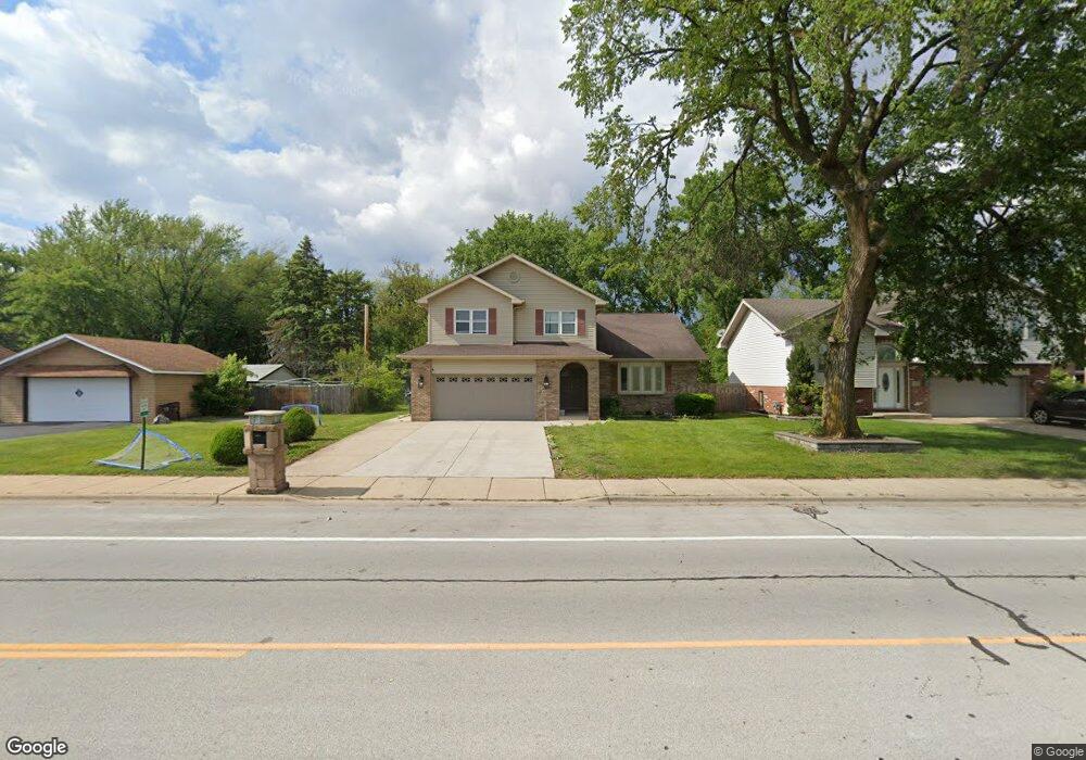
1022 175th St Hazel Crest, IL 60429
Estimated Value: $276,108 - $397,000
4
Beds
3
Baths
2,296
Sq Ft
$142/Sq Ft
Est. Value
About This Home
This home is located at 1022 175th St, Hazel Crest, IL 60429 and is currently estimated at $325,777, approximately $141 per square foot. 1022 175th St is a home located in Cook County with nearby schools including Thornwood High School and Glenwood Academy.
Ownership History
Date
Name
Owned For
Owner Type
Purchase Details
Closed on
Mar 31, 1998
Sold by
State Bank Of Countryside
Bought by
Jones Sylvia
Current Estimated Value
Home Financials for this Owner
Home Financials are based on the most recent Mortgage that was taken out on this home.
Original Mortgage
$150,000
Outstanding Balance
$24,020
Interest Rate
6.62%
Estimated Equity
$301,757
Purchase Details
Closed on
Sep 22, 1997
Sold by
Standard Bank & Trust Company
Bought by
State Bank Of Countryside and Trust #96-1674
Purchase Details
Closed on
Jul 21, 1993
Sold by
Mitropoulos John P
Bought by
Mitropoulos Anthony J
Create a Home Valuation Report for This Property
The Home Valuation Report is an in-depth analysis detailing your home's value as well as a comparison with similar homes in the area
Home Values in the Area
Average Home Value in this Area
Purchase History
| Date | Buyer | Sale Price | Title Company |
|---|---|---|---|
| Jones Sylvia | $164,000 | -- | |
| State Bank Of Countryside | $9,333 | -- | |
| Mitropoulos Anthony J | -- | -- |
Source: Public Records
Mortgage History
| Date | Status | Borrower | Loan Amount |
|---|---|---|---|
| Open | Jones Sylvia | $150,000 |
Source: Public Records
Tax History
| Year | Tax Paid | Tax Assessment Tax Assessment Total Assessment is a certain percentage of the fair market value that is determined by local assessors to be the total taxable value of land and additions on the property. | Land | Improvement |
|---|---|---|---|---|
| 2025 | $12,309 | $27,001 | $4,010 | $22,991 |
| 2024 | $12,309 | $27,001 | $4,010 | $22,991 |
| 2023 | $8,626 | $27,001 | $4,010 | $22,991 |
| 2022 | $8,626 | $16,676 | $3,564 | $13,112 |
| 2021 | $8,524 | $16,675 | $3,564 | $13,111 |
| 2020 | $8,316 | $16,675 | $3,564 | $13,111 |
| 2019 | $7,923 | $16,679 | $3,118 | $13,561 |
| 2018 | $7,833 | $16,679 | $3,118 | $13,561 |
| 2017 | $7,907 | $16,679 | $3,118 | $13,561 |
| 2016 | $7,090 | $15,134 | $2,673 | $12,461 |
| 2015 | $6,789 | $15,134 | $2,673 | $12,461 |
| 2014 | $6,688 | $15,134 | $2,673 | $12,461 |
| 2013 | $7,325 | $17,541 | $2,673 | $14,868 |
Source: Public Records
Map
Nearby Homes
- 17406 Lathrop Ave
- 1021 173rd St
- 1307 173rd St
- 1113 171st St
- 1409 172nd St
- 1411 172nd St
- 1514 173rd St
- 18000 Armitage Ct
- 18110 Center Ave
- 18205 Hart Dr Unit 2B
- 1321 Ridge Rd
- 17917 Ashland Ave
- 17866 Ashland Ave
- 18144 Aberdeen St
- 840 Elder Rd Unit A405
- 1624 Burr Oak Rd
- 1236 Olive Rd
- 1621 Burr Oak Rd
- 1121 Olive Rd
- 1465 Ridge Rd
Your Personal Tour Guide
Ask me questions while you tour the home.