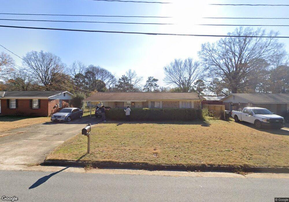
1022 52nd St Columbus, GA 31904
Northern Columbus NeighborhoodEstimated Value: $90,000 - $153,000
3
Beds
2
Baths
950
Sq Ft
$136/Sq Ft
Est. Value
About This Home
This home is located at 1022 52nd St, Columbus, GA 31904 and is currently estimated at $129,264, approximately $136 per square foot. 1022 52nd St is a home located in Muscogee County with nearby schools including River Road Elementary School, Arnold Middle School, and Jordan Vocational High School.
Ownership History
Date
Name
Owned For
Owner Type
Purchase Details
Closed on
Dec 16, 2021
Sold by
Lr Partners Llc
Bought by
Rd Valentini Co Llc
Current Estimated Value
Purchase Details
Closed on
Apr 13, 2016
Sold by
Reverse Mtg Solutions Inc
Bought by
Lr Partners Llc
Purchase Details
Closed on
Feb 2, 2016
Sold by
Posey Charlotte L
Bought by
Reverse Mtg Solutions Inc
Create a Home Valuation Report for This Property
The Home Valuation Report is an in-depth analysis detailing your home's value as well as a comparison with similar homes in the area
Home Values in the Area
Average Home Value in this Area
Purchase History
| Date | Buyer | Sale Price | Title Company |
|---|---|---|---|
| Rd Valentini Co Llc | -- | -- | |
| Lr Partners Llc | $38,000 | -- | |
| Reverse Mtg Solutions Inc | $69,000 | -- |
Source: Public Records
Tax History Compared to Growth
Tax History
| Year | Tax Paid | Tax Assessment Tax Assessment Total Assessment is a certain percentage of the fair market value that is determined by local assessors to be the total taxable value of land and additions on the property. | Land | Improvement |
|---|---|---|---|---|
| 2025 | $1,279 | $32,684 | $9,408 | $23,276 |
| 2024 | $1,279 | $32,684 | $9,408 | $23,276 |
| 2023 | $1,287 | $32,684 | $9,408 | $23,276 |
| 2022 | $1,138 | $27,876 | $7,056 | $20,820 |
| 2021 | $1,071 | $26,228 | $7,056 | $19,172 |
| 2020 | $817 | $20,000 | $7,056 | $12,944 |
| 2019 | $819 | $20,000 | $7,056 | $12,944 |
| 2018 | $623 | $28,840 | $7,056 | $21,784 |
| 2017 | $625 | $15,200 | $3,400 | $11,800 |
| 2016 | $1,040 | $22,591 | $5,324 | $17,267 |
| 2015 | $3 | $25,207 | $5,324 | $19,883 |
| 2014 | $9 | $25,207 | $5,324 | $19,883 |
| 2013 | $11 | $25,207 | $5,324 | $19,883 |
Source: Public Records
Map
Nearby Homes
- 1028 52nd St
- 1016 52nd St
- 1025 E Crockett Dr
- 1034 52nd St
- 1010 52nd St
- 1019 E Crockett Dr
- 1031 E Crockett Dr
- 1021 52nd St
- 1037 E Crockett Dr
- 1015 E Crockett Dr
- 1013 52nd St
- 5178 Thomason Ave
- 1040 52nd St
- 5189 Morris Ave
- 5170 Thomason Ave
- 1003 52nd St
- 1045 E Crockett Dr
- 5210 Thomason Ave
- 5162 Thomason Ave
- 1034 E Crockett Dr