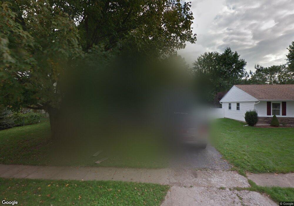
1022 Bittersweet Dr New Carlisle, OH 45344
Estimated Value: $158,000 - $176,000
3
Beds
1
Bath
1,084
Sq Ft
$154/Sq Ft
Est. Value
About This Home
This home is located at 1022 Bittersweet Dr, New Carlisle, OH 45344 and is currently estimated at $166,755, approximately $153 per square foot. 1022 Bittersweet Dr is a home located in Clark County with nearby schools including New Carlisle Elementary School, Park Layne Elementary School, and Donnelsville Elementary School.
Ownership History
Date
Name
Owned For
Owner Type
Purchase Details
Closed on
Mar 28, 2002
Sold by
Ballard James E
Bought by
Kennedy Bryan L
Current Estimated Value
Home Financials for this Owner
Home Financials are based on the most recent Mortgage that was taken out on this home.
Original Mortgage
$81,717
Outstanding Balance
$34,165
Interest Rate
6.93%
Mortgage Type
Purchase Money Mortgage
Estimated Equity
$132,590
Purchase Details
Closed on
Mar 19, 2001
Sold by
Ballard Edith Louise
Bought by
Ballard James E
Purchase Details
Closed on
Jun 16, 2000
Sold by
Waddle Edward N and Waddle Lori E
Bought by
Ballard Edith L
Create a Home Valuation Report for This Property
The Home Valuation Report is an in-depth analysis detailing your home's value as well as a comparison with similar homes in the area
Home Values in the Area
Average Home Value in this Area
Purchase History
| Date | Buyer | Sale Price | Title Company |
|---|---|---|---|
| Kennedy Bryan L | $83,000 | -- | |
| Ballard James E | -- | -- | |
| Ballard Edith L | $72,900 | -- |
Source: Public Records
Mortgage History
| Date | Status | Borrower | Loan Amount |
|---|---|---|---|
| Open | Kennedy Bryan L | $81,717 |
Source: Public Records
Tax History Compared to Growth
Tax History
| Year | Tax Paid | Tax Assessment Tax Assessment Total Assessment is a certain percentage of the fair market value that is determined by local assessors to be the total taxable value of land and additions on the property. | Land | Improvement |
|---|---|---|---|---|
| 2024 | $1,912 | $37,070 | $9,440 | $27,630 |
| 2023 | $1,912 | $37,070 | $9,440 | $27,630 |
| 2022 | $1,874 | $37,070 | $9,440 | $27,630 |
| 2021 | $1,874 | $32,130 | $7,260 | $24,870 |
| 2020 | $1,878 | $32,130 | $7,260 | $24,870 |
| 2019 | $1,909 | $32,130 | $7,260 | $24,870 |
| 2018 | $1,630 | $25,410 | $7,400 | $18,010 |
| 2017 | $1,521 | $28,270 | $7,403 | $20,867 |
| 2016 | $1,512 | $28,270 | $7,403 | $20,867 |
| 2015 | $1,572 | $27,703 | $7,259 | $20,444 |
| 2014 | $1,559 | $27,703 | $7,259 | $20,444 |
| 2013 | $1,563 | $27,703 | $7,259 | $20,444 |
Source: Public Records
Map
Nearby Homes
- 907 White Pine St
- 930 Firwood Dr
- 605 Fenview Dr
- 315 Fenwick Dr
- 222 Rawson Dr
- 1101 Cambridge Ct Unit 1103
- 302 N Smith St
- 225 Prentice Dr
- 224 Orth Dr
- 1211 N Scott St
- 1204 N Scott St
- 1207 N Scott St
- 202 Fenwick Dr
- 203 Monroe Way
- Spruce Plan at Monroe Meadows
- Norway Plan at Monroe Meadows
- 201 Monroe Way
- Cooper Plan at Monroe Meadows
- Chestnut Plan at Monroe Meadows
- Ashton Plan at Monroe Meadows
- 1024 Bittersweet Dr
- 1020 Bittersweet Dr
- 707 Applewood Dr
- 1023 Cloverleaf Dr
- 1026 Bittersweet Dr
- 705 Applewood Dr
- 1025 Cloverleaf Dr
- 1021 Bittersweet Dr
- 1023 Bittersweet Dr
- 1025 Bittersweet Dr
- 1028 Bittersweet Dr
- 1027 Cloverleaf Dr
- 906 White Pine St
- 1027 Bittersweet Dr
- 706 Applewood Dr
- 704 Applewood Dr
- 980 Pepperwood Dr
- 904 White Pine St
- 803 Applewood Dr
- 708 Applewood Dr