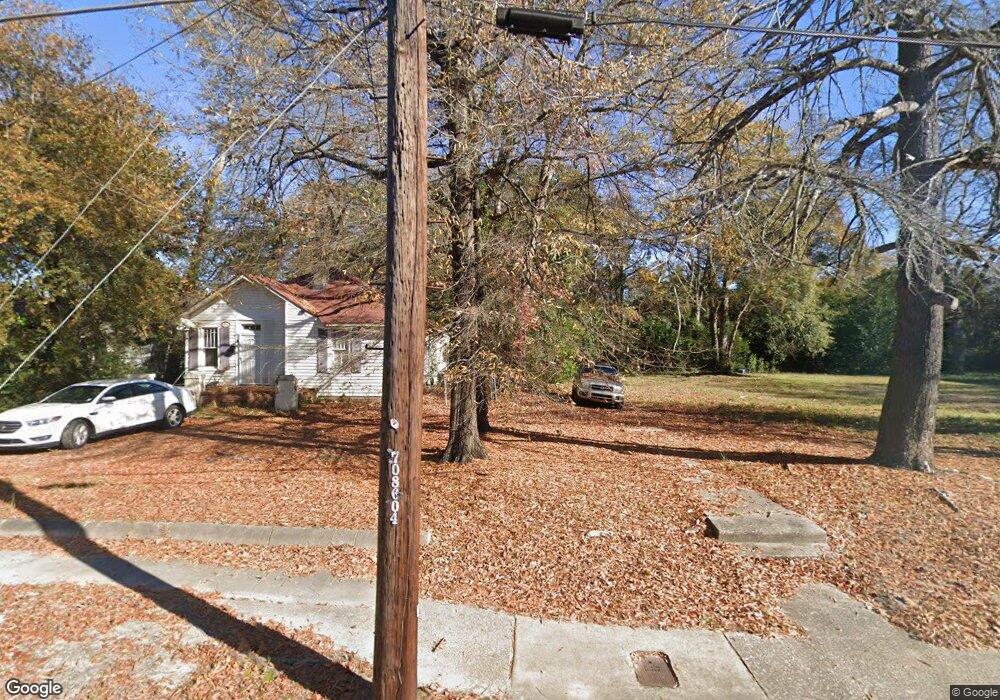
1022 Brown Ave Columbus, GA 31906
East Wynnton-Wynnton Hill NeighborhoodEstimated Value: $89,000 - $202,000
--
Bed
--
Bath
--
Sq Ft
7,405
Sq Ft Lot
About This Home
This home is located at 1022 Brown Ave, Columbus, GA 31906 and is currently estimated at $133,333. 1022 Brown Ave is a home located in Muscogee County with nearby schools including Baker Middle School, Carver High School, and Wynnton Elementary School.
Ownership History
Date
Name
Owned For
Owner Type
Purchase Details
Closed on
Jan 4, 2013
Sold by
Hunt George Michael
Bought by
Waldrep Robert E
Current Estimated Value
Purchase Details
Closed on
Oct 31, 2012
Sold by
Hunt Aaron Michael
Bought by
Hunt George Michael
Purchase Details
Closed on
Oct 20, 2011
Sold by
Hunt George Michael
Bought by
Hunt George Michael and Hunt Aaron Michael
Purchase Details
Closed on
May 20, 2008
Sold by
Wynnton Apartments Inc
Bought by
Hunt George Michael
Purchase Details
Closed on
Apr 7, 2008
Sold by
Wynnton Apartments Inc
Bought by
Wynnton Apartments Inc
Purchase Details
Closed on
Apr 5, 2008
Sold by
Wynnton Apartments Inc
Bought by
Wynnton Apartments Inc
Create a Home Valuation Report for This Property
The Home Valuation Report is an in-depth analysis detailing your home's value as well as a comparison with similar homes in the area
Home Values in the Area
Average Home Value in this Area
Purchase History
| Date | Buyer | Sale Price | Title Company |
|---|---|---|---|
| Waldrep Robert E | $5,000 | -- | |
| Hunt George Michael | -- | -- | |
| Hunt George Michael | -- | -- | |
| Hunt George Michael | $20,000 | None Available | |
| Wynnton Apartments Inc | -- | None Available | |
| Wynnton Apartments Inc | -- | None Available | |
| Wynnton Apartments Inc | -- | None Available |
Source: Public Records
Tax History Compared to Growth
Tax History
| Year | Tax Paid | Tax Assessment Tax Assessment Total Assessment is a certain percentage of the fair market value that is determined by local assessors to be the total taxable value of land and additions on the property. | Land | Improvement |
|---|---|---|---|---|
| 2025 | $149 | $3,812 | $3,812 | $0 |
| 2024 | $90 | $3,812 | $3,812 | $0 |
| 2023 | $156 | $3,812 | $3,812 | $0 |
| 2022 | $156 | $3,812 | $3,812 | $0 |
| 2021 | $156 | $3,812 | $3,812 | $0 |
| 2020 | $156 | $3,812 | $3,812 | $0 |
| 2019 | $156 | $3,812 | $3,812 | $0 |
| 2018 | $156 | $3,812 | $3,812 | $0 |
| 2017 | $157 | $3,812 | $3,812 | $0 |
| 2016 | $111 | $2,700 | $2,700 | $0 |
| 2015 | $33 | $2,000 | $2,000 | $0 |
| 2014 | $33 | $2,000 | $2,000 | $0 |
| 2013 | -- | $13,762 | $2,000 | $11,762 |
Source: Public Records
Map
Nearby Homes
- 1026 Brown Ave
- 1012 Brown Ave
- 2100 Schaul St
- 1008 Brown Ave
- 2104 Schaul St
- 1019 Britt Ave
- 2029 Lockwood St
- 1025 Britt Ave
- 1015 Britt Ave
- 1029 Britt Ave
- 1004 Brown Ave
- 2027 Lockwood St
- 1033 Britt Ave
- 2023 Lockwood St
- 1005 Britt Ave
- 1101 Brown Ave
- 1101 Brown Ave Unit B
- 2115 10th St
- 1100 Brown Ave
- 2013 Lockwood St