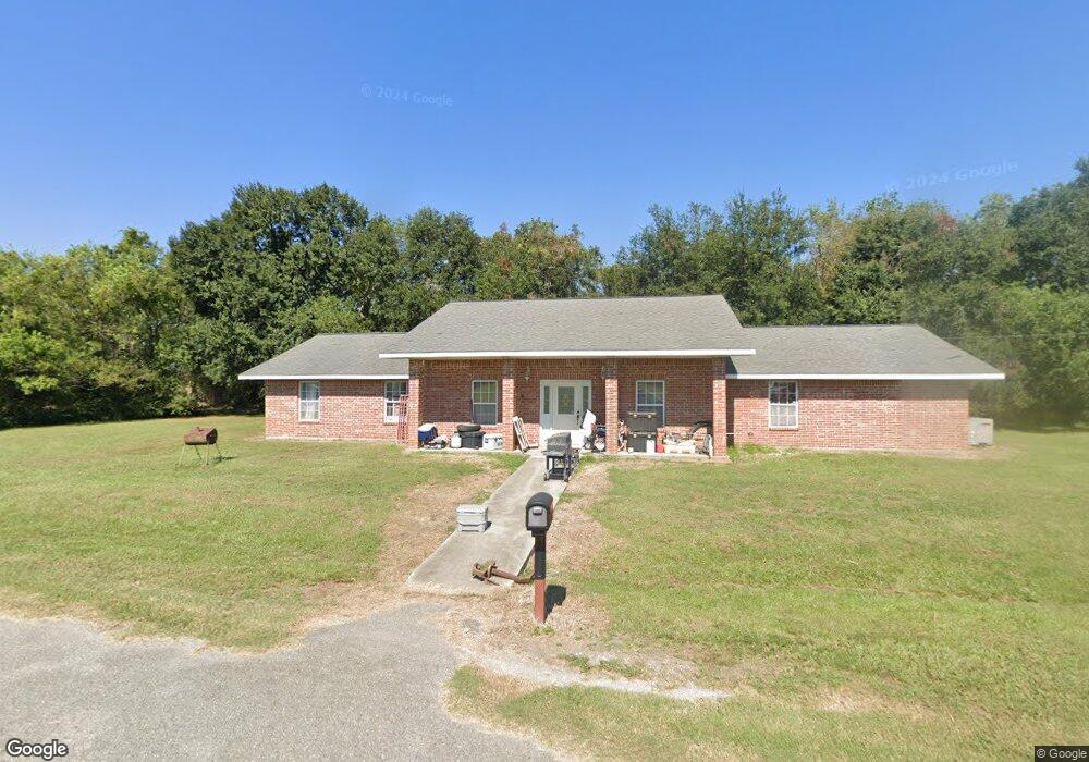
1022 Clint Dr Breaux Bridge, LA 70517
Saint Martin Parish NeighborhoodEstimated Value: $237,000 - $318,000
--
Bed
--
Bath
2,466
Sq Ft
$110/Sq Ft
Est. Value
About This Home
This home is located at 1022 Clint Dr, Breaux Bridge, LA 70517 and is currently estimated at $271,419, approximately $110 per square foot. 1022 Clint Dr is a home located in St. Martin Parish with nearby schools including Breaux Bridge Primary School, Breaux Bridge Junior High School, and Breaux Bridge High School.
Ownership History
Date
Name
Owned For
Owner Type
Purchase Details
Closed on
Nov 12, 2020
Sold by
Reid Sheila R
Bought by
Theriot Clint A
Current Estimated Value
Home Financials for this Owner
Home Financials are based on the most recent Mortgage that was taken out on this home.
Original Mortgage
$1
Outstanding Balance
$1
Interest Rate
2.8%
Mortgage Type
Purchase Money Mortgage
Purchase Details
Closed on
Jan 19, 2018
Sold by
Theriot Clint A
Bought by
Reid Sheila R
Home Financials for this Owner
Home Financials are based on the most recent Mortgage that was taken out on this home.
Original Mortgage
$163,000
Interest Rate
3.94%
Mortgage Type
Purchase Money Mortgage
Create a Home Valuation Report for This Property
The Home Valuation Report is an in-depth analysis detailing your home's value as well as a comparison with similar homes in the area
Home Values in the Area
Average Home Value in this Area
Purchase History
| Date | Buyer | Sale Price | Title Company |
|---|---|---|---|
| Theriot Clint A | $153,581 | None Available | |
| Reid Sheila R | $204,000 | -- |
Source: Public Records
Mortgage History
| Date | Status | Borrower | Loan Amount |
|---|---|---|---|
| Open | Theriot Clint A | $1 | |
| Previous Owner | Reid Sheila R | $163,000 |
Source: Public Records
Tax History Compared to Growth
Tax History
| Year | Tax Paid | Tax Assessment Tax Assessment Total Assessment is a certain percentage of the fair market value that is determined by local assessors to be the total taxable value of land and additions on the property. | Land | Improvement |
|---|---|---|---|---|
| 2024 | $2,352 | $23,080 | $2,550 | $20,530 |
| 2023 | $2,100 | $20,020 | $2,550 | $17,470 |
| 2022 | $2,098 | $20,020 | $2,550 | $17,470 |
| 2021 | $2,098 | $20,020 | $2,550 | $17,470 |
| 2020 | $2,093 | $20,020 | $2,550 | $17,470 |
| 2019 | $2,043 | $19,360 | $2,550 | $16,810 |
| 2018 | $1,825 | $17,510 | $700 | $16,810 |
| 2017 | $1,641 | $17,170 | $600 | $16,570 |
| 2016 | $1,565 | $18,970 | $2,400 | $16,570 |
| 2015 | $1,742 | $18,070 | $2,000 | $16,070 |
| 2014 | $1,598 | $16,570 | $500 | $16,070 |
| 2013 | $1,598 | $18,070 | $2,000 | $16,070 |
Source: Public Records
Map
Nearby Homes
- 1243 Huval Rd
- 1166 Madeline Heights
- 1005 Landry Rd
- 1152 Madeline Heights Unit B
- 1007 N Lake View Dr
- 0 Doyle Melancon
- 1127 Huval Rd Unit A
- 10 Delcambre Rd
- 2 Delcambre Rd
- 9 Delcambre Rd
- 17 Delcambre Rd
- 4 Delcambre Rd
- 25 Delcambre Rd
- 16 Delcambre Rd
- 1 Delcambre Rd
- 3 Delcambre Rd
- 6 Delcambre Rd
- 29 Delcambre Rd
- 24 Delcambre Rd
- 12 Delcambre Rd
- 1005 Clint Dr
- 1255 Huval Rd
- 1253 Huval Rd
- 2398 Doyle Melancon Rd
- 1265 Huval Rd
- 1247 Huval Rd
- 1254 Huval Rd Unit A
- 1231 Huval Rd
- 1229 Huval Rd
- 1246 Huval Rd
- 1228 Huval Rd Unit A
- 1222 Huval Rd
- 2300 Blk Doyle Melancon
- 1205 Huval Rd
- 1203 Huval Rd Unit B
- 2480 Doyle Melancon Rd
- 2346 Doyle Melancon Rd
- 1030 Pecanwood Dr
- 1188 Huval Rd
- 1024 Pecanwood Dr