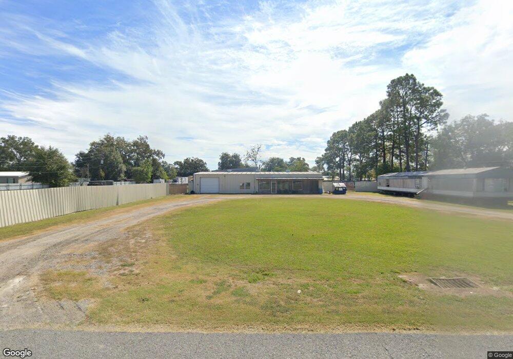
1022 Huval Rd Breaux Bridge, LA 70517
Saint Martin Parish NeighborhoodEstimated Value: $78,495 - $157,000
5
Beds
3
Baths
1,000
Sq Ft
$106/Sq Ft
Est. Value
About This Home
This home is located at 1022 Huval Rd, Breaux Bridge, LA 70517 and is currently estimated at $106,165, approximately $106 per square foot. 1022 Huval Rd is a home located in St. Martin Parish with nearby schools including Breaux Bridge Primary School, Breaux Bridge Junior High School, and Breaux Bridge High School.
Ownership History
Date
Name
Owned For
Owner Type
Purchase Details
Closed on
Jun 7, 2023
Sold by
C & C Bergeron Llc
Bought by
Joe Dale Properties Llc
Current Estimated Value
Purchase Details
Closed on
May 6, 2021
Sold by
King Investment Props Llc
Bought by
C & C Bergeron Llc
Purchase Details
Closed on
Jun 18, 2020
Sold by
King Investment Props Llc
Bought by
Kessler Claudius
Purchase Details
Closed on
Feb 28, 2014
Sold by
Farmers Merchants Bank & Trust Co
Bought by
King Investment Properties Llc
Create a Home Valuation Report for This Property
The Home Valuation Report is an in-depth analysis detailing your home's value as well as a comparison with similar homes in the area
Home Values in the Area
Average Home Value in this Area
Purchase History
| Date | Buyer | Sale Price | Title Company |
|---|---|---|---|
| Joe Dale Properties Llc | -- | None Listed On Document | |
| C & C Bergeron Llc | $72,500 | None Available | |
| Kessler Claudius | $1,174 | None Available | |
| King Investment Properties Llc | $95,000 | None Available |
Source: Public Records
Tax History Compared to Growth
Tax History
| Year | Tax Paid | Tax Assessment Tax Assessment Total Assessment is a certain percentage of the fair market value that is determined by local assessors to be the total taxable value of land and additions on the property. | Land | Improvement |
|---|---|---|---|---|
| 2024 | $797 | $7,820 | $2,500 | $5,320 |
| 2023 | $698 | $6,650 | $2,500 | $4,150 |
| 2022 | $953 | $9,090 | $2,500 | $6,590 |
| 2021 | $953 | $9,090 | $2,500 | $6,590 |
| 2020 | $950 | $9,090 | $2,500 | $6,590 |
| 2019 | $923 | $8,750 | $2,500 | $6,250 |
| 2018 | $912 | $8,750 | $2,500 | $6,250 |
| 2017 | $836 | $8,750 | $2,500 | $6,250 |
| 2016 | $798 | $8,750 | $2,500 | $6,250 |
| 2015 | $842 | $8,730 | $2,500 | $6,230 |
| 2014 | $842 | $8,730 | $2,500 | $6,230 |
| 2013 | $842 | $7,290 | $2,500 | $4,790 |
Source: Public Records
Map
Nearby Homes
- 1008 Kern Dr
- 0 Layton
- 1127 Huval Rd Unit A
- 0 Bayou Oaks Dr Unit 2500004742
- 0000 Frank Castille Rd
- 1141 Madeline Heights
- 4444 Main Hwy
- 1152 Madeline Heights Unit B
- 1166 Madeline Heights
- 1075 Poydras Place
- 4189 Poydras Hwy
- 1123 Lake Martin Rd
- 000 Bunker Dr
- 0000 Bunker Dr
- 1108 Poydras Place
- 1079 Clayton Castille Rd
- Lot 3c-7 Clayton Castille Rd
- Lot 3c-6 Clayton Castille Rd
- 16 Delcambre Rd
- 2 Delcambre Rd
- 1028 Huval Rd
- 1014 Huval Rd
- 1025 Madeline Heights
- 1031 Madeline Heights
- 1021 Madeline Heights
- 1035 Madeline Heights
- 1025 Huval Rd
- 1032 Huval Rd
- 1015 Madeline Heights
- 1028 Madeline Heights
- 1039 Madeline Heights
- 1022 Madeline Heights
- 1045 Huval Rd
- 1036 Madeline Heights
- 1020 Madeline Heights
- 1006 Carol Comb Rd
- 1005 Huval Rd
- 1016 Madeline Heights
- 1047 Huval Rd
- 1007 Madeline Heights