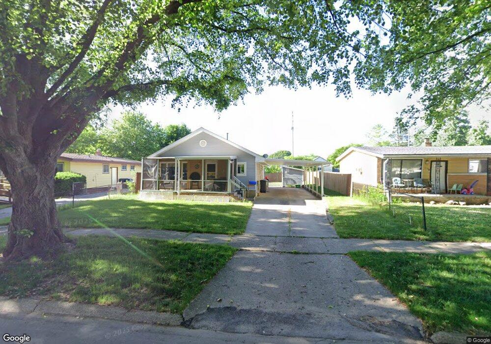
1022 Macdonald Ave Unit Bldg-Unit Flint, MI 48507
Circle Drive NeighborhoodEstimated Value: $81,445 - $93,000
About This Home
This home is located at 1022 Macdonald Ave Unit Bldg-Unit, Flint, MI 48507 and is currently estimated at $86,361, approximately $91 per square foot. 1022 Macdonald Ave Unit Bldg-Unit is a home located in Genesee County with nearby schools including Freeman Elementary School, Flint Southwestern Classical Academy, and International Academy of Flint (K-12).
Ownership History
Purchase Details
Home Financials for this Owner
Home Financials are based on the most recent Mortgage that was taken out on this home.Purchase Details
Home Financials for this Owner
Home Financials are based on the most recent Mortgage that was taken out on this home.Purchase Details
Home Values in the Area
Average Home Value in this Area
Purchase History
We collect this data history from publicly available records. To have your information removed, we recommend requesting removal directly through your county’s website.
| Date | Buyer | Sale Price | Title Company |
|---|---|---|---|
| Bowe Alva | $44,000 | Cislo Title Co | |
| Brown Loretta B | -- | Greco Title | |
| Brown Loretta B | -- | -- |
Mortgage History
We collect this data history from publicly available records. To have your information removed, we recommend requesting removal directly through your county’s website.
| Date | Status | Borrower | Loan Amount |
|---|---|---|---|
| Open | Bowe Alva | $45,452 | |
| Previous Owner | Brown Loretta B | $32,000 |
Tax History
| Year | Tax Paid | Tax Assessment Tax Assessment Total Assessment is a certain percentage of the fair market value that is determined by local assessors to be the total taxable value of land and additions on the property. | Land | Improvement |
|---|---|---|---|---|
| 2025 | $1,030 | $37,800 | $0 | $0 |
| 2024 | $1,013 | $32,600 | $0 | $0 |
| 2023 | $993 | $27,400 | $0 | $0 |
| 2022 | $0 | $21,000 | $0 | $0 |
| 2021 | $1,035 | $19,900 | $0 | $0 |
| 2020 | $929 | $19,400 | $0 | $0 |
| 2019 | $902 | $13,700 | $0 | $0 |
| 2018 | $710 | $10,700 | $0 | $0 |
| 2017 | $692 | $0 | $0 | $0 |
| 2016 | $688 | $0 | $0 | $0 |
| 2015 | -- | $0 | $0 | $0 |
| 2014 | -- | $0 | $0 | $0 |
| 2012 | -- | $13,000 | $0 | $0 |
Map
- 1005 Macdonald Ave
- 4424 Cheyenne Ave
- 3290 Cheyenne Ave
- 813 McKeighan Ave
- 3317 Cheyenne Ave
- 3193 Myrton St
- 711 Lochhead Ave
- 617 McKeighan Ave
- 601 Mckinley Ave
- 511 Mckinley Ave
- 3056 Shaw St
- 621 Burroughs Ave
- 4126 Circle Dr
- 2291 Kenneth St
- 4533 Pengelly Rd
- 4234 Custer Ave
- 2271 Kenneth St
- 2289 Connell St
- 0000 E Bristol Rd
- 413 E Hemphill Rd
- 1022 Macdonald Ave
- 1102 Macdonald Ave
- 1018 Macdonald Ave
- 1106 Macdonald Ave
- 1014 Macdonald Ave
- 1021 E Hemphill Rd
- 1017 E Hemphill Rd
- 1101 E Hemphill Rd
- 1110 Macdonald Ave
- 1105 E Hemphill Rd
- 1013 E Hemphill Rd
- 1010 Macdonald Ave
- 1021 Macdonald Ave
- 1101 Macdonald Ave
- 1017 Macdonald Ave
- 1105 Macdonald Ave
- 1109 E Hemphill Rd
- 1009 E Hemphill Rd
- 1114 Macdonald Ave
- 1013 Macdonald Ave
Ask me questions while you tour the home.