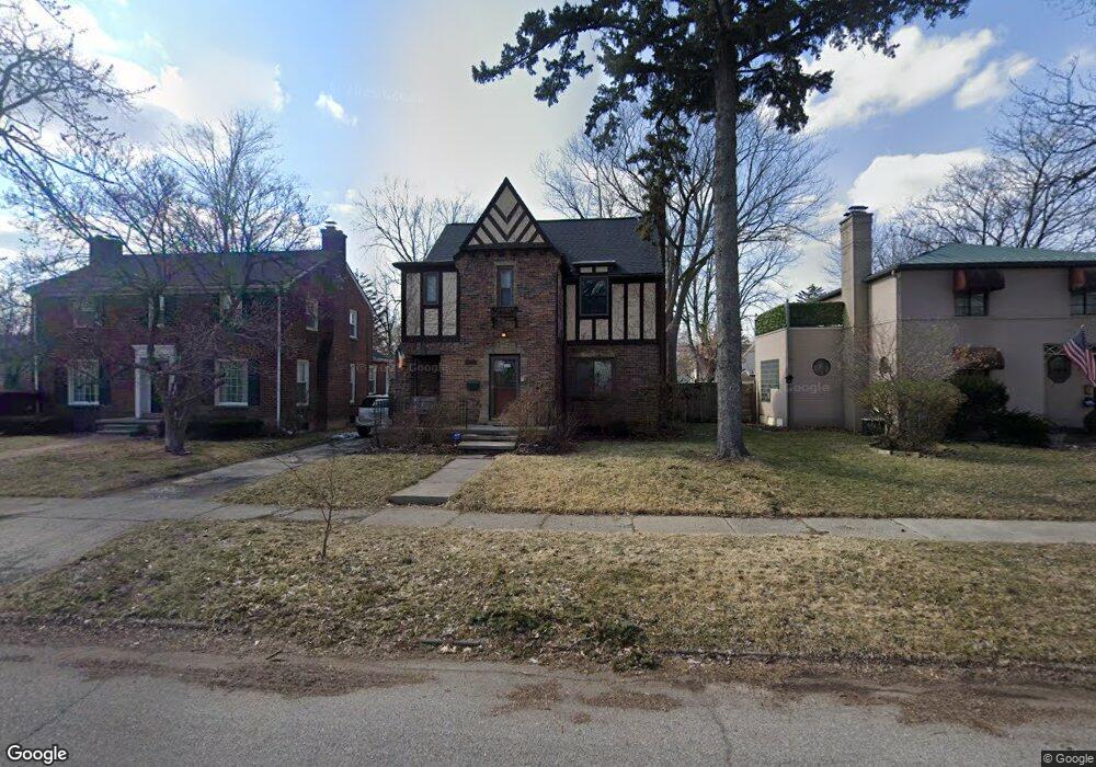
1022 Maxine St Flint, MI 48503
College Cultural Neighborhood NeighborhoodEstimated Value: $171,620 - $218,000
3
Beds
2
Baths
1,686
Sq Ft
$116/Sq Ft
Est. Value
About This Home
This home is located at 1022 Maxine St, Flint, MI 48503 and is currently estimated at $194,905, approximately $115 per square foot. 1022 Maxine St is a home located in Genesee County with nearby schools including Pierce Elementary School, Flint Southwestern Classical Academy, and Flint Cultural Center Academy.
Ownership History
Date
Name
Owned For
Owner Type
Purchase Details
Closed on
May 8, 2009
Sold by
Wells Fargo Bank Na
Bought by
Department Of Veterans Affairs
Current Estimated Value
Purchase Details
Closed on
Apr 29, 2009
Sold by
Robinette Ronald and Robinette Christine
Bought by
Wells Fargo Bank Na
Purchase Details
Closed on
Feb 26, 2002
Sold by
Howie Thomas E and Howie Patricia A
Bought by
Robinette Ronald and Robinette Christine
Create a Home Valuation Report for This Property
The Home Valuation Report is an in-depth analysis detailing your home's value as well as a comparison with similar homes in the area
Home Values in the Area
Average Home Value in this Area
Purchase History
| Date | Buyer | Sale Price | Title Company |
|---|---|---|---|
| Department Of Veterans Affairs | -- | None Available | |
| Wells Fargo Bank Na | $79,317 | None Available | |
| Robinette Ronald | $139,000 | Metropolitan Title Company |
Source: Public Records
Tax History
| Year | Tax Paid | Tax Assessment Tax Assessment Total Assessment is a certain percentage of the fair market value that is determined by local assessors to be the total taxable value of land and additions on the property. | Land | Improvement |
|---|---|---|---|---|
| 2025 | $1,755 | $81,900 | $0 | $0 |
| 2024 | $1,563 | $78,400 | $0 | $0 |
| 2023 | $1,520 | $64,600 | $0 | $0 |
| 2022 | $0 | $54,400 | $0 | $0 |
| 2021 | $1,598 | $51,700 | $0 | $0 |
| 2020 | $1,414 | $48,800 | $0 | $0 |
| 2019 | $1,361 | $40,800 | $0 | $0 |
| 2018 | $1,419 | $31,900 | $0 | $0 |
| 2017 | $1,373 | $0 | $0 | $0 |
| 2016 | $1,363 | $0 | $0 | $0 |
| 2015 | -- | $0 | $0 | $0 |
| 2014 | -- | $0 | $0 | $0 |
| 2012 | -- | $30,500 | $30,500 | $0 |
Source: Public Records
Map
Nearby Homes
- 1210 Blanchard Ave
- 1510 S Franklin Ave
- 915 E 8th St
- 1114 W Vernon Dr
- 911 E 7th St
- 2013 E Court St
- 915 E Court #206 St Unit 206
- 915 E Court St
- 2119 Mountain Ave
- 1701 Park St
- 1720 Park St
- 605 S Lynch St
- 710 Pierson St
- 621 Pierson St
- 1851 Seymour Ave
- 420 S Lynch St
- 407 E 12th St
- 301 Chandler St
- 2010 Crocker Ave
- 1814 Mcphail St
Your Personal Tour Guide
Ask me questions while you tour the home.