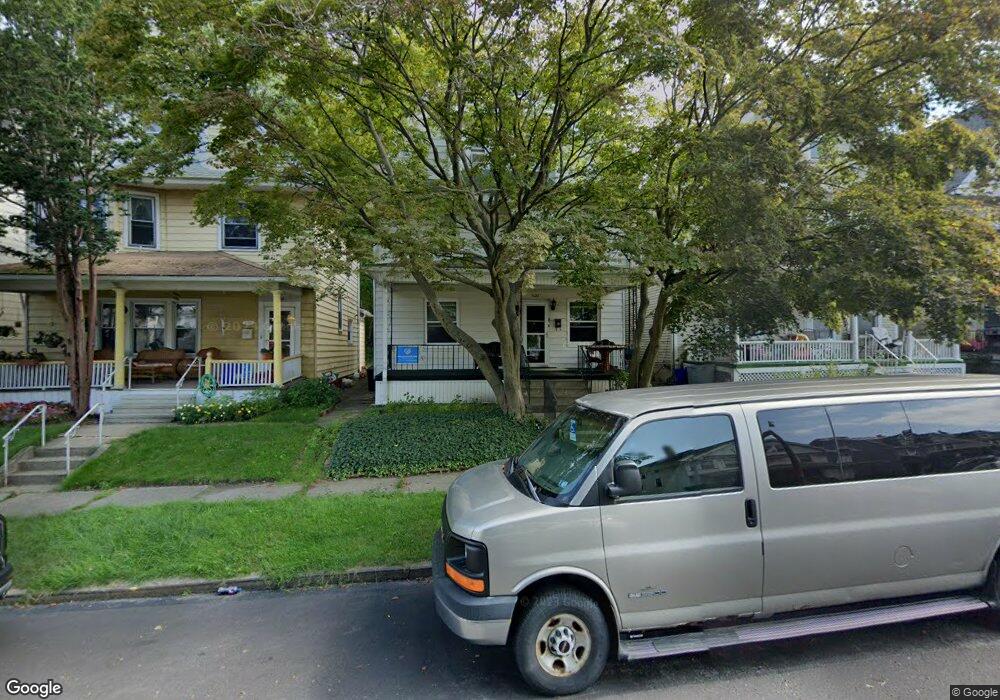
1022 Monroe Ave Scranton, PA 18510
Hill Section NeighborhoodEstimated Value: $151,567 - $332,000
5
Beds
3
Baths
1,695
Sq Ft
$155/Sq Ft
Est. Value
About This Home
This home is located at 1022 Monroe Ave, Scranton, PA 18510 and is currently estimated at $263,142, approximately $155 per square foot. 1022 Monroe Ave is a home located in Lackawanna County with nearby schools including Highland Springs Elementary School, Pinchbeck Elementary School, and John Adams Elementary School.
Ownership History
Date
Name
Owned For
Owner Type
Purchase Details
Closed on
Jun 2, 2011
Sold by
Hehman Francis T and Hehman Carole B
Bought by
Morrison James L and Morrison Mary
Current Estimated Value
Home Financials for this Owner
Home Financials are based on the most recent Mortgage that was taken out on this home.
Original Mortgage
$139,127
Outstanding Balance
$96,450
Interest Rate
4.75%
Mortgage Type
FHA
Estimated Equity
$166,692
Create a Home Valuation Report for This Property
The Home Valuation Report is an in-depth analysis detailing your home's value as well as a comparison with similar homes in the area
Home Values in the Area
Average Home Value in this Area
Purchase History
| Date | Buyer | Sale Price | Title Company |
|---|---|---|---|
| Morrison James L | $159,000 | None Available |
Source: Public Records
Mortgage History
| Date | Status | Borrower | Loan Amount |
|---|---|---|---|
| Open | Morrison James L | $139,127 |
Source: Public Records
Tax History Compared to Growth
Tax History
| Year | Tax Paid | Tax Assessment Tax Assessment Total Assessment is a certain percentage of the fair market value that is determined by local assessors to be the total taxable value of land and additions on the property. | Land | Improvement |
|---|---|---|---|---|
| 2025 | $5,037 | $14,500 | $4,200 | $10,300 |
| 2024 | $4,628 | $14,500 | $4,200 | $10,300 |
| 2023 | $4,628 | $14,500 | $4,200 | $10,300 |
| 2022 | $4,527 | $14,500 | $4,200 | $10,300 |
| 2021 | $4,527 | $14,500 | $4,200 | $10,300 |
| 2020 | $4,449 | $14,500 | $4,200 | $10,300 |
| 2019 | $4,193 | $14,500 | $4,200 | $10,300 |
| 2018 | $4,193 | $14,500 | $4,200 | $10,300 |
| 2017 | $4,125 | $14,500 | $4,200 | $10,300 |
| 2016 | $1,497 | $14,500 | $4,200 | $10,300 |
| 2015 | $3,162 | $14,500 | $4,200 | $10,300 |
| 2014 | -- | $14,500 | $4,200 | $10,300 |
Source: Public Records
Map
Nearby Homes
- 1105 Quincy Ave
- 1028-1030 Madison Ave
- 1018 Madison Ave
- 1119 1121 Monroe Ave
- 929 Monroe Ave
- 1210 Monroe Ave
- 615-617 Quincy Ave
- 825 827 Quincy Ave Unit 825-827
- 832 Monroe Ave
- 139 William St
- 917 Taylor Ave
- 900 Taylor Ave
- 1406 Ash St
- 1207 N Webster Ave
- 1017 Prescott Ave
- 805-807 N Irving Ave
- 826 N Irving Ave
- 640 Jefferson Ave
- 627 S Blakely St
- 621 Madison Ave Unit 623
- 1024 Monroe Ave
- 1026 Monroe Ave Unit L26
- 1018 Monroe Ave
- 1016 Monroe Ave
- 1012 Monroe Ave
- 1010 Monroe Ave Unit 1
- 1010 Monroe Ave
- 1027 Quincy Ave
- 1031 Quincy Ave
- 1034 Monroe Ave Unit 1036
- 910 Poplar St
- 912 Poplar St
- 1035 Quincy Ave
- 1017 Quincy Ave
- 1039 Quincy Ave
- 1004 Monroe Ave
- 1011 Quincy Ave
- 1023 Quincy Ave
- 1025 Monroe Ave
- 1029 Monroe Ave