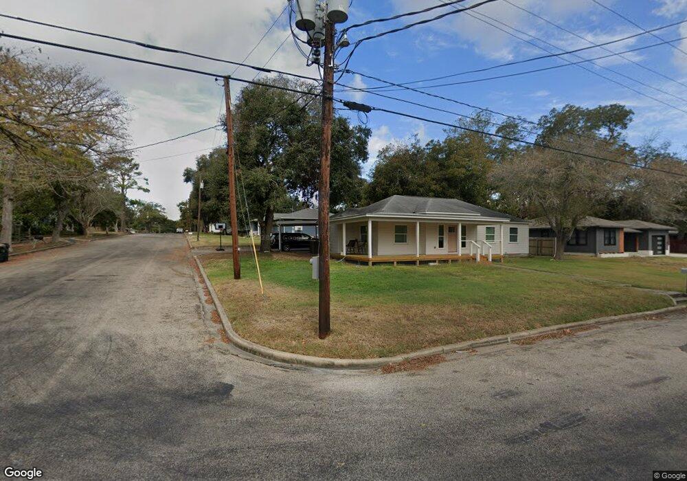
1022 N Avenue F Shiner, TX 77984
Estimated Value: $211,200 - $235,000
3
Beds
1
Bath
1,371
Sq Ft
$162/Sq Ft
Est. Value
About This Home
This home is located at 1022 N Avenue F, Shiner, TX 77984 and is currently estimated at $221,550, approximately $161 per square foot. 1022 N Avenue F is a home located in Lavaca County with nearby schools including Shiner Elementary School, Shiner High School, and Shiner Catholic School.
Ownership History
Date
Name
Owned For
Owner Type
Purchase Details
Closed on
Apr 10, 2019
Sold by
Koerth Jerome and Koerth Debra
Bought by
Koerth Leslie Joseph
Current Estimated Value
Purchase Details
Closed on
Jun 29, 2007
Sold by
Christian James W and Christian Elizabeth
Bought by
Endicott Antoinette M
Home Financials for this Owner
Home Financials are based on the most recent Mortgage that was taken out on this home.
Original Mortgage
$99,365
Interest Rate
6.37%
Mortgage Type
Purchase Money Mortgage
Create a Home Valuation Report for This Property
The Home Valuation Report is an in-depth analysis detailing your home's value as well as a comparison with similar homes in the area
Home Values in the Area
Average Home Value in this Area
Purchase History
| Date | Buyer | Sale Price | Title Company |
|---|---|---|---|
| Koerth Leslie Joseph | -- | None Available | |
| Endicott Antoinette M | $68,500 | -- |
Source: Public Records
Mortgage History
| Date | Status | Borrower | Loan Amount |
|---|---|---|---|
| Previous Owner | Endicott Antoinette M | $99,365 |
Source: Public Records
Tax History Compared to Growth
Tax History
| Year | Tax Paid | Tax Assessment Tax Assessment Total Assessment is a certain percentage of the fair market value that is determined by local assessors to be the total taxable value of land and additions on the property. | Land | Improvement |
|---|---|---|---|---|
| 2024 | $2,253 | $170,479 | $38,363 | $132,116 |
| 2023 | $2,081 | $161,962 | $33,872 | $128,090 |
| 2022 | $2,138 | $146,276 | $27,123 | $119,153 |
| 2021 | $2,140 | $128,527 | $27,123 | $101,404 |
| 2020 | $1,810 | $97,180 | $23,394 | $73,786 |
| 2018 | $1,616 | $81,684 | $24,748 | $56,936 |
| 2017 | $1,431 | $76,790 | $24,503 | $52,287 |
| 2016 | $1,275 | $77,752 | $24,503 | $53,249 |
| 2015 | -- | $65,188 | $7,125 | $58,063 |
| 2014 | -- | $65,188 | $7,125 | $58,063 |
Source: Public Records
Map
Nearby Homes
- TBD Highway 90 Alternate
- 1205 N Avenue G
- 912 N Avenue G
- 1120 N Avenue D
- 2978 Farm To Market Road 1891
- 1322 N Avenue F
- 121 E 15th St
- 1514 North Ave E
- 403 E 13th St
- 122 North Ave E
- 421 E 13th St
- 421 N Avenue G
- 222 August Ave
- 204 N Avenue F
- 1515 Moulton St
- 409 N Pannewitz St
- 000 Us Hwy 90
- 714 Louisiana Ave
- 913 S Welhausen Ave
- CR 359A Tract 6
- 1022 W Avenue F
- 1016 N Avenue F
- 1015 N Avenue G
- 211 W 10th St
- 1023 N Avenue G
- 210 E 10th St
- 117 W 10th St
- 1009 N Avenue G
- 1016 N Avenue E
- 215 W 10th St
- 115 W 11th St
- 1003 Ave G
- 1003 N Avenue G
- 1022 N Avenue G
- 1006 N Avenue E
- 1104 N Avenue G
- 1006 N Avenue G
- 922 N Avenue F
- 1014 N Avenue G
- 921 N Avenue F