1022 N Branch Rd McDonald, PA 15057
Robinson Township NeighborhoodEstimated Value: $446,000 - $906,907
4
Beds
3
Baths
3,801
Sq Ft
$183/Sq Ft
Est. Value
About This Home
This home is located at 1022 N Branch Rd, McDonald, PA 15057 and is currently estimated at $695,477, approximately $182 per square foot. 1022 N Branch Rd is a home located in Washington County with nearby schools including Fort Cherry Elementary Center and Fort Cherry Junior-Senior High School.
Ownership History
Date
Name
Owned For
Owner Type
Purchase Details
Closed on
Sep 20, 2006
Sold by
Lorenzo Richard C
Bought by
Tedone Calvin L
Current Estimated Value
Home Financials for this Owner
Home Financials are based on the most recent Mortgage that was taken out on this home.
Original Mortgage
$372,400
Outstanding Balance
$222,052
Interest Rate
6.54%
Mortgage Type
New Conventional
Estimated Equity
$473,425
Purchase Details
Closed on
Jan 23, 2004
Sold by
Lauff Stanley
Bought by
Lorenzo Richard
Home Financials for this Owner
Home Financials are based on the most recent Mortgage that was taken out on this home.
Original Mortgage
$33,750
Interest Rate
5.82%
Mortgage Type
New Conventional
Create a Home Valuation Report for This Property
The Home Valuation Report is an in-depth analysis detailing your home's value as well as a comparison with similar homes in the area
Home Values in the Area
Average Home Value in this Area
Purchase History
| Date | Buyer | Sale Price | Title Company |
|---|---|---|---|
| Tedone Calvin L | $465,500 | -- | |
| Lorenzo Richard | $45,000 | -- |
Source: Public Records
Mortgage History
| Date | Status | Borrower | Loan Amount |
|---|---|---|---|
| Open | Tedone Calvin L | $372,400 | |
| Previous Owner | Lorenzo Richard | $33,750 |
Source: Public Records
Tax History Compared to Growth
Tax History
| Year | Tax Paid | Tax Assessment Tax Assessment Total Assessment is a certain percentage of the fair market value that is determined by local assessors to be the total taxable value of land and additions on the property. | Land | Improvement |
|---|---|---|---|---|
| 2025 | $8,851 | $451,500 | $50,000 | $401,500 |
| 2024 | $8,086 | $451,500 | $50,000 | $401,500 |
| 2023 | $8,086 | $451,500 | $50,000 | $401,500 |
| 2022 | $8,086 | $451,500 | $50,000 | $401,500 |
| 2021 | $7,591 | $451,500 | $50,000 | $401,500 |
| 2020 | $7,399 | $451,500 | $50,000 | $401,500 |
| 2019 | $7,234 | $451,500 | $50,000 | $401,500 |
| 2018 | $6,840 | $451,500 | $50,000 | $401,500 |
| 2017 | $874 | $440,600 | $39,100 | $401,500 |
| 2016 | $874 | $35,094 | $5,671 | $29,423 |
| 2015 | -- | $35,094 | $5,671 | $29,423 |
| 2014 | $874 | $35,094 | $5,671 | $29,423 |
| 2013 | $874 | $35,094 | $5,671 | $29,423 |
Source: Public Records
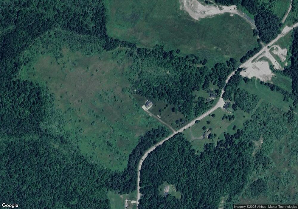
Map
Nearby Homes
- 10 Fieldcrest Dr
- 800 N Branch Rd
- 407 Commodore Dr
- 750 N Branch Rd
- 113 Commodore Dr
- 000 Seabright Rd
- 00 Seabright Rd
- 120 High St
- 511 Fannie Street Extension
- 1218 Sunset Dr
- 211 Fairmont St
- 208 Fairmont St
- 1322 Hidden Valley Rd
- 1352 Hilltop Dr
- 303 North Ave
- 1328 Hidden Valley Rd
- 1410 Hidden Valley Rd
- 1414 Hidden Valley Rd
- 1340 Hilltop Dr
- 1406 Hidden Valley Rd
- 1002 N Branch Rd
- 1021 N Branch Rd
- 1113 N Branch Rd
- 1124 N Branch Rd
- 1124 N Branch
- 1130 N Branch Rd
- 1137 N Branch Rd
- 1138 N Branch Rd
- 1160 N Branch Rd
- 1104 Robinson Hwy
- 1154 Robinson Hwy
- 1116 Robinson Hwy
- 1150 Robinson Hwy
- 1055 Robinson Hwy
- 1113 Robinson Hwy
- 1170 Robinson Hwy
- 1121 Robinson Hwy
- 1109 Robinson Hwy
- 1103 Robinson Hwy
- 1129 Robinson Hwy