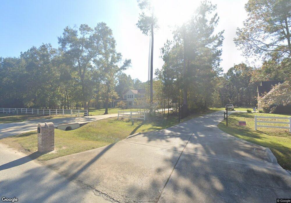
1022 N Commons View Dr Huffman, TX 77336
Estimated Value: $607,000 - $692,889
3
Beds
4
Baths
3,453
Sq Ft
$186/Sq Ft
Est. Value
About This Home
This home is located at 1022 N Commons View Dr, Huffman, TX 77336 and is currently estimated at $642,472, approximately $186 per square foot. 1022 N Commons View Dr is a home located in Harris County with nearby schools including Huffman Elementary School, Huffman Middle School, and Hargrave High School.
Ownership History
Date
Name
Owned For
Owner Type
Purchase Details
Closed on
Mar 21, 2013
Sold by
Commons Of Lake Houston Ltd
Bought by
Sullivan David and Sullivan Shauna
Current Estimated Value
Home Financials for this Owner
Home Financials are based on the most recent Mortgage that was taken out on this home.
Original Mortgage
$37,905
Interest Rate
3.59%
Mortgage Type
New Conventional
Purchase Details
Closed on
Apr 13, 2012
Sold by
Priutt Henry A and Vinatage Builders Inc
Bought by
The Commons Of Lake Houston Ltd
Create a Home Valuation Report for This Property
The Home Valuation Report is an in-depth analysis detailing your home's value as well as a comparison with similar homes in the area
Home Values in the Area
Average Home Value in this Area
Purchase History
| Date | Buyer | Sale Price | Title Company |
|---|---|---|---|
| Sullivan David | -- | Alamo Title Co | |
| The Commons Of Lake Houston Ltd | $64,638 | None Available |
Source: Public Records
Mortgage History
| Date | Status | Borrower | Loan Amount |
|---|---|---|---|
| Open | Sullivan David | $37,905 |
Source: Public Records
Tax History Compared to Growth
Tax History
| Year | Tax Paid | Tax Assessment Tax Assessment Total Assessment is a certain percentage of the fair market value that is determined by local assessors to be the total taxable value of land and additions on the property. | Land | Improvement |
|---|---|---|---|---|
| 2025 | $10,666 | $596,842 | $120,964 | $475,878 |
| 2024 | $10,666 | $594,137 | $120,964 | $473,173 |
| 2023 | $10,666 | $663,650 | $94,083 | $569,567 |
| 2022 | $11,805 | $562,331 | $80,643 | $481,688 |
| 2021 | $11,390 | $463,166 | $67,202 | $395,964 |
| 2020 | $11,115 | $430,051 | $67,202 | $362,849 |
| 2019 | $10,510 | $428,799 | $75,060 | $353,739 |
| 2018 | $5,099 | $364,190 | $62,033 | $302,157 |
| 2017 | $9,548 | $364,190 | $62,033 | $302,157 |
| 2016 | $1,355 | $51,694 | $51,694 | $0 |
| 2015 | $1,034 | $38,771 | $38,771 | $0 |
| 2014 | $1,034 | $38,771 | $38,771 | $0 |
Source: Public Records
Map
Nearby Homes
- 1018 N Commons View Dr
- 1114 S Commons View Dr
- 1018 Winchester Bend
- 1135 Magnolia Point Dr
- 576 Magnolia Point Dr
- 320 Emerald Thicket Ln
- 731 Magnolia Point Dr
- 729 Magnolia Point Dr
- 28502 Tallow Rock Ln
- 28506 Tallow Rock Ln
- 578 Magnolia Point Dr
- 1057 Magnolia Point Dr
- 1003 Commons Waterway
- 28510 Lazy Rock Dr
- 538 Magnolia Point Dr
- 551 White Oak Dr
- 00 Pin Oak Ln
- 28603 Riverside Crest Ln
- 00 White Oak Dr
- 1114 Commons Waterway
- 1026 N Commons View Dr
- 1014 N Commons View Dr
- 1102 N Commons View
- 1027 N Commons View Dr
- 1103 S Commons View Dr
- 1115 S Commons View Dr
- 1107 N Commons View Dr
- 1011 S Commons View Dr
- 1007 S Commons View Dr
- 1015 N Commons View Dr
- 1003 S Commons View Dr
- 1002 N Commons View Dr
- 1011 N Commons View Dr
- 1123 N Commons View
- 1007 N Commons View Dr
- 1115 N Commons View Dr
- 28511 Yonder Way
- 1123 S Commons View Dr
- 1106 S Commons View Dr
- 1026 S Commons View Dr