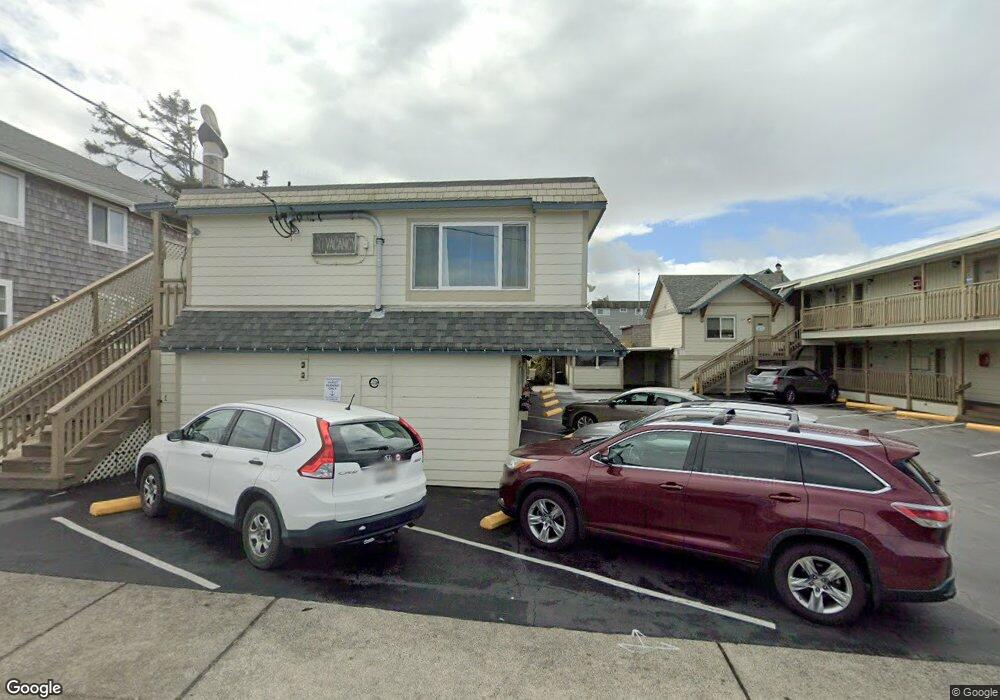
1022 N Prom Unit 210 Seaside, OR 97138
Estimated Value: $159,000 - $226,000
1
Bed
1
Bath
370
Sq Ft
$532/Sq Ft
Est. Value
About This Home
This home is located at 1022 N Prom Unit 210, Seaside, OR 97138 and is currently estimated at $196,691, approximately $531 per square foot. 1022 N Prom Unit 210 is a home located in Clatsop County with nearby schools including Seaside High School.
Ownership History
Date
Name
Owned For
Owner Type
Purchase Details
Closed on
Jun 3, 2020
Sold by
Luong Peter
Bought by
Jondrow Michael David and Le Ky Tanya
Current Estimated Value
Purchase Details
Closed on
Mar 6, 2017
Sold by
Hoven Brian M
Bought by
Luong Peter
Purchase Details
Closed on
May 15, 2012
Sold by
Miller Michael H and Miller Fran J
Bought by
Hoven Michael S
Purchase Details
Closed on
Jun 22, 2006
Sold by
Watson Lois M
Bought by
Miller Fran J and Miller Michael H
Home Financials for this Owner
Home Financials are based on the most recent Mortgage that was taken out on this home.
Original Mortgage
$66,400
Interest Rate
6.57%
Mortgage Type
Unknown
Create a Home Valuation Report for This Property
The Home Valuation Report is an in-depth analysis detailing your home's value as well as a comparison with similar homes in the area
Home Values in the Area
Average Home Value in this Area
Purchase History
| Date | Buyer | Sale Price | Title Company |
|---|---|---|---|
| Jondrow Michael David | $143,000 | Ticor Title Ins | |
| Luong Peter | $70,000 | Ticor Title Company Of Or | |
| Hoven Michael S | $65,000 | Ticor Title Ins Co | |
| Miller Fran J | $83,000 | Ticor Title Ins Co |
Source: Public Records
Mortgage History
| Date | Status | Borrower | Loan Amount |
|---|---|---|---|
| Previous Owner | Miller Fran J | $66,400 |
Source: Public Records
Tax History Compared to Growth
Tax History
| Year | Tax Paid | Tax Assessment Tax Assessment Total Assessment is a certain percentage of the fair market value that is determined by local assessors to be the total taxable value of land and additions on the property. | Land | Improvement |
|---|---|---|---|---|
| 2024 | $1,292 | $89,944 | -- | -- |
| 2023 | $1,254 | $87,325 | $0 | $0 |
| 2022 | $1,220 | $84,782 | $0 | $0 |
| 2021 | $1,194 | $82,313 | $0 | $0 |
| 2020 | $1,166 | $79,916 | $0 | $0 |
| 2019 | $1,134 | $77,589 | $0 | $0 |
| 2018 | $1,089 | $75,330 | $0 | $0 |
| 2017 | $1,039 | $73,136 | $0 | $0 |
| 2016 | $884 | $71,006 | $0 | $71,006 |
| 2015 | $872 | $68,938 | $0 | $68,938 |
| 2014 | $871 | $66,931 | $0 | $0 |
| 2013 | -- | $64,982 | $0 | $0 |
Source: Public Records
Map
Nearby Homes
- 1022 N Prom Unit 207
- 1022 N Prom Unit 201
- 1022 N Prom Unit 206
- 1022 N Prom Unit 209
- 0 Tradewinds Condo Unit 16-1531
- 0 Tradewinds Condo Unit 17-433
- 0 Tradewinds Condo Unit 20-435
- 0 Tradewinds Condo Unit 208 17124872
- 0 Tradewinds Condo Unit 210 16146393
- 0 Tradewinds Condo Unit 203 16484755
- 0 Tradewinds Condo Unit 210 20172125
- 1022 N Prom #203 Unit 203
- 1012 N Prom
- 1022 N Promtradewinds Condo Unit 210
- 1022 N Promenade Unit 101
- 1022 N Promenade
- 1022 N Promenade Unit 205
- 122 10th Ave
- 122 10th Ave
- -1 10th Ave