1022 N State Route 61 Sunbury, OH 43074
Estimated Value: $763,000
4
Beds
5
Baths
3,742
Sq Ft
$204/Sq Ft
Est. Value
About This Home
This home is located at 1022 N State Route 61, Sunbury, OH 43074 and is currently estimated at $763,000, approximately $203 per square foot. 1022 N State Route 61 is a home with nearby schools including General Rosecrans Elementary School, Big Walnut Intermediate School, and Big Walnut Middle School.
Ownership History
Date
Name
Owned For
Owner Type
Purchase Details
Closed on
Oct 16, 2017
Sold by
Forman Brent A and Forman Laura
Bought by
Tackett Troy and Tackett Kimberly
Current Estimated Value
Home Financials for this Owner
Home Financials are based on the most recent Mortgage that was taken out on this home.
Original Mortgage
$81,450
Outstanding Balance
$56,289
Interest Rate
3.78%
Mortgage Type
New Conventional
Estimated Equity
$706,711
Create a Home Valuation Report for This Property
The Home Valuation Report is an in-depth analysis detailing your home's value as well as a comparison with similar homes in the area
Home Values in the Area
Average Home Value in this Area
Purchase History
| Date | Buyer | Sale Price | Title Company |
|---|---|---|---|
| Tackett Troy | -- | -- |
Source: Public Records
Mortgage History
| Date | Status | Borrower | Loan Amount |
|---|---|---|---|
| Open | Tackett Troy | $81,450 |
Source: Public Records
Tax History Compared to Growth
Tax History
| Year | Tax Paid | Tax Assessment Tax Assessment Total Assessment is a certain percentage of the fair market value that is determined by local assessors to be the total taxable value of land and additions on the property. | Land | Improvement |
|---|---|---|---|---|
| 2024 | $14,196 | $346,290 | $86,730 | $259,560 |
| 2023 | $13,864 | $346,290 | $86,730 | $259,560 |
| 2022 | $9,908 | $215,260 | $68,290 | $146,970 |
| 2021 | $9,958 | $215,260 | $68,290 | $146,970 |
| 2020 | $10,000 | $215,260 | $68,290 | $146,970 |
| 2019 | $5,128 | $106,230 | $56,910 | $49,320 |
| 2018 | $2,918 | $64,120 | $64,120 | $0 |
| 2017 | $199 | $53,550 | $53,550 | $0 |
| 2016 | $265 | $53,550 | $53,550 | $0 |
| 2015 | $267 | $53,550 | $53,550 | $0 |
| 2014 | $277 | $53,550 | $53,550 | $0 |
| 2013 | $122 | $53,550 | $53,550 | $0 |
Source: Public Records
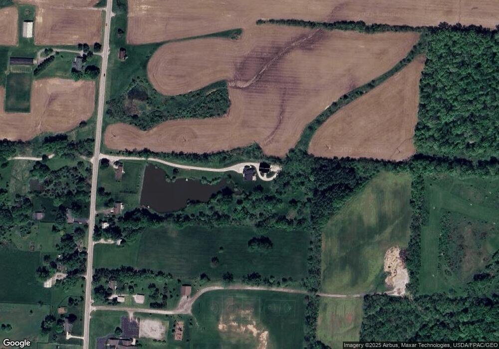
Map
Nearby Homes
- 956 N State Route 61
- 732 N State Route 61
- 202 N Columbus St
- 388 Millers Cove Ct
- 408 Village Ln
- 0 Hartford Rd Unit 8.17 acres 225016432
- 0 Ohio 37 Unit 225026227
- 0 W Cherry St
- 320 E Cherry St
- 285 E Cherry St
- 349 Laurel Ct
- 0 Kintner Pkwy
- 300 Fox Trail Dr
- 8790 Devon Ridge Ct
- 2100 Blayney Rd
- 0 N State Route 61 Unit Lot 2 225027762
- 0 N State Route 61 Unit Lot 3 225027777
- 0 N State Route 61 Unit Lot 4 225027787
- 561 Fields Meadow Dr
- 285 E Granville St
- 980 N State Route 61
- 1020 N State Route 61
- 830 N State Route 61
- 2290 State Route 61
- 3620 State Route 61
- 0-1 State Route 61
- 3500 State Route 61
- 880 N State Route 61
- 927 N State Route 61
- 963 N State Route 61
- 901 N State Route 61
- 1221 N State Route 61
- 811 N State Route 61
- 770 N State Route 61
- 1015 N State Route 61
- 170 Greenbriar Rd
- 186 Greenbriar Rd
- 158 Greenbriar Rd
- 186 Greenbrier Rd
- 200 Greenbriar Rd