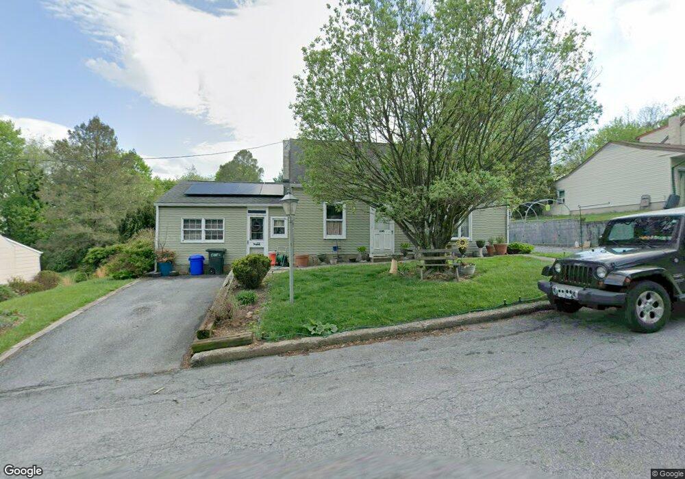
1022 Rick Rd Reading, PA 19605
Bern NeighborhoodEstimated Value: $284,398 - $332,000
3
Beds
1
Bath
1,704
Sq Ft
$185/Sq Ft
Est. Value
About This Home
This home is located at 1022 Rick Rd, Reading, PA 19605 and is currently estimated at $315,100, approximately $184 per square foot. 1022 Rick Rd is a home located in Berks County with nearby schools including Schuylkill Valley Elementary School, Schuylkill Valley Middle School, and Schuylkill Valley High School.
Ownership History
Date
Name
Owned For
Owner Type
Purchase Details
Closed on
Jan 31, 2006
Sold by
Koinski Kristi B
Bought by
Yeshulas Christopher P and Yeshulas Tracey L
Current Estimated Value
Home Financials for this Owner
Home Financials are based on the most recent Mortgage that was taken out on this home.
Original Mortgage
$29,250
Interest Rate
5.76%
Mortgage Type
Stand Alone Second
Purchase Details
Closed on
Jan 7, 2005
Sold by
Koinski Kristi B
Bought by
Koinski Kristi B
Create a Home Valuation Report for This Property
The Home Valuation Report is an in-depth analysis detailing your home's value as well as a comparison with similar homes in the area
Home Values in the Area
Average Home Value in this Area
Purchase History
| Date | Buyer | Sale Price | Title Company |
|---|---|---|---|
| Yeshulas Christopher P | $146,280 | Stewart Abstract | |
| Koinski Kristi B | -- | -- |
Source: Public Records
Mortgage History
| Date | Status | Borrower | Loan Amount |
|---|---|---|---|
| Closed | Yeshulas Christopher P | $29,250 | |
| Open | Yeshulas Christopher P | $117,000 |
Source: Public Records
Tax History Compared to Growth
Tax History
| Year | Tax Paid | Tax Assessment Tax Assessment Total Assessment is a certain percentage of the fair market value that is determined by local assessors to be the total taxable value of land and additions on the property. | Land | Improvement |
|---|---|---|---|---|
| 2025 | $1,546 | $81,700 | $23,400 | $58,300 |
| 2024 | $3,327 | $81,700 | $23,400 | $58,300 |
| 2023 | $3,240 | $81,700 | $23,400 | $58,300 |
| 2022 | $3,240 | $81,700 | $23,400 | $58,300 |
| 2021 | $3,240 | $81,700 | $23,400 | $58,300 |
| 2020 | $3,240 | $81,700 | $23,400 | $58,300 |
| 2019 | $3,159 | $81,700 | $23,400 | $58,300 |
| 2018 | $3,159 | $81,700 | $23,400 | $58,300 |
| 2017 | $3,135 | $81,700 | $23,400 | $58,300 |
| 2016 | $1,042 | $81,700 | $23,400 | $58,300 |
| 2015 | $1,042 | $81,700 | $23,400 | $58,300 |
| 2014 | $1,042 | $81,700 | $23,400 | $58,300 |
Source: Public Records
Map
Nearby Homes
- 1056 W Leesport Rd
- 0 Mccoy Ln Unit PABK2064868
- 1162 Tuckerton Rd
- 1125 Ashbourne Dr
- 463 White Oak Ln
- 2452 Ventnor Ave
- 437 White Oak Ln
- 1105 Showers Ln
- 833 Pine Heights Rd
- 1129 Whitner Rd
- 1041 River Crest Dr
- 1033 Whitford Dr
- 1025 River Crest Dr
- 914 Suellen Dr
- 5213 Stoudts Ferry Bridge Rd
- 1282 Fredrick Blvd Unit 15F
- 1072 Grandell Ave
- 1052 Boeshore Cir
- Lot #4 Rickenbach Rd
- 3706 Rosewood Rd