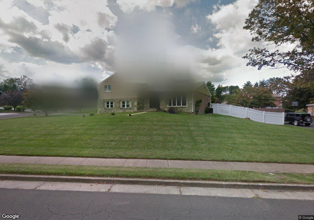
1022 Sheffield Ln Huntingdon Valley, PA 19006
Estimated Value: $661,495 - $829,000
4
Beds
3
Baths
2,684
Sq Ft
$275/Sq Ft
Est. Value
About This Home
This home is located at 1022 Sheffield Ln, Huntingdon Valley, PA 19006 and is currently estimated at $737,624, approximately $274 per square foot. 1022 Sheffield Ln is a home located in Montgomery County with nearby schools including Pine Road Elementary School, Murray Avenue School, and Lower Moreland High School.
Ownership History
Date
Name
Owned For
Owner Type
Purchase Details
Closed on
Oct 16, 2006
Sold by
Pascal Malcolm W and Pascal Marlene W
Bought by
Traktovenko Irene Gorelik and Traktovenko Boris
Current Estimated Value
Home Financials for this Owner
Home Financials are based on the most recent Mortgage that was taken out on this home.
Original Mortgage
$50,000
Outstanding Balance
$29,869
Interest Rate
6.48%
Estimated Equity
$707,755
Create a Home Valuation Report for This Property
The Home Valuation Report is an in-depth analysis detailing your home's value as well as a comparison with similar homes in the area
Home Values in the Area
Average Home Value in this Area
Purchase History
| Date | Buyer | Sale Price | Title Company |
|---|---|---|---|
| Traktovenko Irene Gorelik | $420,000 | None Available |
Source: Public Records
Mortgage History
| Date | Status | Borrower | Loan Amount |
|---|---|---|---|
| Open | Traktovenko Irene Gorelik | $50,000 |
Source: Public Records
Tax History Compared to Growth
Tax History
| Year | Tax Paid | Tax Assessment Tax Assessment Total Assessment is a certain percentage of the fair market value that is determined by local assessors to be the total taxable value of land and additions on the property. | Land | Improvement |
|---|---|---|---|---|
| 2025 | $10,351 | $205,020 | $61,100 | $143,920 |
| 2024 | $10,351 | $205,020 | $61,100 | $143,920 |
| 2023 | $9,893 | $205,020 | $61,100 | $143,920 |
| 2022 | $9,602 | $205,020 | $61,100 | $143,920 |
| 2021 | $9,405 | $205,020 | $61,100 | $143,920 |
| 2020 | $9,125 | $205,020 | $61,100 | $143,920 |
| 2019 | $8,989 | $205,020 | $61,100 | $143,920 |
| 2018 | $1,936 | $205,020 | $61,100 | $143,920 |
| 2017 | $8,478 | $205,020 | $61,100 | $143,920 |
| 2016 | $8,398 | $205,020 | $61,100 | $143,920 |
| 2015 | $7,889 | $205,020 | $61,100 | $143,920 |
| 2014 | $7,889 | $205,020 | $61,100 | $143,920 |
Source: Public Records
Map
Nearby Homes
- 1035 Wright Dr
- 3750 Wheatsheaf Rd
- 3592 Black Angus Dr
- 985 Milkweed Ln
- 1011 Milkweed Rd
- 1291 Mettler Rd
- 3660 Spring Run Rd
- 3530 Greg Ln
- 247 Gravel Hill Rd
- 932 Rozel Ave
- 1439 Byberry Rd
- 697 Provident Rd
- 693 Provident Rd
- 681 Provident Rd
- 634 Nicole Dr
- 3370 Paper Mill Rd
- 1307 Steamboat Station Unit 1307
- 415 New Rd
- 521 Jason Dr
- 561 Zinn Dr
- 3928 Dove Cir
- 3925 Hawk Cir
- 1021 Sheffield Ln
- 992 Sheffield Ln
- 1007 Sheffield Ln
- 1035 Sheffield Ln
- 3914 Dove Cir
- 3927 Dove Cir
- 993 Sheffield Ln
- 3913 Dove Cir
- 3911 Hawk Cir
- 1049 Sheffield Ln
- 978 Sheffield Ln
- 1054 Sheffield Ln
- 3930 Blue Bird Rd
- 3926 Hawk Cir
- 1025 Barnswallow Ln
- 979 Sheffield Ln
- 1039 Barnswallow Ln
- 1107 County Line Rd