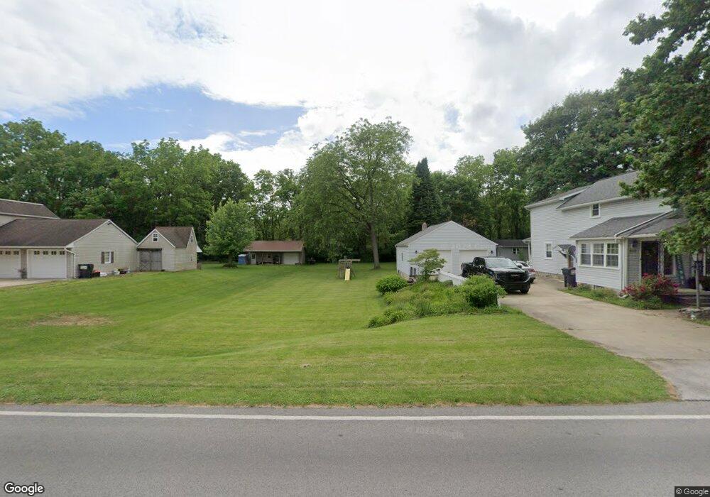
1022 Siler St Fremont, OH 43420
Estimated Value: $253,000 - $836,633
2
Beds
2
Baths
1,720
Sq Ft
$282/Sq Ft
Est. Value
About This Home
This home is located at 1022 Siler St, Fremont, OH 43420 and is currently estimated at $485,878, approximately $282 per square foot. 1022 Siler St is a home located in Sandusky County with nearby schools including Fremont Ross High School, St. Joseph School, and Bishop Hoffman Catholic School - This is St Joe's School now.
Ownership History
Date
Name
Owned For
Owner Type
Purchase Details
Closed on
Feb 20, 2015
Sold by
Lemaitre Gary R and Lemaitre Susan K
Bought by
Amended & Restated Trust Agreement Of Ga and Lemaitre Susan K
Current Estimated Value
Purchase Details
Closed on
Aug 1, 1997
Sold by
Trst Jeffrey D Kosmo
Bought by
Lemaitre Gary R and Lemaitre Susan K
Home Financials for this Owner
Home Financials are based on the most recent Mortgage that was taken out on this home.
Original Mortgage
$155,200
Outstanding Balance
$23,611
Interest Rate
7.71%
Mortgage Type
New Conventional
Estimated Equity
$462,267
Purchase Details
Closed on
Aug 1, 1988
Bought by
Lemaitre Gary R & Susan K Trustees
Create a Home Valuation Report for This Property
The Home Valuation Report is an in-depth analysis detailing your home's value as well as a comparison with similar homes in the area
Home Values in the Area
Average Home Value in this Area
Purchase History
| Date | Buyer | Sale Price | Title Company |
|---|---|---|---|
| Amended & Restated Trust Agreement Of Ga | -- | Attorney | |
| Lemaitre Gary R | $194,000 | -- | |
| Lemaitre Gary R & Susan K Trustees | $100,000 | -- |
Source: Public Records
Mortgage History
| Date | Status | Borrower | Loan Amount |
|---|---|---|---|
| Open | Lemaitre Gary R | $155,200 |
Source: Public Records
Tax History Compared to Growth
Tax History
| Year | Tax Paid | Tax Assessment Tax Assessment Total Assessment is a certain percentage of the fair market value that is determined by local assessors to be the total taxable value of land and additions on the property. | Land | Improvement |
|---|---|---|---|---|
| 2024 | $11,824 | $297,120 | $34,580 | $262,540 |
| 2023 | $11,824 | $241,540 | $28,110 | $213,430 |
| 2022 | $10,260 | $241,540 | $28,110 | $213,430 |
| 2021 | $10,567 | $241,540 | $28,110 | $213,430 |
| 2020 | $10,286 | $230,510 | $25,340 | $205,170 |
| 2019 | $10,276 | $230,510 | $25,340 | $205,170 |
| 2018 | $10,008 | $230,510 | $25,340 | $205,170 |
| 2017 | $9,475 | $217,070 | $25,340 | $191,730 |
| 2016 | $8,333 | $217,070 | $25,340 | $191,730 |
| 2015 | $8,203 | $217,070 | $25,340 | $191,730 |
| 2014 | $7,781 | $197,200 | $23,420 | $173,780 |
| 2013 | $7,621 | $197,200 | $23,420 | $173,780 |
Source: Public Records
Map
Nearby Homes
- 1719 Buckland Ave
- 1485 Autumn Woods Dr
- 1420 Center St
- 10 Meadowbrook Dr
- 10 Meadowbrook Ln
- 64 River Run Dr Unit J
- 1013 Whittlesey St
- 1028 June St
- 905 Twinn St
- 1611 Mcpherson Blvd
- 2484 Buckland Ave
- 135 Briarwood Cir
- 1015 Hayes Ave
- 815 South St
- 616 S Wood St
- 1037 Buckland Ave
- 625 Bush Place
- 619 Hayes Ave
- 1818 Finley Dr
- 350 Conner Dr