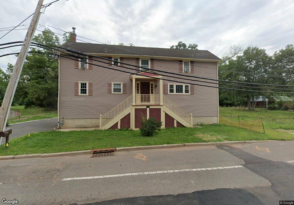
1022 State Route 28 Somerville, NJ 08876
Branchburg Township NeighborhoodEstimated Value: $462,000 - $758,000
3
Beds
2
Baths
2,014
Sq Ft
$271/Sq Ft
Est. Value
About This Home
This home is located at 1022 State Route 28, Somerville, NJ 08876 and is currently estimated at $546,349, approximately $271 per square foot. 1022 State Route 28 is a home located in Somerset County with nearby schools including Whiton Elementary School, Stony Brook School, and Branchburg Central Middle School.
Ownership History
Date
Name
Owned For
Owner Type
Purchase Details
Closed on
Apr 1, 2016
Sold by
Cammarota John and Cammarota Nancy
Bought by
Bea Michael R and Bea Laura M
Current Estimated Value
Home Financials for this Owner
Home Financials are based on the most recent Mortgage that was taken out on this home.
Original Mortgage
$225,000
Outstanding Balance
$179,042
Interest Rate
3.73%
Mortgage Type
New Conventional
Estimated Equity
$367,307
Purchase Details
Closed on
Jan 13, 1993
Sold by
Collity James
Bought by
Cammarota John and Cammarota Nancy
Create a Home Valuation Report for This Property
The Home Valuation Report is an in-depth analysis detailing your home's value as well as a comparison with similar homes in the area
Home Values in the Area
Average Home Value in this Area
Purchase History
| Date | Buyer | Sale Price | Title Company |
|---|---|---|---|
| Bea Michael R | $250,000 | None Available | |
| Cammarota John | $143,000 | -- |
Source: Public Records
Mortgage History
| Date | Status | Borrower | Loan Amount |
|---|---|---|---|
| Open | Bea Michael R | $225,000 |
Source: Public Records
Tax History Compared to Growth
Tax History
| Year | Tax Paid | Tax Assessment Tax Assessment Total Assessment is a certain percentage of the fair market value that is determined by local assessors to be the total taxable value of land and additions on the property. | Land | Improvement |
|---|---|---|---|---|
| 2025 | $5,468 | $332,500 | $95,300 | $237,200 |
| 2024 | $5,468 | $303,100 | $95,300 | $207,800 |
| 2023 | $5,364 | $286,700 | $95,300 | $191,400 |
| 2022 | $3,536 | $179,600 | $95,300 | $84,300 |
| 2021 | $5,573 | $263,600 | $95,300 | $168,300 |
| 2020 | $5,418 | $252,800 | $95,300 | $157,500 |
| 2019 | $5,260 | $244,100 | $89,000 | $155,100 |
| 2018 | $5,225 | $241,800 | $89,000 | $152,800 |
| 2017 | $5,246 | $241,100 | $89,000 | $152,100 |
| 2016 | $5,357 | $244,600 | $89,000 | $155,600 |
| 2015 | $5,616 | $256,900 | $86,300 | $170,600 |
| 2014 | $5,590 | $258,800 | $86,300 | $172,500 |
Source: Public Records
Map
Nearby Homes
- 1114 State Route 28
- 61 Waugh Ct
- 1135 State Route 28
- 2 Dumont Ct
- 319 Hannah Way
- 596 Meadow Rd
- 2 Eckles Dr
- 48 Reinhart Way
- 265 Riverview Dr
- 351 Route 28
- 4101 Dilts Ln
- 507 Dunn Cir
- 43 Wexford Way
- 684 N View Dr
- 4703 Patterson St Unit 47
- 19 Craft Farm Dr
- 67 Shaffer Rd
- 405 Porter Way W
- 2008 Ackmen Ct
- 501 Reading Cir
- 1022 New Jersey 28
- 1024 N Route 28 Branchburg
- 1024 New Jersey 28
- 1024 State Route 28
- 1024 State Route 28
- 1026 State Route 28
- 1005 State Route 28
- 1005 Highway 28
- 1030 State Route 28
- 1030 New Jersey 28
- 1007 State Route 28
- 201 Vanderveer Ave
- 1036 State Route 28
- 1036 New Jersey 28
- 1037 Highway 28 Unit GS1
- 1037 Highway 28 Unit 3
- 1037 Highway 28 Unit 2
- 1037 Highway 28
- 1037 Highway 28
- 1037 Easton Turnpike