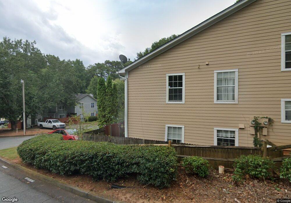
1022 Thornfield Ct Norcross, GA 30093
Estimated Value: $221,000 - $268,000
3
Beds
3
Baths
1,536
Sq Ft
$156/Sq Ft
Est. Value
About This Home
This home is located at 1022 Thornfield Ct, Norcross, GA 30093 and is currently estimated at $239,727, approximately $156 per square foot. 1022 Thornfield Ct is a home located in Gwinnett County with nearby schools including Ferguson Elementary School, Louise Radloff Middle School, and Meadowcreek High School.
Ownership History
Date
Name
Owned For
Owner Type
Purchase Details
Closed on
Mar 31, 2001
Sold by
Mitchell Don W
Bought by
Bates Loretta
Current Estimated Value
Home Financials for this Owner
Home Financials are based on the most recent Mortgage that was taken out on this home.
Original Mortgage
$94,500
Interest Rate
10.88%
Mortgage Type
New Conventional
Create a Home Valuation Report for This Property
The Home Valuation Report is an in-depth analysis detailing your home's value as well as a comparison with similar homes in the area
Home Values in the Area
Average Home Value in this Area
Purchase History
| Date | Buyer | Sale Price | Title Company |
|---|---|---|---|
| Bates Loretta | $105,000 | -- |
Source: Public Records
Mortgage History
| Date | Status | Borrower | Loan Amount |
|---|---|---|---|
| Previous Owner | Bates Loretta | $94,500 |
Source: Public Records
Tax History Compared to Growth
Tax History
| Year | Tax Paid | Tax Assessment Tax Assessment Total Assessment is a certain percentage of the fair market value that is determined by local assessors to be the total taxable value of land and additions on the property. | Land | Improvement |
|---|---|---|---|---|
| 2025 | $777 | $112,920 | $14,000 | $98,920 |
| 2024 | $2,884 | $106,240 | $14,000 | $92,240 |
| 2023 | $2,884 | $94,800 | $12,000 | $82,800 |
| 2022 | $2,254 | $77,640 | $8,000 | $69,640 |
| 2021 | $1,947 | $61,560 | $8,000 | $53,560 |
| 2020 | $1,873 | $57,560 | $6,600 | $50,960 |
| 2019 | $1,678 | $50,560 | $6,600 | $43,960 |
| 2018 | $1,471 | $41,240 | $6,600 | $34,640 |
| 2016 | $1,006 | $26,760 | $4,800 | $21,960 |
| 2015 | $837 | $21,720 | $4,000 | $17,720 |
| 2014 | -- | $21,720 | $4,000 | $17,720 |
Source: Public Records
Map
Nearby Homes
- 1066 Rock Creek Ln
- 1037 Dover Way
- 1097 Rock Creek Ln
- 1049 Knights Bridge Ct
- 4608 Warners Trail Unit 3
- 5016 Comanche Ct NW
- 1451 Indian Way NW
- 1411 Indian Way NW
- 5148 Whited Way NW Unit 1
- 1020 Park Forest Dr NW
- 4652 Parklake Ct
- 5181 Cold Springs Dr NW
- 1060 Heatherwood Ct
- 1360 Dickens Rd NW
- 1014 Brockdell Ct
- 862 Brandlwood Way NW Unit 2
- 1470 Hillcrest Rd
- 849 Cadet Ct NW
- 1007 Mansfield Ct Unit 1007
- 1077 Rock Creek Ln
- 1093 Way Unit 1093
- 999 Linwood Trace
- 996 Wuthering Way Unit 996
- 1065 Rock Creek Ln
- 1065 Rock Creek Ln
- 1077 Mansfield Ct
- 1078 Mansfield Ct
- 4878 Westridge Dr
- 1059 Knights Bridge Ct
- 1056 Rock Creek Ln Unit 1056
- 1056 Rock Creek Ln
- 1007 Dover Way Unit 33
- 1007 Dover Way
- 962 Wuthering Way
- 4805 Westridge Dr
- 1066 Rock Creek Ln Unit 1066
- 1066 Rock Creek Ln
- 1067 Dover Way