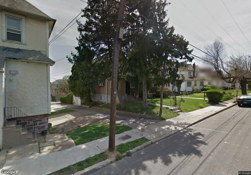
1022 Whitby Ave Lansdowne, PA 19050
Estimated Value: $226,000 - $264,000
3
Beds
2
Baths
1,546
Sq Ft
$162/Sq Ft
Est. Value
About This Home
This home is located at 1022 Whitby Ave, Lansdowne, PA 19050 and is currently estimated at $249,957, approximately $161 per square foot. 1022 Whitby Ave is a home located in Delaware County with nearby schools including Evans Elementary School, Penn Wood Middle School, and Penn Wood High School - Cypress Street Campus.
Ownership History
Date
Name
Owned For
Owner Type
Purchase Details
Closed on
May 30, 2008
Sold by
Byrne Michael F and Byrne Dolores C
Bought by
Cheeseboro Demetrius
Current Estimated Value
Home Financials for this Owner
Home Financials are based on the most recent Mortgage that was taken out on this home.
Original Mortgage
$131,575
Outstanding Balance
$83,825
Interest Rate
5.91%
Mortgage Type
Purchase Money Mortgage
Estimated Equity
$166,132
Create a Home Valuation Report for This Property
The Home Valuation Report is an in-depth analysis detailing your home's value as well as a comparison with similar homes in the area
Home Values in the Area
Average Home Value in this Area
Purchase History
| Date | Buyer | Sale Price | Title Company |
|---|---|---|---|
| Cheeseboro Demetrius | $138,500 | First American Title Ins Co |
Source: Public Records
Mortgage History
| Date | Status | Borrower | Loan Amount |
|---|---|---|---|
| Open | Cheeseboro Demetrius | $131,575 |
Source: Public Records
Tax History Compared to Growth
Tax History
| Year | Tax Paid | Tax Assessment Tax Assessment Total Assessment is a certain percentage of the fair market value that is determined by local assessors to be the total taxable value of land and additions on the property. | Land | Improvement |
|---|---|---|---|---|
| 2025 | $4,903 | $114,810 | $34,740 | $80,070 |
| 2024 | $4,903 | $114,810 | $34,740 | $80,070 |
| 2023 | $4,452 | $114,810 | $34,740 | $80,070 |
| 2022 | $4,246 | $114,810 | $34,740 | $80,070 |
| 2021 | $6,420 | $114,810 | $34,740 | $80,070 |
| 2020 | $4,365 | $69,900 | $20,050 | $49,850 |
| 2019 | $4,288 | $69,900 | $20,050 | $49,850 |
| 2018 | $4,229 | $69,900 | $0 | $0 |
| 2017 | $4,140 | $69,900 | $0 | $0 |
| 2016 | $384 | $69,900 | $0 | $0 |
| 2015 | $384 | $69,900 | $0 | $0 |
| 2014 | $384 | $69,900 | $0 | $0 |
Source: Public Records
Map
Nearby Homes
- 1016 Whitby Ave
- 813 Arbor Rd
- 536 Cypress St
- 740 Church Ln
- 825 Laurel Rd
- 711 Yeadon Ave Unit 1
- 702 Cedar Ave
- 800 Bullock Ave
- 722 Yeadon Ave
- 908 Yeadon Ave
- 808 Serrill Ave
- 537 Orchard Ave
- 503 Bonsall Ave
- 921 Serrill Ave
- 6030 Cedarhurst St
- 530 Orchard Ave
- 1781 S 65th St
- 435 Bonsall Ave
- 407 Church Ln
- 939 Serrill Ave
- 1024 Whitby Ave
- 1020 Whitby Ave
- 1026 Whitby Ave
- 1018 Whitby Ave
- 1014 Whitby Ave
- 704 W Cobbs Creek Pkwy
- 708 W Cobbs Creek Pkwy
- 702 W Cobbs Creek Pkwy
- 1012 Whitby Ave
- 710 W Cobbs Creek Pkwy
- 700 W Cobbs Creek Pkwy
- 712 W Cobbs Creek Pkwy
- 1021 Guenther Ave
- 1023 Guenther Ave
- 1010 Whitby Ave
- 714 W Cobbs Creek Pkwy
- 706 W Cobbs Creek Pkwy
- 1017 Guenther Ave
- 1019 Guenther Ave
- 671 Rose St