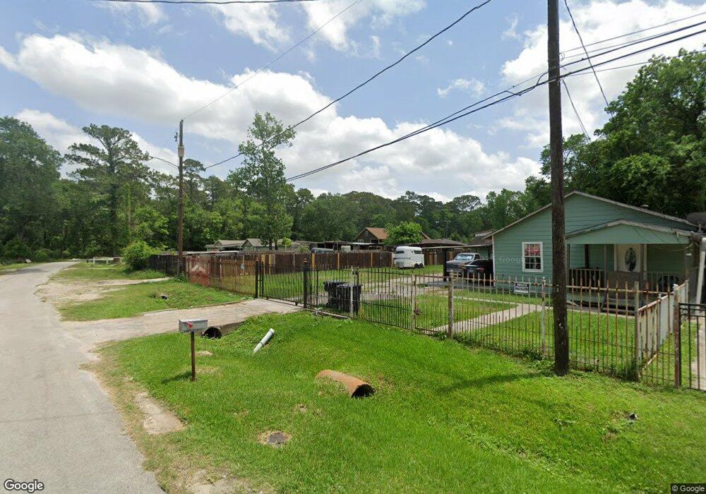
10220 Allwood St Houston, TX 77016
East Little York NeighborhoodEstimated Value: $73,189 - $235,000
--
Bed
--
Bath
--
Sq Ft
6,970
Sq Ft Lot
About This Home
This home is located at 10220 Allwood St, Houston, TX 77016 and is currently estimated at $137,297. 10220 Allwood St is a home located in Harris County with nearby schools including Shadydale Elementary School, Forest Brook Middle, and North Forest High School.
Ownership History
Date
Name
Owned For
Owner Type
Purchase Details
Closed on
Oct 23, 2019
Sold by
Hernandez Jennifer Marie
Bought by
Nino Hilario Muniz and Muiz Maria Elvia
Current Estimated Value
Purchase Details
Closed on
Mar 7, 2018
Sold by
Gomez Angel Perez
Bought by
Hernandez Jennifer Marie
Purchase Details
Closed on
Jul 5, 2007
Sold by
Cimadamore Marcelo Gino
Bought by
Gomez Angel Perez
Purchase Details
Closed on
Aug 23, 2006
Sold by
Johnson Vania R
Bought by
Cimadamore Marcelo
Create a Home Valuation Report for This Property
The Home Valuation Report is an in-depth analysis detailing your home's value as well as a comparison with similar homes in the area
Home Values in the Area
Average Home Value in this Area
Purchase History
| Date | Buyer | Sale Price | Title Company |
|---|---|---|---|
| Nino Hilario Muniz | $10,000 | None Available | |
| Hernandez Jennifer Marie | $1,200 | None Available | |
| Gomez Angel Perez | -- | None Available | |
| Cimadamore Marcelo | -- | Stewart |
Source: Public Records
Tax History Compared to Growth
Tax History
| Year | Tax Paid | Tax Assessment Tax Assessment Total Assessment is a certain percentage of the fair market value that is determined by local assessors to be the total taxable value of land and additions on the property. | Land | Improvement |
|---|---|---|---|---|
| 2025 | $996 | $63,587 | $54,366 | $9,221 |
| 2024 | $996 | $57,207 | $47,351 | $9,856 |
| 2023 | $799 | $39,670 | $29,814 | $9,856 |
| 2022 | $873 | $39,670 | $29,814 | $9,856 |
| 2021 | $535 | $22,948 | $21,045 | $1,903 |
| 2020 | $556 | $22,948 | $21,045 | $1,903 |
| 2019 | $448 | $17,692 | $14,732 | $2,960 |
| 2018 | $386 | $15,236 | $12,276 | $2,960 |
| 2017 | $385 | $15,236 | $12,276 | $2,960 |
| 2016 | $186 | $7,366 | $7,266 | $100 |
| 2015 | $189 | $7,366 | $7,366 | $0 |
| 2014 | $189 | $7,366 | $7,366 | $0 |
Source: Public Records
Map
Nearby Homes
- 5914 Breland St
- 5621 Haywood St
- 5418 Parker Rd
- 6001 Bretshire Dr
- 9838 Camay Dr
- 5203 Mayle St
- 5125 Mayle St
- 9711 Bertwood St
- 10221 Bretton Dr
- 5413 Glen Nook Dr
- 5713 Rietta St
- 5715 Rietta St
- 5123 Francine Ln
- 9603 Bertwood St
- 5130 Farb Dr
- 6206 Antha St
- 7902 S Lockwood Dr
- 10122 Rockaway Dr
- 0 Haywood St Unit 63273227
- 5022 Bretshire Dr