10220 Maple Rd Carthage, MO 64836
Estimated Value: $215,895 - $260,000
3
Beds
3
Baths
1,386
Sq Ft
$166/Sq Ft
Est. Value
About This Home
This home is located at 10220 Maple Rd, Carthage, MO 64836 and is currently estimated at $230,474, approximately $166 per square foot. 10220 Maple Rd is a home located in Jasper County with nearby schools including Avilla Elementary School.
Ownership History
Date
Name
Owned For
Owner Type
Purchase Details
Closed on
Aug 5, 2021
Sold by
Phillips Danny L and Phillips Dawn M
Bought by
Roughton David T and Roughton Robin
Current Estimated Value
Purchase Details
Closed on
Oct 28, 2013
Sold by
Southwest Missouri Bank
Bought by
Roughton Ii David T and Roughton Robin
Home Financials for this Owner
Home Financials are based on the most recent Mortgage that was taken out on this home.
Original Mortgage
$91,836
Interest Rate
4.62%
Mortgage Type
New Conventional
Purchase Details
Closed on
Feb 5, 2013
Sold by
Bruton Philip M and Bruton Tina M
Bought by
Unto Southwest Missouri Bank
Create a Home Valuation Report for This Property
The Home Valuation Report is an in-depth analysis detailing your home's value as well as a comparison with similar homes in the area
Purchase History
| Date | Buyer | Sale Price | Title Company |
|---|---|---|---|
| Roughton David T | -- | None Available | |
| Roughton Ii David T | -- | None Available | |
| Unto Southwest Missouri Bank | $25,750 | None Available |
Source: Public Records
Mortgage History
| Date | Status | Borrower | Loan Amount |
|---|---|---|---|
| Previous Owner | Roughton Ii David T | $91,836 |
Source: Public Records
Tax History
| Year | Tax Paid | Tax Assessment Tax Assessment Total Assessment is a certain percentage of the fair market value that is determined by local assessors to be the total taxable value of land and additions on the property. | Land | Improvement |
|---|---|---|---|---|
| 2025 | $944 | $23,690 | $2,600 | $21,090 |
| 2024 | $944 | $21,780 | $2,600 | $19,180 |
| 2023 | $944 | $21,780 | $2,600 | $19,180 |
| 2022 | $920 | $21,790 | $2,600 | $19,190 |
| 2021 | $897 | $21,320 | $2,130 | $19,190 |
| 2020 | $872 | $19,920 | $2,130 | $17,790 |
| 2019 | $874 | $19,920 | $2,130 | $17,790 |
| 2018 | $901 | $20,570 | $0 | $0 |
| 2017 | $904 | $20,570 | $0 | $0 |
| 2016 | $919 | $21,000 | $0 | $0 |
| 2015 | $923 | $21,000 | $0 | $0 |
| 2014 | $923 | $21,000 | $0 | $0 |
Source: Public Records
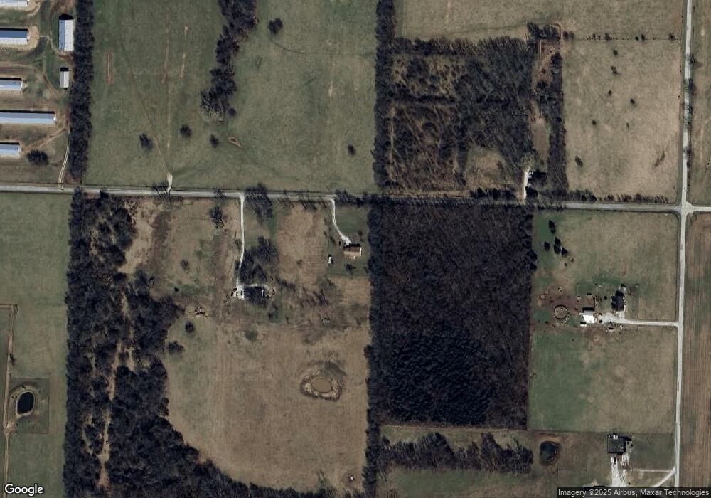
Map
Nearby Homes
- 10573 County Road 110
- 10450 County Road 100
- 15521 Cr 90
- 10327 County Road 120
- 9895 County Lane 93
- 9853 County Road 118
- 9599 County Road 118
- 9609 Base Line Blvd
- 7686 State Highway 96
- 12010 Javelin Ln
- 13825 Jasmine Loop
- TBD County Road 60 Unit 10601400000001000
- TBD County Road 60
- 14146 Kafir Rd
- 15521 County Road 90
- Tbd Highway Hh S 25
- TBD Harmony Rd
- 1160 S County Lane 119
- 7777 Cr-110
- 7907 County Road 118
- 10274 Maple Rd
- 12905 County Road 100
- 12757 County Road 100
- 12665 County Road 100
- 12650 County Road 100
- 10700 Maple Rd
- 10784 Maple Rd
- 10801 Mossey Oak Ln
- 10116 Newcastle Ln
- 12870 County Road 110
- 13568 County Road 100
- 13093 County Road 110
- 10355 Locust Rd
- 11095 Maple Rd
- 12780 County Road 110
- 1900 Bluebird Way
- 10065 Locust Rd
- 10615 Locust Rd
- 10211 Locust Rd
- 13519 County Road 110
Your Personal Tour Guide
Ask me questions while you tour the home.