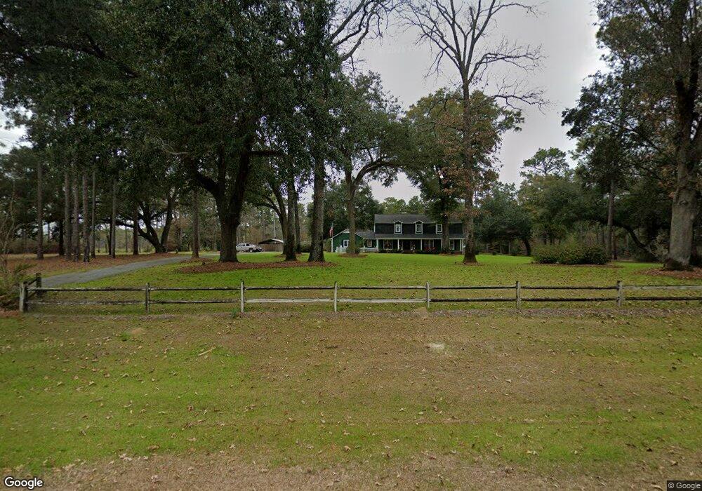
10222 Broomsedge Rd Camilla, GA 31730
Estimated Value: $316,000 - $457,761
--
Bed
1
Bath
3,915
Sq Ft
$98/Sq Ft
Est. Value
About This Home
This home is located at 10222 Broomsedge Rd, Camilla, GA 31730 and is currently estimated at $383,940, approximately $98 per square foot. 10222 Broomsedge Rd is a home located in Mitchell County with nearby schools including Mitchell County Primary School, Mitchell County Elementary School, and Mitchell County Middle School.
Ownership History
Date
Name
Owned For
Owner Type
Purchase Details
Closed on
Oct 16, 2015
Sold by
Hays W Donald
Bought by
Hays Walter Donald
Current Estimated Value
Home Financials for this Owner
Home Financials are based on the most recent Mortgage that was taken out on this home.
Original Mortgage
$143,200
Outstanding Balance
$112,897
Interest Rate
3.94%
Mortgage Type
New Conventional
Estimated Equity
$271,043
Purchase Details
Closed on
Oct 6, 2015
Sold by
Hays Walter Donald
Bought by
Hays Rebecca Deann
Home Financials for this Owner
Home Financials are based on the most recent Mortgage that was taken out on this home.
Original Mortgage
$143,200
Outstanding Balance
$112,897
Interest Rate
3.94%
Mortgage Type
New Conventional
Estimated Equity
$271,043
Purchase Details
Closed on
Feb 20, 2008
Sold by
The Bank Of New York
Bought by
Hays Walter
Create a Home Valuation Report for This Property
The Home Valuation Report is an in-depth analysis detailing your home's value as well as a comparison with similar homes in the area
Home Values in the Area
Average Home Value in this Area
Purchase History
| Date | Buyer | Sale Price | Title Company |
|---|---|---|---|
| Hays Walter Donald | $153,432 | -- | |
| Hays Rebecca Deann | $153,500 | -- | |
| Hays Walter | -- | -- |
Source: Public Records
Mortgage History
| Date | Status | Borrower | Loan Amount |
|---|---|---|---|
| Open | Hays Walter Donald | $143,200 | |
| Closed | Hays Rebecca Deann | $143,200 |
Source: Public Records
Tax History Compared to Growth
Tax History
| Year | Tax Paid | Tax Assessment Tax Assessment Total Assessment is a certain percentage of the fair market value that is determined by local assessors to be the total taxable value of land and additions on the property. | Land | Improvement |
|---|---|---|---|---|
| 2024 | $5,032 | $148,840 | $16,320 | $132,520 |
| 2023 | $5,278 | $148,840 | $16,320 | $132,520 |
| 2022 | $4,115 | $118,280 | $16,320 | $101,960 |
| 2021 | $3,634 | $101,570 | $15,680 | $85,890 |
| 2020 | $3,634 | $101,570 | $15,680 | $85,890 |
| 2019 | $3,617 | $101,570 | $15,680 | $85,890 |
| 2018 | $3,700 | $101,570 | $15,680 | $85,890 |
| 2017 | $3,318 | $89,477 | $15,707 | $73,770 |
| 2016 | $3,213 | $89,478 | $15,707 | $73,770 |
| 2015 | $3,213 | $89,478 | $15,707 | $73,770 |
| 2014 | $3,213 | $89,478 | $15,707 | $73,770 |
| 2013 | $3,213 | $90,690 | $15,707 | $74,983 |
Source: Public Records
Map
Nearby Homes
- 8468 Branchville Rd
- 685 Wisteria Way
- 6050 Newton Hwy
- 6170 Newton Hwy
- 6514 Newton Hwy
- 0 Hawkins Town Rd
- 0 Cumbie Rd
- Tbd Cumbie Rd
- TBD2 Cumbie Rd
- TBD4 Cumbie Rd
- TBD3 Cumbie Rd
- 1043 Wacaser Corner Rd
- 149 County Line Church Rd
- Branchville Rd
- 7263 Lodgetown Rd
- 0 Georgia 97
- 424 Grassy Flats Rd
- 0 Pelham Rd Unit 10563713
- 0 Pelham Rd Unit 24057095
- 0 Pelham Rd Unit 10557626