10222 Redbud Haslett, MI 48840
Estimated Value: $352,000 - $638,000
Studio
--
Bath
--
Sq Ft
5.6
Acres
About This Home
This home is located at 10222 Redbud, Haslett, MI 48840 and is currently estimated at $482,196. 10222 Redbud is a home located in Shiawassee County with nearby schools including Perry Elementary School, Perry Middle School, and Perry High School.
Ownership History
Date
Name
Owned For
Owner Type
Purchase Details
Closed on
Oct 15, 2023
Sold by
Monnier Dale A and Monnier Betty L
Bought by
Monnier Dale A and Monnier Betty L
Current Estimated Value
Purchase Details
Closed on
Sep 20, 2010
Sold by
Ballard Bruce R and Ballard Betty M
Bought by
Monnier Dale A and Monnier Betty L
Home Financials for this Owner
Home Financials are based on the most recent Mortgage that was taken out on this home.
Original Mortgage
$149,900
Interest Rate
4.42%
Mortgage Type
Unknown
Create a Home Valuation Report for This Property
The Home Valuation Report is an in-depth analysis detailing your home's value as well as a comparison with similar homes in the area
Purchase History
| Date | Buyer | Sale Price | Title Company |
|---|---|---|---|
| Monnier Dale A | -- | None Listed On Document | |
| Monnier Dale A | -- | None Listed On Document | |
| Monnier Dale A | $249,000 | -- |
Source: Public Records
Mortgage History
| Date | Status | Borrower | Loan Amount |
|---|---|---|---|
| Previous Owner | Monnier Dale A | $149,900 |
Source: Public Records
Tax History
| Year | Tax Paid | Tax Assessment Tax Assessment Total Assessment is a certain percentage of the fair market value that is determined by local assessors to be the total taxable value of land and additions on the property. | Land | Improvement |
|---|---|---|---|---|
| 2025 | $4,369 | $178,300 | $0 | $0 |
| 2024 | $4,037 | $173,200 | $0 | $0 |
| 2023 | $1,993 | $162,400 | $0 | $0 |
| 2022 | $3,826 | $151,700 | $0 | $0 |
| 2021 | $3,518 | $142,700 | $0 | $0 |
| 2020 | $3,567 | $132,700 | $0 | $0 |
| 2019 | $3,518 | $121,100 | $0 | $0 |
| 2018 | $3,396 | $120,000 | $0 | $0 |
| 2017 | $3,116 | $114,700 | $0 | $0 |
| 2016 | -- | $114,700 | $0 | $0 |
| 2015 | -- | $109,100 | $0 | $0 |
| 2014 | $16 | $104,300 | $0 | $0 |
Source: Public Records
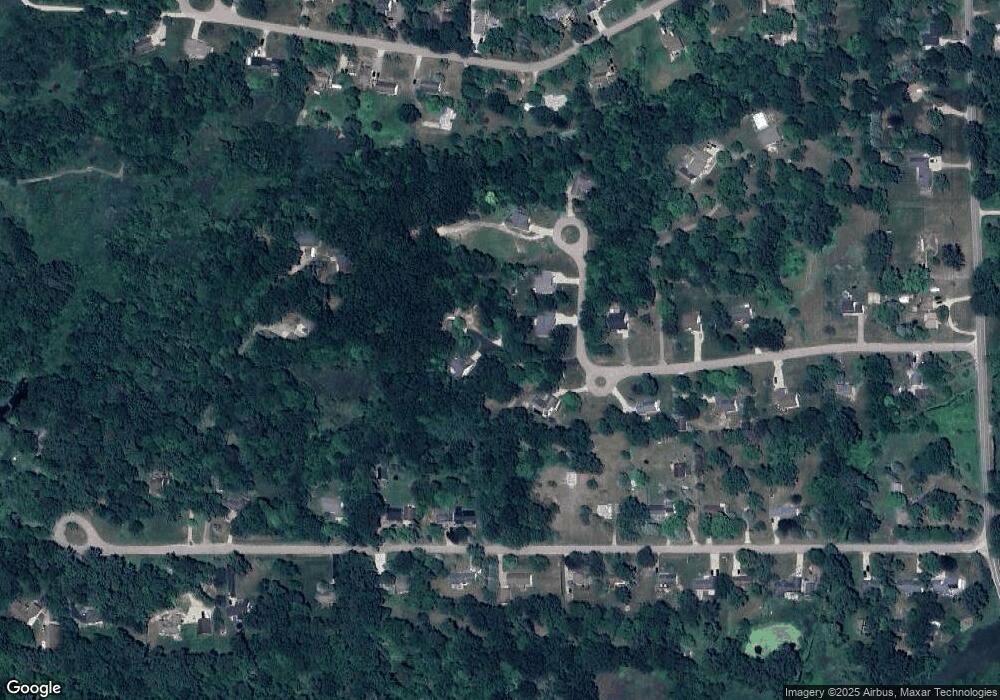
Map
Nearby Homes
- The Sebastian Plan at Bonnie Meadows
- The Bristol Plan at Bonnie Meadows
- The Windsor Plan at Bonnie Meadows
- The Balsam Plan at Bonnie Meadows
- The Marley Plan at Bonnie Meadows
- The Wisteria Plan at Bonnie Meadows
- The Rutherford Plan at Bonnie Meadows
- The Hadley Plan at Bonnie Meadows
- The Hearthside Plan at Bonnie Meadows
- The Jamestown Plan at Bonnie Meadows
- The Grayson Plan at Bonnie Meadows
- The Preston Plan at Bonnie Meadows
- The Fitzgerald Plan at Bonnie Meadows
- The Maxwell Plan at Bonnie Meadows
- 16685 Tormiston Rd
- 16725 Tormiston Rd
- 14271 Woodbury Rd
- 0 Dunn Rd
- 16677 Peacock Ln
- 610 Barry Rd
- 10222 Redbud
- 10222 Redbud
- 10222 Redbud
- 10222 Redbud
- 10222 Red Bud
- 10225 Redbud
- 10300 Blackberry Ln
- 10320 Blackberry Ln
- 10404 Blackberry Ln
- 10265 Red Bud
- 10190 Redbud
- 10153 Redbud
- 10346 Blackberry Ln
- 10208 Blackberry Ln
- 10208 Blackberry Ln
- 10410 Blackberry Ln
- 10285 Blackberry Ln
- 10153 Red Bud Dr
- 10245 Blackberry Ln
- 10260 Redbud Unit 2