10222 Streng Rd Milford Center, OH 43045
Estimated Value: $348,000 - $402,000
2
Beds
1
Bath
1,350
Sq Ft
$271/Sq Ft
Est. Value
About This Home
This home is located at 10222 Streng Rd, Milford Center, OH 43045 and is currently estimated at $366,410, approximately $271 per square foot. 10222 Streng Rd is a home located in Union County with nearby schools including Fairbanks Elementary School, Fairbanks Middle School, and Fairbanks High School.
Ownership History
Date
Name
Owned For
Owner Type
Purchase Details
Closed on
Jul 27, 2011
Sold by
Salyers Roger D and Salyers Barbara
Bought by
Burns Robin L and Burns Kyle S
Current Estimated Value
Home Financials for this Owner
Home Financials are based on the most recent Mortgage that was taken out on this home.
Original Mortgage
$143,273
Outstanding Balance
$99,431
Interest Rate
4.62%
Mortgage Type
FHA
Estimated Equity
$266,979
Create a Home Valuation Report for This Property
The Home Valuation Report is an in-depth analysis detailing your home's value as well as a comparison with similar homes in the area
Home Values in the Area
Average Home Value in this Area
Purchase History
| Date | Buyer | Sale Price | Title Company |
|---|---|---|---|
| Burns Robin L | $147,000 | Attorney |
Source: Public Records
Mortgage History
| Date | Status | Borrower | Loan Amount |
|---|---|---|---|
| Open | Burns Robin L | $143,273 |
Source: Public Records
Tax History Compared to Growth
Tax History
| Year | Tax Paid | Tax Assessment Tax Assessment Total Assessment is a certain percentage of the fair market value that is determined by local assessors to be the total taxable value of land and additions on the property. | Land | Improvement |
|---|---|---|---|---|
| 2024 | $3,670 | $86,870 | $16,580 | $70,290 |
| 2023 | $3,670 | $86,870 | $16,580 | $70,290 |
| 2022 | $3,595 | $86,870 | $16,580 | $70,290 |
| 2021 | $3,058 | $66,540 | $12,750 | $53,790 |
| 2020 | $3,129 | $66,540 | $12,750 | $53,790 |
| 2019 | $3,058 | $66,540 | $12,750 | $53,790 |
| 2018 | $2,337 | $49,100 | $10,190 | $38,910 |
| 2017 | $2,325 | $49,100 | $10,190 | $38,910 |
| 2016 | $2,304 | $49,100 | $10,190 | $38,910 |
| 2015 | $2,061 | $45,080 | $9,570 | $35,510 |
| 2014 | $2,061 | $45,080 | $9,570 | $35,510 |
| 2013 | $2,064 | $45,080 | $9,570 | $35,510 |
Source: Public Records
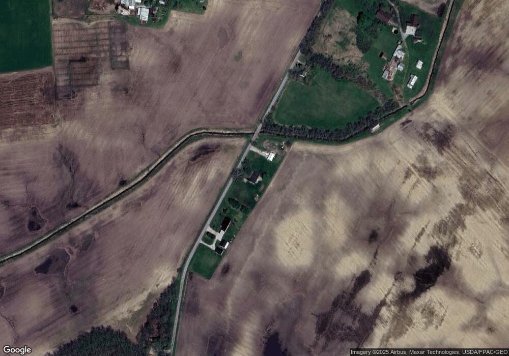
Map
Nearby Homes
- 17400 Burns Rd
- 55 Brown St
- 96 S Mill St
- 97 W Center St
- 74 W State St
- 16725 Raintree Dr
- 7 Willow Wood Ln
- 5 Willow Wood Ln
- 1483 Hickory Gate Dr
- 1706 Skybrook Blvd
- 2250 Night Mist Way
- 18280 Timber Trails Rd
- 2280 Crisp Air Run
- 15657 Robinson Rd
- 1 Raintree Dr
- 39 Raintree Dr
- 2 Raintree Dr
- 33 Raintree Dr
- 38 Raintree Dr
- 40 Raintree Dr
- 10200 Streng Rd
- 10314 Streng Rd
- 10386 Streng Rd
- 19683 Sabine Bigelow Rd
- 10461 Streng Rd
- 19580 Sabine Bigelow Rd
- 0 Streng Rd Unit Tract 2 224001155
- 0 Streng Rd Unit Tract 1 224001148
- 0 Streng Rd
- 9809 Streng Rd
- 18989 Middleburg Plain City Rd
- 10353 Axehandle Rd
- 9625 Streng Rd
- 19180 Middleburg Plain City Rd
- 20158 Sabine Bigelow Rd
- 9570 Streng Rd
- 20222 Sabine Bigelow Rd
- 18610 Middleburg Plain City Rd
- 18588 Middleburg Plain City Rd
- 19380 Middleburg Plain City Rd