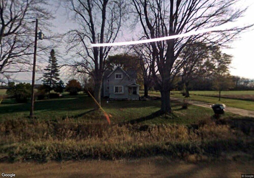
10224 S Ransom Rd Bannister, MI 48807
Estimated Value: $115,360 - $335,000
--
Bed
--
Bath
--
Sq Ft
2
Acres
About This Home
This home is located at 10224 S Ransom Rd, Bannister, MI 48807 and is currently estimated at $187,090. 10224 S Ransom Rd is a home located in Gratiot County with nearby schools including E.E. Knight Elementary School, Leonard Elementary School, and Ovid-Elsie Middle School.
Ownership History
Date
Name
Owned For
Owner Type
Purchase Details
Closed on
Jan 20, 2023
Sold by
Dittmar John
Bought by
Spousta David and Spousta Valerie
Current Estimated Value
Purchase Details
Closed on
Sep 10, 2019
Sold by
Nationstar Mtg Llc
Bought by
Dittmar John Levon and Dittmar John Levon
Purchase Details
Closed on
Jul 11, 2019
Sold by
Gratiot County Of Sheriff
Bought by
Nationstar Mortgage Llc
Purchase Details
Closed on
Sep 8, 2004
Sold by
Brown Timothy and Brown Karen
Bought by
Brown Karen
Purchase Details
Closed on
Feb 2, 1999
Sold by
Stilwell Michael L and Stilwell Sandra L
Bought by
Brown Timothy and Brown Karen
Create a Home Valuation Report for This Property
The Home Valuation Report is an in-depth analysis detailing your home's value as well as a comparison with similar homes in the area
Home Values in the Area
Average Home Value in this Area
Purchase History
| Date | Buyer | Sale Price | Title Company |
|---|---|---|---|
| Spousta David | $74,000 | -- | |
| Dittmar John Levon | $16,500 | None Available | |
| Nationstar Mortgage Llc | $18,000 | None Available | |
| Brown Karen | -- | -- | |
| Brown Timothy | $70,500 | -- |
Source: Public Records
Tax History Compared to Growth
Tax History
| Year | Tax Paid | Tax Assessment Tax Assessment Total Assessment is a certain percentage of the fair market value that is determined by local assessors to be the total taxable value of land and additions on the property. | Land | Improvement |
|---|---|---|---|---|
| 2025 | $2,008 | $72,200 | $0 | $0 |
| 2024 | $2,008 | $56,400 | $0 | $0 |
| 2023 | $756 | $48,600 | $0 | $0 |
| 2022 | $756 | $42,300 | $0 | $0 |
| 2021 | $756 | $46,900 | $0 | $0 |
| 2020 | -- | $38,300 | $0 | $0 |
| 2019 | -- | $33,800 | $0 | $0 |
| 2018 | -- | $34,600 | $0 | $0 |
| 2017 | -- | $34,600 | $0 | $0 |
| 2016 | -- | $29,800 | $0 | $0 |
| 2015 | -- | $30,600 | $0 | $0 |
| 2014 | -- | $31,900 | $0 | $0 |
| 2013 | -- | $29,500 | $0 | $0 |
Source: Public Records
Map
Nearby Homes
- 11550 S Wisner Rd
- 7060 E Maple Rapids Rd
- 10230 E Cleveland Rd
- 7741 E Garfield Rd
- 309 N Herring St
- 0 S Maywood Rd
- 7902 N Welling Rd
- 204 W Pine St
- 229 W Maple St
- 228 E Pine St
- 323 E Main St
- 5113 S Wisner Rd
- 1 Peet Rd
- 9820 S Bagley Rd
- 000 W Huff Rd
- 22712 W Gary Rd
- 13675 S Meridian Rd
- 4321 N Upton Rd
- 5752 E Colony Rd
- 0 E Colony Rd Unit 286182