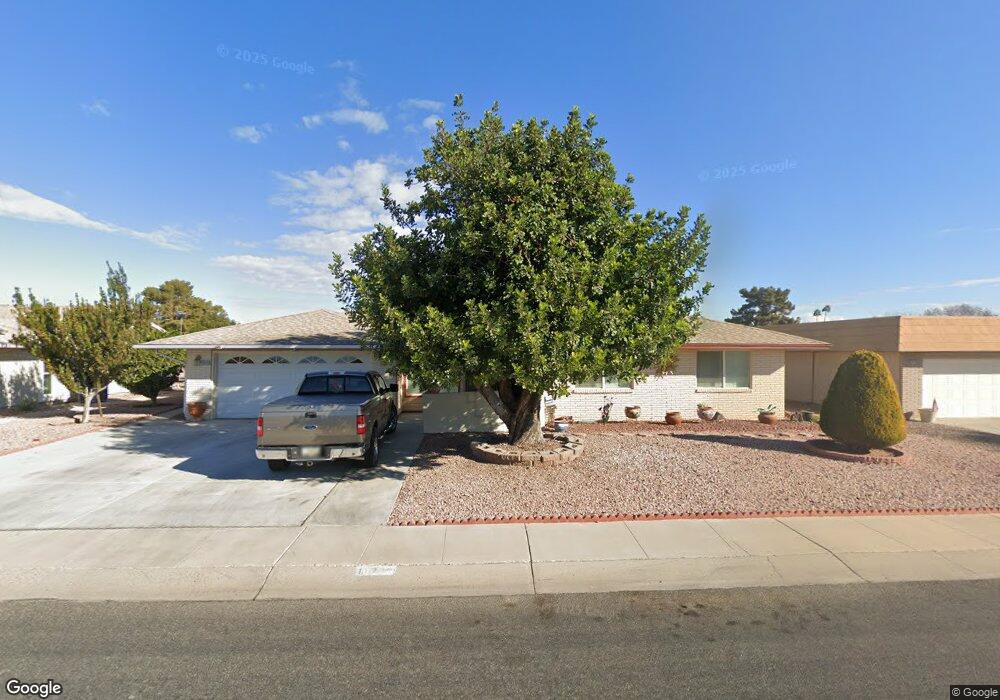
10226 W Brookside Dr Sun City, AZ 85351
Estimated Value: $332,121 - $461,000
--
Bed
2
Baths
2,034
Sq Ft
$194/Sq Ft
Est. Value
About This Home
This home is located at 10226 W Brookside Dr, Sun City, AZ 85351 and is currently estimated at $394,530, approximately $193 per square foot. 10226 W Brookside Dr is a home located in Maricopa County with nearby schools including Sonoran Science Academy-Peoria, Desert Mirage Elementary School, and Black Mountain Science Academy Montessori.
Ownership History
Date
Name
Owned For
Owner Type
Purchase Details
Closed on
Nov 21, 2024
Sold by
Arzola Fernando and Arzola Maria Teresa
Bought by
Arzola Family Trust and Arzola
Current Estimated Value
Purchase Details
Closed on
Dec 3, 2015
Sold by
Driscoll John and The Eleanor Driscoll Falk Trus
Bought by
Arzola Maria Teresa and Arzola Fernando
Purchase Details
Closed on
Oct 13, 1994
Sold by
Falk Eleanor Driscoll
Bought by
Falk Eleanor D and The Eleanor Driscoll Falk Trust
Create a Home Valuation Report for This Property
The Home Valuation Report is an in-depth analysis detailing your home's value as well as a comparison with similar homes in the area
Home Values in the Area
Average Home Value in this Area
Purchase History
| Date | Buyer | Sale Price | Title Company |
|---|---|---|---|
| Arzola Family Trust | -- | None Listed On Document | |
| Arzola Family Trust | -- | None Listed On Document | |
| Arzola Maria Teresa | -- | None Available | |
| Falk Eleanor D | -- | -- |
Source: Public Records
Tax History Compared to Growth
Tax History
| Year | Tax Paid | Tax Assessment Tax Assessment Total Assessment is a certain percentage of the fair market value that is determined by local assessors to be the total taxable value of land and additions on the property. | Land | Improvement |
|---|---|---|---|---|
| 2025 | $1,907 | $23,603 | -- | -- |
| 2024 | $1,722 | $22,479 | -- | -- |
| 2023 | $1,722 | $31,000 | $6,200 | $24,800 |
| 2022 | $1,610 | $26,410 | $5,280 | $21,130 |
| 2021 | $1,662 | $25,080 | $5,010 | $20,070 |
| 2020 | $1,619 | $22,700 | $4,540 | $18,160 |
| 2019 | $1,598 | $22,480 | $4,490 | $17,990 |
| 2018 | $1,537 | $20,160 | $4,030 | $16,130 |
| 2017 | $1,481 | $18,480 | $3,690 | $14,790 |
| 2016 | $785 | $17,010 | $3,400 | $13,610 |
| 2015 | $1,326 | $16,710 | $3,340 | $13,370 |
Source: Public Records
Map
Nearby Homes
- 10134 W Desert Rock Dr
- 10313 W Desert Rock Dr
- 10313 W Burns Dr
- 10329 W Gulf Hills Dr
- 10214 W Hutton Dr Unit 36
- 9921 W Hutton Dr
- 10018 W Burns Dr
- 10202 W Edgewood Dr
- 16822 N Boswell Blvd
- 16802 N Boswell Blvd
- 16202 N 106th Ave
- 16801 N 103rd Ave
- 16822 N 102nd Ave
- 10511 W Edgewood Dr
- 10228 W Twin Oaks Dr
- 10608 W Edgewood Dr
- 10251 W Twin Oaks Dr
- 10106 W Campana Dr
- 10319 W Twin Oaks Dr
- 10009 W Pleasant Valley Rd
- 10232 W Brookside Dr
- 10220 W Brookside Dr
- 10214 W Brookside Dr
- 10302 W Brookside Dr
- 10231 W Brookside Dr
- 10225 W Brookside Dr
- 10237 W Brookside Dr
- 10219 W Brookside Dr
- 10301 W Brookside Dr
- 10308 W Brookside Dr
- 10208 W Brookside Dr
- 10213 W Brookside Dr
- 10307 W Brookside Dr
- 10232 W Sutters Gold Ln
- 10238 W Sutters Gold Ln
- 10226 W Sutters Gold Ln Unit 33
- 10302 W Sutters Gold Ln
- 10202 W Brookside Dr
- 10220 W Sutters Gold Ln
- 10207 W Brookside Dr