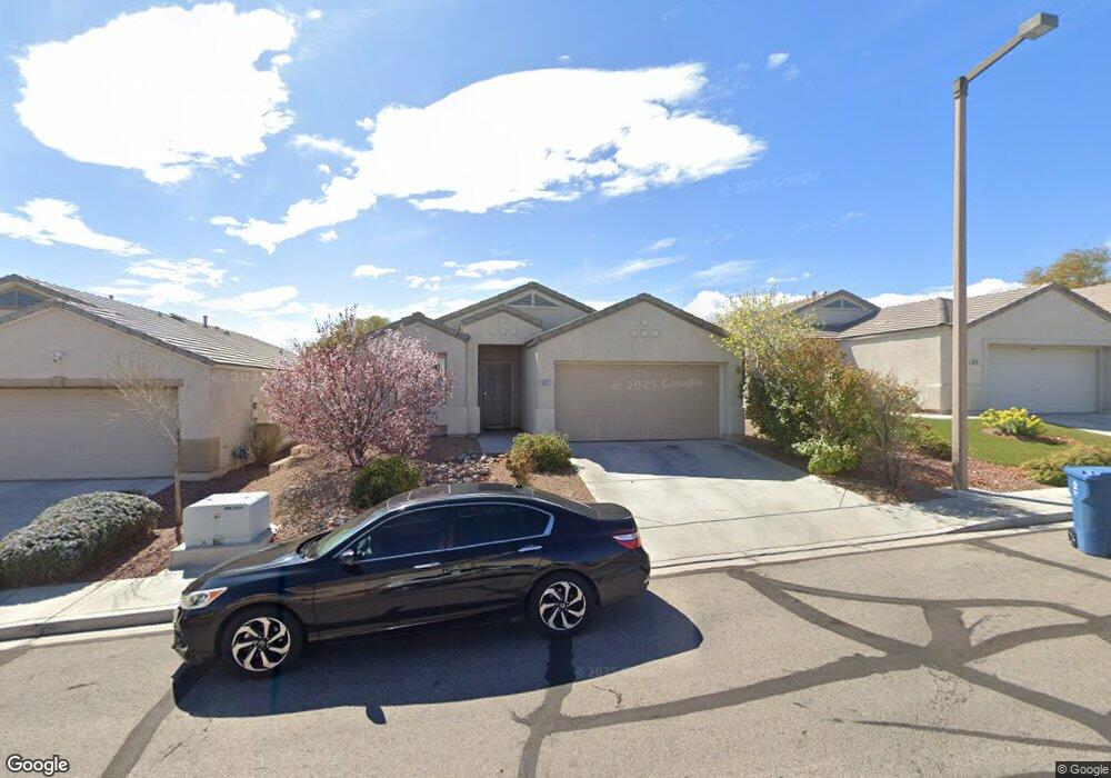
10227 Turret Peak Ave Las Vegas, NV 89135
Summerlin NeighborhoodEstimated Value: $478,000 - $550,000
3
Beds
2
Baths
1,560
Sq Ft
$330/Sq Ft
Est. Value
About This Home
This home is located at 10227 Turret Peak Ave, Las Vegas, NV 89135 and is currently estimated at $515,478, approximately $330 per square foot. 10227 Turret Peak Ave is a home located in Clark County with nearby schools including D'Vorre & Hal Ober Elementary School, Victoria Fertitta Middle School, and Palo Verde High School.
Ownership History
Date
Name
Owned For
Owner Type
Purchase Details
Closed on
Nov 1, 2021
Sold by
Devine Steven
Bought by
Devine Steven Charles and Steven Devine Trust
Current Estimated Value
Purchase Details
Closed on
Jan 10, 2005
Sold by
Devine Steven
Bought by
Devine Steven
Home Financials for this Owner
Home Financials are based on the most recent Mortgage that was taken out on this home.
Original Mortgage
$160,000
Interest Rate
5.69%
Mortgage Type
New Conventional
Purchase Details
Closed on
Jun 23, 1999
Sold by
Pn Ii Inc
Bought by
Devine Steven
Home Financials for this Owner
Home Financials are based on the most recent Mortgage that was taken out on this home.
Original Mortgage
$122,000
Interest Rate
7.05%
Create a Home Valuation Report for This Property
The Home Valuation Report is an in-depth analysis detailing your home's value as well as a comparison with similar homes in the area
Home Values in the Area
Average Home Value in this Area
Purchase History
| Date | Buyer | Sale Price | Title Company |
|---|---|---|---|
| Devine Steven Charles | -- | None Available | |
| Devine Steven | -- | Nevada Title Company | |
| Devine Steven | $136,000 | Lawyers Title |
Source: Public Records
Mortgage History
| Date | Status | Borrower | Loan Amount |
|---|---|---|---|
| Closed | Devine Steven | $160,000 | |
| Closed | Devine Steven | $122,000 |
Source: Public Records
Tax History Compared to Growth
Tax History
| Year | Tax Paid | Tax Assessment Tax Assessment Total Assessment is a certain percentage of the fair market value that is determined by local assessors to be the total taxable value of land and additions on the property. | Land | Improvement |
|---|---|---|---|---|
| 2025 | $2,093 | $117,172 | $56,350 | $60,822 |
| 2024 | $2,033 | $117,172 | $56,350 | $60,822 |
| 2023 | $2,033 | $99,700 | $42,000 | $57,700 |
| 2022 | $1,973 | $87,792 | $35,000 | $52,792 |
| 2021 | $1,914 | $84,040 | $33,950 | $50,090 |
| 2020 | $1,856 | $80,231 | $30,450 | $49,781 |
| 2019 | $1,802 | $77,498 | $28,350 | $49,148 |
| 2018 | $1,749 | $69,155 | $22,050 | $47,105 |
| 2017 | $2,036 | $69,249 | $21,700 | $47,549 |
| 2016 | $1,657 | $64,771 | $17,150 | $47,621 |
| 2015 | $1,653 | $61,029 | $14,000 | $47,029 |
| 2014 | $1,605 | $52,876 | $11,200 | $41,676 |
Source: Public Records
Map
Nearby Homes
- 3275 Phantom Rock St
- 10267 Early Morning Ave
- 10024 Rolling Glen Ct
- 9917 Aspen Knoll Ct
- 10028 Sail Landing Ct
- 10068 Yellow Canary Ave
- 10291 Songsparrow Ct
- 10025 Harpoon Cir
- 9905 Fox Springs Dr
- 10310 Songsparrow Ct
- 10191 Refuge Ct Unit 2
- 9833 Dardanelle Ct
- 9820 Cross Creek Way
- 3026 Cherum St
- 3612 Chelsea Gardens Dr Unit 2
- 10281 Rarity Ave
- 9931 Sparrow Ridge Ave
- 9741 Horizon Hills Dr
- 9888 Sparrow Ridge Ave
- 10227 Sunset Gardens Dr
- 10215 Turret Peak Ave
- 10239 Turret Peak Ave
- 10203 Turret Peak Ave
- 10251 Turret Peak Ave
- 3286 Phantom Rock St
- 10191 Turret Peak Ave
- 10263 Turret Peak Ave Unit None
- 10263 Turret Peak Ave
- 10179 Turret Peak Ave
- 10275 Turret Peak Ave
- 3282 Phantom Rock St
- 3287 Phantom Rock St
- 10190 Turret Peak Ave
- 10287 Turret Peak Ave
- 3278 Phantom Rock St Unit na
- 3278 Phantom Rock St Unit o
- 3278 Phantom Rock St
- 3283 Phantom Rock St
- 10278 Bright Harbor Ave Unit none