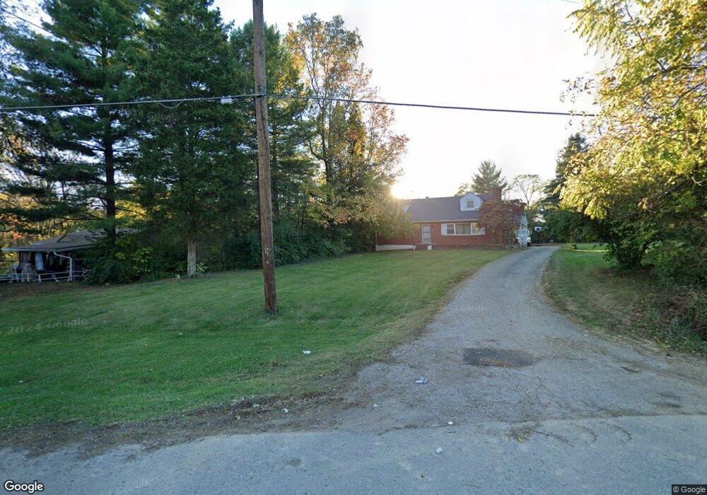
10229 Hamilton Ave Cincinnati, OH 45231
New Burlington NeighborhoodEstimated Value: $70,000 - $484,000
Studio
--
Bath
--
Sq Ft
12,110
Sq Ft Lot
About This Home
This home is located at 10229 Hamilton Ave, Cincinnati, OH 45231 and is currently estimated at $243,000. 10229 Hamilton Ave is a home located in Hamilton County with nearby schools including Mt Healthy High School, Hamilton County Mathematics and Science Academy, and Central Montessori Academy.
Ownership History
Date
Name
Owned For
Owner Type
Purchase Details
Closed on
Apr 21, 2009
Sold by
Crawford Zachary and Crawford Zachary A
Bought by
Deutsche Bank National Trust Company
Current Estimated Value
Purchase Details
Closed on
Feb 4, 2005
Sold by
Mcdonald Kevin R and Mcdonald Elizabeth A
Bought by
Crawford Zachary A and Crawford Roberta E
Home Financials for this Owner
Home Financials are based on the most recent Mortgage that was taken out on this home.
Original Mortgage
$114,000
Interest Rate
10.3%
Mortgage Type
Fannie Mae Freddie Mac
Create a Home Valuation Report for This Property
The Home Valuation Report is an in-depth analysis detailing your home's value as well as a comparison with similar homes in the area
Home Values in the Area
Average Home Value in this Area
Purchase History
| Date | Buyer | Sale Price | Title Company |
|---|---|---|---|
| Deutsche Bank National Trust Company | $74,000 | None Available | |
| Crawford Zachary A | $120,000 | C&R Title Agency Inc |
Source: Public Records
Mortgage History
| Date | Status | Borrower | Loan Amount |
|---|---|---|---|
| Previous Owner | Crawford Zachary A | $114,000 |
Source: Public Records
Tax History
| Year | Tax Paid | Tax Assessment Tax Assessment Total Assessment is a certain percentage of the fair market value that is determined by local assessors to be the total taxable value of land and additions on the property. | Land | Improvement |
|---|---|---|---|---|
| 2025 | $85 | $1,425 | $1,425 | -- |
| 2023 | $81 | $1,425 | $1,425 | $0 |
| 2022 | $112 | $1,421 | $1,421 | $0 |
| 2021 | $111 | $1,421 | $1,421 | $0 |
| 2020 | $110 | $1,421 | $1,421 | $0 |
| 2019 | $93 | $1,120 | $1,120 | $0 |
| 2018 | $94 | $1,120 | $1,120 | $0 |
| 2017 | $90 | $1,120 | $1,120 | $0 |
| 2016 | $119 | $1,435 | $1,435 | $0 |
| 2015 | $118 | $1,435 | $1,435 | $0 |
| 2014 | $117 | $1,435 | $1,435 | $0 |
| 2013 | $126 | $1,575 | $1,575 | $0 |
Source: Public Records
Map
Nearby Homes
- 10228 Springbeauty Ln
- 2000 Struble Rd
- 2005 Miles Rd
- 1805 Miles Rd
- 624 Brightview Dr
- 626 Brightview Dr
- 606 Brightview Dr
- 610 Brightview Dr
- 622 Brightview Dr
- 614 Brightview Dr
- 616 Brightview Dr
- 620 Brightview Dr
- 612 Brightview Dr
- 604 Brightview Dr
- 9925 Grasscreek Ct
- 10453 Mill Rd
- 10493 Mill Rd
- 616 Brightview Place Unit 28
- 610 Brightview Place Unit 31
- 622 Brightview Place Unit 26
- 10231 Hamilton Ave
- 10238 Springbeauty Ln
- 10245 Hamilton Ave
- 10240 Springbeauty Ln
- 10225 Hamilton Ave
- 10221 Hamilton Ave
- 10236 Springbeauty Ln
- 1911 Safari Dr
- 10242 Springbeauty Ln
- 2080 Persimmon Ct
- 2068 Persimmon Ct
- 10236 Hamilton Ave
- 1915 Safari Dr
- 10257 Hamilton Ave
- 2005 Springdale Rd
- 2062 Persimmon Ct
- 2086 Persimmon Ct
- 10224 Springbeauty Ln
- 10244 Springbeauty Ln
- 10232 Springbeauty Ln
Your Personal Tour Guide
Ask me questions while you tour the home.