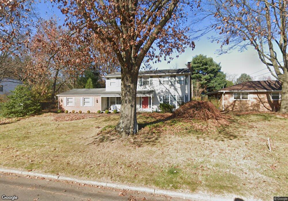
1023 Ashwood Dr Wooster, OH 44691
Estimated Value: $302,445 - $358,000
4
Beds
3
Baths
2,256
Sq Ft
$145/Sq Ft
Est. Value
About This Home
This home is located at 1023 Ashwood Dr, Wooster, OH 44691 and is currently estimated at $327,111, approximately $144 per square foot. 1023 Ashwood Dr is a home located in Wayne County with nearby schools including Parkview Elementary School, Edgewood Middle School, and Wooster High School.
Ownership History
Date
Name
Owned For
Owner Type
Purchase Details
Closed on
Sep 26, 2007
Sold by
Lavelle Thomas K
Bought by
Knapp John P and Knapp Karen D
Current Estimated Value
Home Financials for this Owner
Home Financials are based on the most recent Mortgage that was taken out on this home.
Original Mortgage
$116,500
Interest Rate
6.66%
Mortgage Type
New Conventional
Purchase Details
Closed on
Nov 30, 2005
Sold by
Estate Of Patricia F Lavelle
Bought by
Lavelle Thomas K
Purchase Details
Closed on
Sep 29, 2005
Sold by
Lavelle Thomas K
Bought by
Lavelle Thomas K and The Thomas K Lavelle Revocable Living Tr
Purchase Details
Closed on
Jun 9, 1986
Bought by
Lavelle Thomas K and Lavelle Patric
Create a Home Valuation Report for This Property
The Home Valuation Report is an in-depth analysis detailing your home's value as well as a comparison with similar homes in the area
Home Values in the Area
Average Home Value in this Area
Purchase History
| Date | Buyer | Sale Price | Title Company |
|---|---|---|---|
| Knapp John P | $166,500 | Attorney | |
| Lavelle Thomas K | -- | Wayne County Title | |
| Lavelle Thomas K | -- | Wayne County Title | |
| Lavelle Thomas K | $98,500 | -- |
Source: Public Records
Mortgage History
| Date | Status | Borrower | Loan Amount |
|---|---|---|---|
| Closed | Knapp John P | $116,500 |
Source: Public Records
Tax History Compared to Growth
Tax History
| Year | Tax Paid | Tax Assessment Tax Assessment Total Assessment is a certain percentage of the fair market value that is determined by local assessors to be the total taxable value of land and additions on the property. | Land | Improvement |
|---|---|---|---|---|
| 2024 | $3,723 | $89,770 | $19,050 | $70,720 |
| 2023 | $3,723 | $89,770 | $19,050 | $70,720 |
| 2022 | $3,542 | $68,010 | $14,430 | $53,580 |
| 2021 | $3,654 | $68,010 | $14,430 | $53,580 |
| 2020 | $3,464 | $68,010 | $14,430 | $53,580 |
| 2019 | $3,122 | $58,870 | $13,240 | $45,630 |
| 2018 | $3,131 | $58,870 | $13,240 | $45,630 |
| 2017 | $3,113 | $58,870 | $13,240 | $45,630 |
| 2016 | $3,252 | $56,610 | $12,730 | $43,880 |
| 2015 | $3,192 | $56,610 | $12,730 | $43,880 |
| 2014 | $3,194 | $56,610 | $12,730 | $43,880 |
| 2013 | $3,119 | $54,680 | $12,760 | $41,920 |
Source: Public Records
Map
Nearby Homes
- 1047 Ashwood Dr
- 1650 Carlin Trail
- 1627 Carlin Trail
- 1720 Carlin Trail
- Birch Plan at Clear Creek Run - Single Family Homes
- Aspen Plan at Clear Creek Run - Single Family Homes
- Tupelo Plan at Clear Creek Run - Single Family Homes
- Spruce Plan at Clear Creek Run - Single Family Homes
- Hazel Plan at Clear Creek Run - Single Family Homes
- 557 Oak Hill Rd
- 622 Northwestern Ave
- 758 Western Dr
- 1587 Saunders Dr
- 0 Eden
- 636 Saybolt Ave
- 862 Marilyn Dr
- 596 Meadow Ln
- 900 Quinby Ave
- 537 N Grant St
- 1960 Autumn Run
- 1011 Ashwood Dr
- 1035 Ashwood Dr
- 1026 Bucholz Dr
- 1012 Bucholz Dr
- 1012 Ashwood Dr
- 967 Ashwood Dr
- 1030 Ashwood Dr
- 1040 Bucholz Dr
- 1020 Ashwood Dr
- 1042 Ashwood Dr
- 966 Bucholz Dr
- 966 Ashwood Dr
- 955 Ashwood Dr
- 1054 Bucholz Dr
- 1052 Ashwood Dr
- 1025 Ridgecrest Dr
- 954 Bucholz Dr
- 958 Ashwood Dr
- 68-00390.001 Ridgecrest Dr
- 967 Ridgecrest Dr