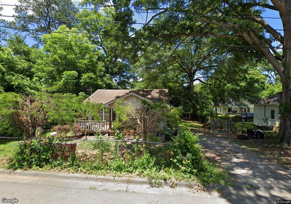
1023 Foster St Dalton, GA 30721
Estimated Value: $154,000 - $191,000
--
Bed
1
Bath
1,016
Sq Ft
$168/Sq Ft
Est. Value
About This Home
This home is located at 1023 Foster St, Dalton, GA 30721 and is currently estimated at $170,414, approximately $167 per square foot. 1023 Foster St is a home located in Whitfield County with nearby schools including Roan Elementary School, Dalton Middle School, and Dalton High School.
Ownership History
Date
Name
Owned For
Owner Type
Purchase Details
Closed on
Aug 24, 2005
Sold by
Not Provided
Bought by
Martinez Cirenio
Current Estimated Value
Purchase Details
Closed on
Aug 10, 2005
Sold by
Martinez Cirenio
Bought by
Martinez Virginia
Purchase Details
Closed on
Apr 20, 2005
Sold by
Hall William T
Bought by
Enriquez Jose P
Purchase Details
Closed on
Jan 1, 1996
Bought by
Martinez Cirenio
Create a Home Valuation Report for This Property
The Home Valuation Report is an in-depth analysis detailing your home's value as well as a comparison with similar homes in the area
Home Values in the Area
Average Home Value in this Area
Purchase History
| Date | Buyer | Sale Price | Title Company |
|---|---|---|---|
| Martinez Cirenio | -- | -- | |
| Martinez Virginia | -- | -- | |
| Enriquez Jose P | $98,000 | -- | |
| Martinez Cirenio | $41,000 | -- |
Source: Public Records
Tax History Compared to Growth
Tax History
| Year | Tax Paid | Tax Assessment Tax Assessment Total Assessment is a certain percentage of the fair market value that is determined by local assessors to be the total taxable value of land and additions on the property. | Land | Improvement |
|---|---|---|---|---|
| 2024 | $1,050 | $53,735 | $8,400 | $45,335 |
| 2023 | $1,050 | $28,387 | $5,400 | $22,987 |
| 2022 | $728 | $21,123 | $5,400 | $15,723 |
| 2021 | $729 | $21,123 | $5,400 | $15,723 |
| 2020 | $757 | $21,123 | $5,400 | $15,723 |
| 2019 | $780 | $21,123 | $5,400 | $15,723 |
| 2018 | $792 | $21,123 | $5,400 | $15,723 |
| 2017 | $762 | $21,123 | $5,400 | $15,723 |
| 2016 | $650 | $17,888 | $3,570 | $14,318 |
| 2014 | $590 | $17,888 | $3,570 | $14,318 |
| 2013 | -- | $17,888 | $3,570 | $14,318 |
Source: Public Records
Map
Nearby Homes
- 301B Fields Ave
- 204 N Bogle St
- 1118 Dozier St
- 303 Janice St
- 825 Martin Luther King jr Blvd
- 0 Robinwood Dr
- 711 E Morris St
- 502 E Woodland Dr
- 519 Abigail St
- 432 4th Ave
- 533 Underwood St
- 503 Harris St
- 606 Virginia Ave
- 311 Shady Ln
- 230 Henderson St
- 0 Dogwood Dr
- 404 Paige St
- 540 Stillwood Dr
- 601 Stillwood Dr
- 0 Underwood St Unit 129860
- 1103 Foster St
- 1031 Foster St
- 1019 Foster St
- 1015 Foster St
- 1012 Foster St
- 1102 Foster St
- 1102 Foster St
- 1011 Foster St
- 1100 Foster St
- 1107 Foster St
- 1104 Foster St
- 1017 Foster St
- 1016 Hair St
- 1016 Hair St
- 1010 Foster St
- 1014 Hair St
- 1013 Foster St
- 1013 Nelson Dr
- 1017 Nelson St Unit 1
- 1019 Nelson St