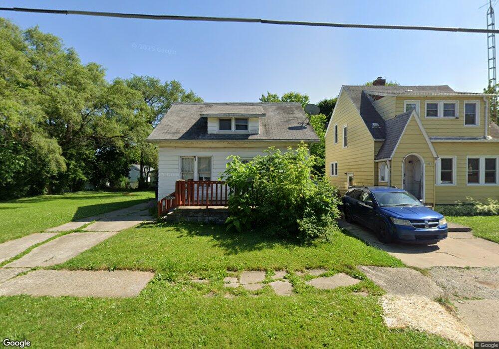
1023 Huron St Flint, MI 48507
South Side NeighborhoodEstimated Value: $48,000 - $59,000
1
Bed
2
Baths
1,056
Sq Ft
$50/Sq Ft
Est. Value
About This Home
This home is located at 1023 Huron St, Flint, MI 48507 and is currently estimated at $52,390, approximately $49 per square foot. 1023 Huron St is a home located in Genesee County with nearby schools including Neithercut Elementary School, Flint Southwestern Classical Academy, and International Academy of Flint (K-12).
Ownership History
Date
Name
Owned For
Owner Type
Purchase Details
Closed on
Feb 15, 2022
Sold by
John Richardson
Bought by
Maccready Laurie L
Current Estimated Value
Purchase Details
Closed on
Nov 3, 2020
Sold by
Flint City Churchs
Bought by
Life Challenge Ministries Of Southern Mi
Purchase Details
Closed on
Mar 26, 2017
Sold by
Melton Edward Larry and Melton Barbara Ann
Bought by
Flint Ciry Church Inc
Create a Home Valuation Report for This Property
The Home Valuation Report is an in-depth analysis detailing your home's value as well as a comparison with similar homes in the area
Home Values in the Area
Average Home Value in this Area
Purchase History
| Date | Buyer | Sale Price | Title Company |
|---|---|---|---|
| Maccready Laurie L | -- | Land Title | |
| Life Challenge Ministries Of Southern Mi | -- | None Available | |
| Flint Ciry Church Inc | -- | None Available |
Source: Public Records
Tax History
| Year | Tax Paid | Tax Assessment Tax Assessment Total Assessment is a certain percentage of the fair market value that is determined by local assessors to be the total taxable value of land and additions on the property. | Land | Improvement |
|---|---|---|---|---|
| 2025 | $1,691 | $19,700 | $0 | $0 |
| 2024 | $1,573 | $20,500 | $0 | $0 |
| 2023 | $1,536 | $16,300 | $0 | $0 |
| 2022 | $0 | $13,900 | $0 | $0 |
| 2021 | $1,355 | $12,700 | $0 | $0 |
| 2020 | $1,215 | $12,700 | $0 | $0 |
| 2019 | $1,022 | $12,900 | $0 | $0 |
| 2018 | $1,168 | $11,400 | $0 | $0 |
| 2017 | $1,416 | $0 | $0 | $0 |
| 2016 | $1,085 | $0 | $0 | $0 |
| 2015 | -- | $0 | $0 | $0 |
| 2014 | -- | $0 | $0 | $0 |
| 2012 | -- | $13,500 | $0 | $0 |
Source: Public Records
Map
Nearby Homes
- 1122 Markham St
- 1210 Pinehurst Ave
- 1234 Huron St
- 1310 Huron St
- 1318 Ingleside Ave
- 1310 Alvord Ave
- 845 Alvord Ave
- 846 W Hemphill Rd
- 1028 Campbell St
- 805 Alvord Ave
- 806 Alvord Ave
- 1130 W Atherton Rd
- 1410 Berrywood Ln
- 730 Alvord Ave
- 717 Huron St
- 1627 Blackberry Ln
- 1826 Greenbrook Ln
- 713 Leland St
- 1147 Norton St
- 1514 W Atherton Rd
- 1027 Huron St
- 1020 Ingleside Ave
- 1028 Ingleside Ave
- 1035 Huron St
- 1016 Ingleside Ave
- 1036 Ingleside Ave
- 1024 Huron St
- 1016 Huron St
- 1039 Huron St
- 1032 Huron St
- 1014 Huron St
- 1040 Ingleside Ave
- 1044 Ingleside Ave
- 4218 Fenton Rd
- 1011 Ingleside Ave
- 1044 Huron St
- 1102 Ingleside Ave
- 1019 Alvord Ave
- 1027 Alvord Ave
- 1105 Huron St
Your Personal Tour Guide
Ask me questions while you tour the home.