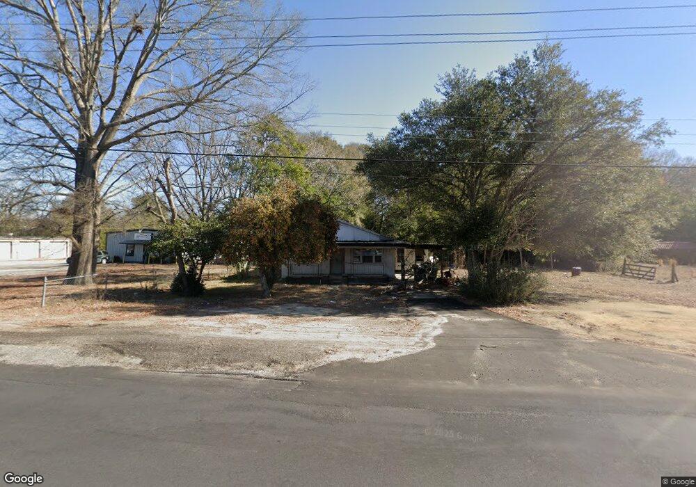
1023 Manning Rd Sumter, SC 29150
South Sumter NeighborhoodEstimated Value: $69,327 - $144,000
4
Beds
1
Bath
1,405
Sq Ft
$69/Sq Ft
Est. Value
About This Home
This home is located at 1023 Manning Rd, Sumter, SC 29150 and is currently estimated at $97,332, approximately $69 per square foot. 1023 Manning Rd is a home located in Sumter County with nearby schools including Kingsbury Elementary School, Bates Middle School, and Sumter High School.
Ownership History
Date
Name
Owned For
Owner Type
Purchase Details
Closed on
Jan 16, 2026
Sold by
Scott Ruby M and Scott Williard P
Bought by
Kennedy Frankie J
Current Estimated Value
Purchase Details
Closed on
Jul 7, 2025
Sold by
Richardson Melissa
Bought by
Richardson Melissa and Scott Williard P
Purchase Details
Closed on
Dec 24, 2020
Sold by
Scott Ruby
Bought by
Richardson Melissa and Scott Willard P
Create a Home Valuation Report for This Property
The Home Valuation Report is an in-depth analysis detailing your home's value as well as a comparison with similar homes in the area
Home Values in the Area
Average Home Value in this Area
Purchase History
| Date | Buyer | Sale Price | Title Company |
|---|---|---|---|
| Kennedy Frankie J | -- | None Listed On Document | |
| Richardson Melissa | -- | None Listed On Document | |
| Richardson Melissa | -- | None Listed On Document | |
| Richardson Melissa | -- | None Available |
Source: Public Records
Tax History
| Year | Tax Paid | Tax Assessment Tax Assessment Total Assessment is a certain percentage of the fair market value that is determined by local assessors to be the total taxable value of land and additions on the property. | Land | Improvement |
|---|---|---|---|---|
| 2025 | $950 | $2,110 | $780 | $1,330 |
| 2024 | $950 | $2,110 | $780 | $1,330 |
| 2023 | $779 | $2,110 | $780 | $1,330 |
| 2022 | $774 | $2,110 | $780 | $1,330 |
| 2021 | $772 | $2,110 | $780 | $1,330 |
| 2020 | $772 | $2,060 | $780 | $1,280 |
| 2019 | $763 | $2,060 | $780 | $1,280 |
| 2018 | $761 | $2,060 | $780 | $1,280 |
| 2017 | $757 | $2,060 | $780 | $1,280 |
| 2016 | $756 | $2,060 | $780 | $1,280 |
| 2015 | $751 | $2,120 | $780 | $1,340 |
| 2014 | $751 | $2,120 | $780 | $1,340 |
| 2013 | -- | $2,120 | $780 | $1,340 |
Source: Public Records
Map
Nearby Homes
- 10 Earle St
- 34 Webb Ave
- 998 S Main St
- 113 Laurel St
- 1116 Pocalla Rd
- 220 Alexander Place
- 230 Alexander Place
- 13 Harrison St
- 1234 Ivey St
- 706 Nelson St
- 725 S Sumter St
- 416 Red and White St
- 205 Brand St
- 718 Estate St
- 207 Brand St
- 501 Knightbridge Rd
- 9 Maney St
- 974 Meadowbrook Rd
- 956 Meadowbrook Rd
- 1023 Decatur St
Your Personal Tour Guide
Ask me questions while you tour the home.